2000s (21st Century) Maps of Lower Towamensing Township, Pennsylvania
Explore 15 historic maps of Lower Towamensing Township from the 2000s (21st Century). These maps offer a rare glimpse into what life looked like during the 2000s — showing old roads, neighborhoods, homes, and landmarks that have changed or disappeared over time.
Whether you're researching your family's past, planning a metal detecting trip, or studying how Lower Towamensing Township's landscape evolved across the 2000s, these high-resolution maps are a powerful tool for exploring the history of this region.
- Focus on a specific era: All maps on this page are from the 2000s, giving you a focused view of this time period.
- See what’s changed: Compare century-old streets, trails, and buildings to today's modern landscape using overlays and satellite layers.
- Research with precision: Use these maps for genealogy, historical research, land use analysis, or educational projects.
- View, download, or print: Maps are fully viewable online in high resolution, and can be downloaded or printed for your own records.
Start exploring Lower Towamensing Township's history through authentic maps from the 2000s. This is your window into the past.
Lower Towamensing Township, PA maps
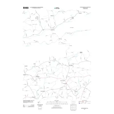
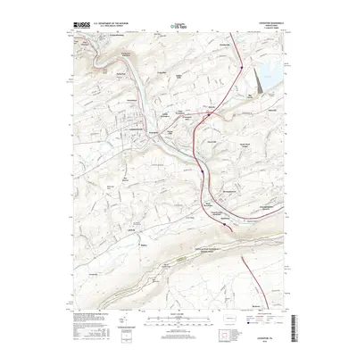
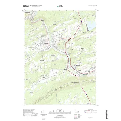
(15)- 2010 Map of Lehighton, 2010 Print
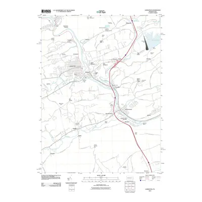 2010 Lehighton2010 Print · USGSCovers Lower Towamensing Township, including Lehighton, Jim Thorpe, and other nearby areas
 - 2010 Map of Kunkletown, 2010 Print
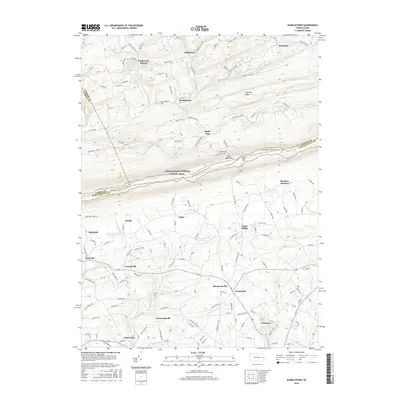
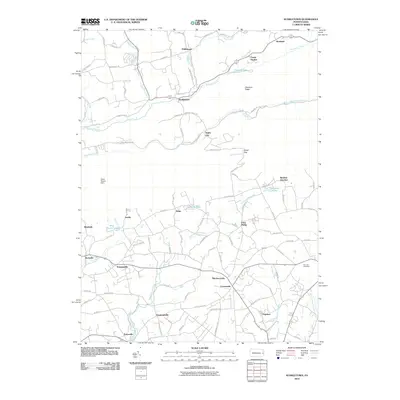 2010 Kunkletown2010 Print · USGSCovers Lower Towamensing Township, including Chapman, Klecknersville, and other nearby areas
 - 2010 Map of Palmerton, 2010 Print
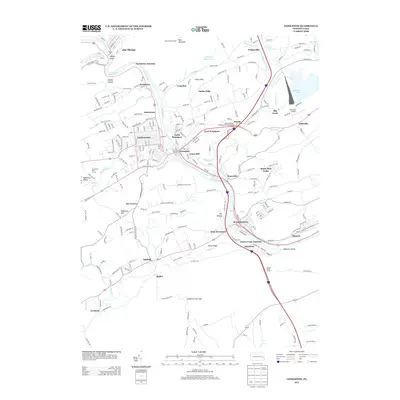
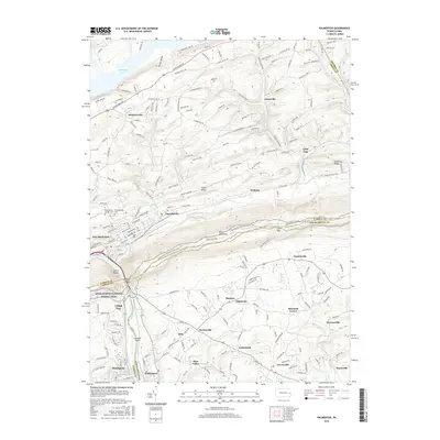
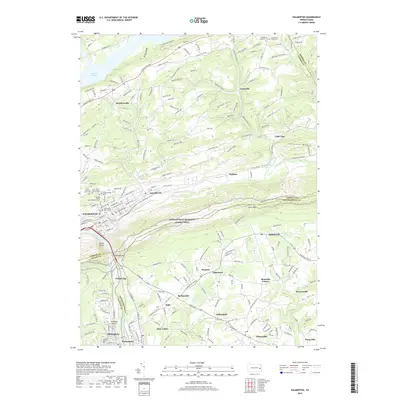
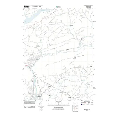 2010 Palmerton2010 Print · USGSCovers Lower Towamensing Township, including Palmerton, Walnutport, and other nearby areas
 - 2013 Map of Palmerton, 2013 Print
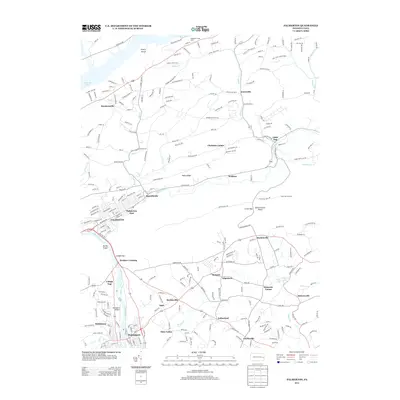 2013 Palmerton2013 Print · USGSCovers Lower Towamensing Township, including Palmerton, Walnutport, and other nearby areas
 - 2013 Map of Kunkletown, 2013 Print
 2013 Kunkletown2013 Print · USGSCovers Lower Towamensing Township, including Chapman, Klecknersville, and other nearby areas
 - 2013 Map of Lehighton, 2013 Print
 2013 Lehighton2013 Print · USGSCovers Lower Towamensing Township, including Lehighton, Jim Thorpe, and other nearby areas
 - 2016 Map of Kunkletown, 2016 Print
 2016 Kunkletown2016 Print · USGSCovers Lower Towamensing Township, including Chapman, Klecknersville, and other nearby areas
 - 2016 Map of Palmerton, 2016 Print
 2016 Palmerton2016 Print · USGSCovers Lower Towamensing Township, including Palmerton, Walnutport, and other nearby areas
 - 2016 Map of Lehighton, 2016 Print
 2016 Lehighton2016 Print · USGSCovers Lower Towamensing Township, including Lehighton, Jim Thorpe, and other nearby areas
 - 2019 Map of Kunkletown, 2019 Print
 2019 Kunkletown2019 Print · USGSCovers Lower Towamensing Township, including Chapman, Klecknersville, and other nearby areas
 - 2019 Map of Lehighton, 2019 Print
 2019 Lehighton2019 Print · USGSCovers Lower Towamensing Township, including Lehighton, Jim Thorpe, and other nearby areas
 - 2019 Map of Palmerton, 2019 Print
 2019 Palmerton2019 Print · USGSCovers Lower Towamensing Township, including Palmerton, Walnutport, and other nearby areas
 - 2023 Map of Kunkletown, 2023 Print
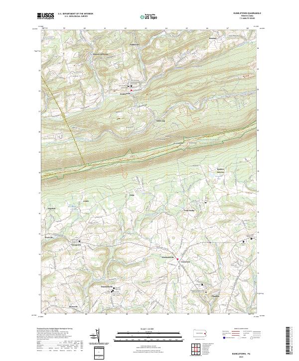 2023 Kunkletown2023 Print · USGSNorthampton County at the modern turn of the decade shows a landscape of clustered hamlets and mountain ridges where three counties converge. Genealogists can locate numerous burial sites and small crossroads like Benders Junction, Emmanuel's Union Church Cem - South, and Mountain View Cem.
 - 2023 Map of Palmerton, 2023 Print
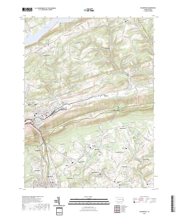 2023 Palmerton2023 Print · USGSThe Carbon and Lehigh County borderlands are shown in this contemporary study of the ridge-and-valley landscape. Researchers can trace family sites at Sacred Heart Roman Catholic Cem or follow the Appalachian National Scenic Trl through Lehigh Gap.
 - 2023 Map of Lehighton, 2023 Print
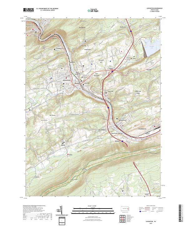 2023 Lehighton2023 Print · USGSThe Lehigh River corridor comes alive in this contemporary record of Carbon County settlement and industry. Genealogists and hikers can trace the Appalachian National Scenic Trail across Blue Mountain or locate family plots at Lehighton Cem and Packerton Cem.
End of results
Showing maps 1-15 of 15
Top cities near Lower Towamensing Township
- Allentown historical maps
- Bethlehem historical maps
- Fullerton historical maps
- Lower Saucon Township historical maps
- Hanover Township historical maps
- Northampton historical maps
See more
Top neighborhoods of Lower Towamensing Township
- Little Gap historical maps
- Christian Corner historical maps
- Walkton historical maps
- Aquashicola historical maps
Frequently asked questions
- What are the different types of historical maps available for Lower Towamensing Township?
- What is the oldest map of Lower Towamensing Township?
- Where can I purchase historical maps of Lower Towamensing Township for my home or office?
- Where can I download high-res historical maps of Lower Towamensing Township?
- Are there historical topographic maps available for Lower Towamensing Township?
- Is there historical aerial imagery available for Lower Towamensing Township?
- Where are historical maps of Lower Towamensing Township sourced from?