2000s (21st Century) Maps of Porter Township, Pennsylvania
Explore 20 historic maps of Porter Township from the 2000s (21st Century). These maps offer a rare glimpse into what life looked like during the 2000s — showing old roads, neighborhoods, homes, and landmarks that have changed or disappeared over time.
Whether you're researching your family's past, planning a metal detecting trip, or studying how Porter Township's landscape evolved across the 2000s, these high-resolution maps are a powerful tool for exploring the history of this region.
- Focus on a specific era: All maps on this page are from the 2000s, giving you a focused view of this time period.
- See what’s changed: Compare century-old streets, trails, and buildings to today's modern landscape using overlays and satellite layers.
- Research with precision: Use these maps for genealogy, historical research, land use analysis, or educational projects.
- View, download, or print: Maps are fully viewable online in high resolution, and can be downloaded or printed for your own records.
Start exploring Porter Township's history through authentic maps from the 2000s. This is your window into the past.
Porter Township, PA maps
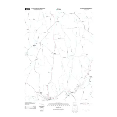
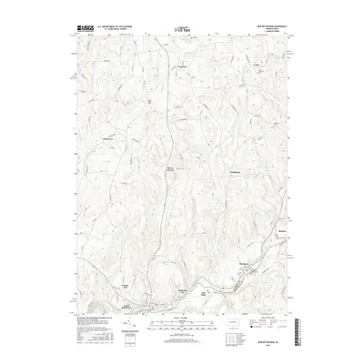
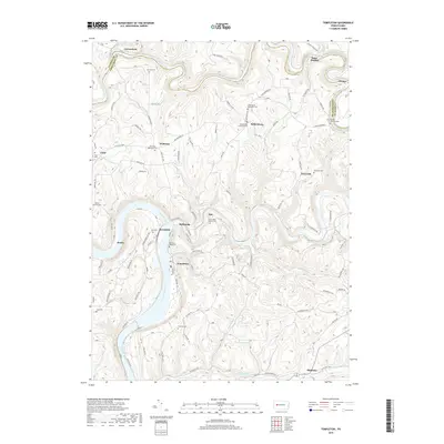
(20)- 2010 Map of Templeton, 2010 Print
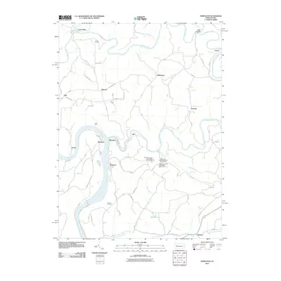 2010 Templeton2010 Print · USGSCovers Porter Township, including Mahoning, Washington Township, and other nearby areas
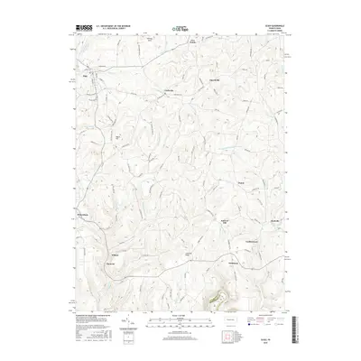
 - 2010 Map of Distant, 2010 Print
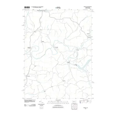 2010 Distant2010 Print · USGSCovers Porter Township, including South Bethlehem, Belknap, and other nearby areas
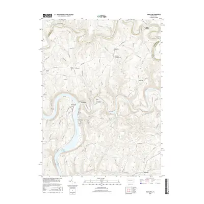
 - 2010 Map of New Bethlehem, 2010 Print
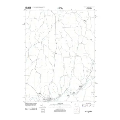 2010 New Bethlehem2010 Print · USGSCovers Porter Township, including Limestone Township, New Bethlehem, and other nearby areas
 - 2010 Map of Sligo, 2010 Print
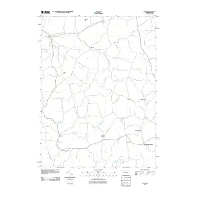 2010 Sligo2010 Print · USGSCovers Porter Township, including Toby Township, Sligo, and other nearby areas
 - 2013 Map of New Bethlehem, 2013 Print
 2013 New Bethlehem2013 Print · USGSCovers Porter Township, including Limestone Township, New Bethlehem, and other nearby areas
 - 2013 Map of Sligo, 2013 Print
 2013 Sligo2013 Print · USGSCovers Porter Township, including Toby Township, Sligo, and other nearby areas
 - 2013 Map of Distant, 2013 Print
 2013 Distant2013 Print · USGSCovers Porter Township, including South Bethlehem, Belknap, and other nearby areas
 - 2013 Map of Templeton, 2013 Print
 2013 Templeton2013 Print · USGSCovers Porter Township, including Mahoning, Washington Township, and other nearby areas
 - 2016 Map of New Bethlehem, 2016 Print
 2016 New Bethlehem2016 Print · USGSCovers Porter Township, including Limestone Township, New Bethlehem, and other nearby areas
 - 2016 Map of Distant, 2016 Print
 2016 Distant2016 Print · USGSCovers Porter Township, including South Bethlehem, Belknap, and other nearby areas
 - 2016 Map of Sligo, 2016 Print
 2016 Sligo2016 Print · USGSCovers Porter Township, including Toby Township, Sligo, and other nearby areas
 - 2016 Map of Templeton, 2016 Print
 2016 Templeton2016 Print · USGSCovers Porter Township, including Mahoning, Washington Township, and other nearby areas
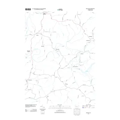
 - 2019 Map of Distant, 2019 Print
 2019 Distant2019 Print · USGSCovers Porter Township, including South Bethlehem, Belknap, and other nearby areas
 - 2019 Map of Templeton, 2019 Print
 2019 Templeton2019 Print · USGSCovers Porter Township, including Mahoning, Washington Township, and other nearby areas
 - 2019 Map of New Bethlehem, 2019 Print
 2019 New Bethlehem2019 Print · USGSCovers Porter Township, including Limestone Township, New Bethlehem, and other nearby areas
 - 2019 Map of Sligo, 2019 Print
 2019 Sligo2019 Print · USGSCovers Porter Township, including Toby Township, Sligo, and other nearby areas
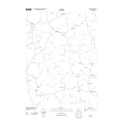
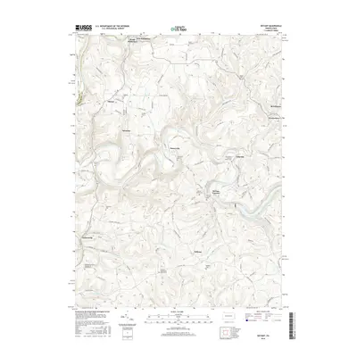
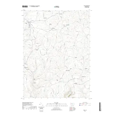
 - 2023 Map of Sligo, 2023 Print
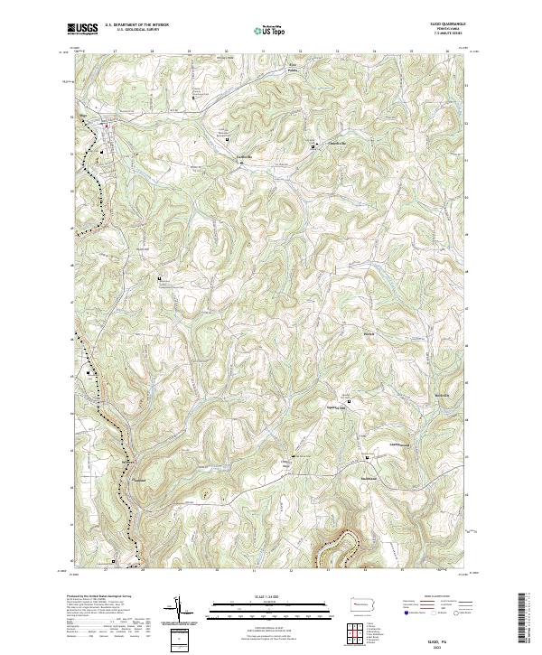 2023 Sligo2023 Print · USGSClarion County’s upland settlements and rural cemeteries are preserved in this recent topographic survey. Researchers can trace family history at the Clarion County Poorhouse Cem and explore old rail corridors like the Sligo Branch Line Trl.
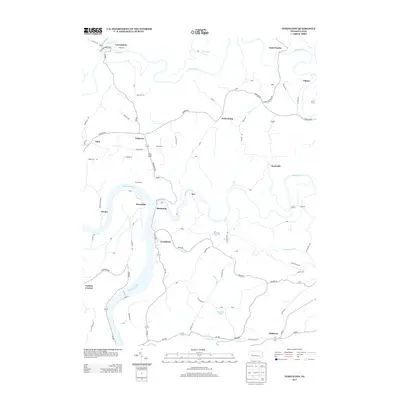
 - 2023 Map of New Bethlehem, 2023 Print
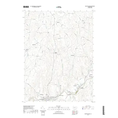
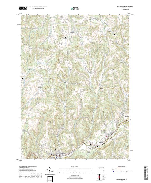 2023 New Bethlehem2023 Print · USGSThe hill country of western Pennsylvania comes into focus here, showing the river-bound settlements and upland hamlets of the early twenty-first century. Genealogists can locate family-named landmarks and several rural burial sites, including Salem Cem and Frazier Cem.
 - 2023 Map of Templeton, 2023 Print
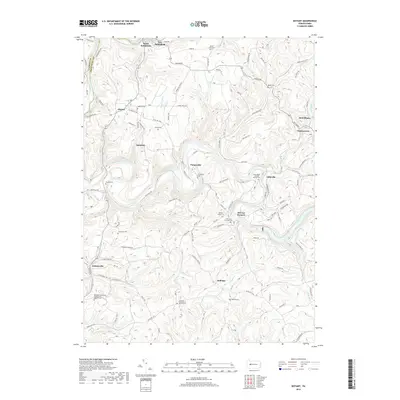
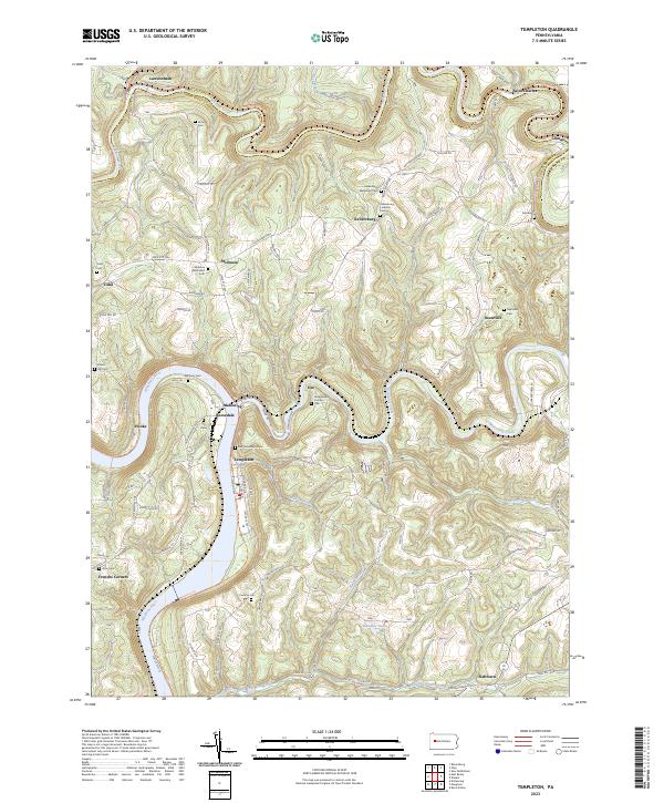 2023 Templeton2023 Print · USGSThe river valleys of Armstrong County come into focus in the 2020s, showing the enduring layout of the Pennsylvania countryside. Researchers can trace family history through a dense network of burial sites, including Stewardson Furnace Cem, Tidal Cem, and Walthour Cem.
 - 2023 Map of Distant, 2023 Print
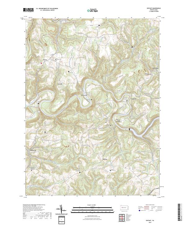 2023 Distant2023 Print · USGSThe rural border of Armstrong and Clarion counties is captured here in the contemporary era, showing a landscape of small crossroads settlements and creek-side villages. Genealogists and historians can locate numerous family and church burial sites, including the Milliron Family Cem, McCrea Furnace, and Putneyville.
End of results
Showing maps 1-20 of 20
Top cities near Porter Township
- Clarion historical maps
- Kittanning historical maps
- Limestone Township historical maps
- West Kittanning historical maps
- Monroe historical maps
- Mahoning historical maps
See more
Top neighborhoods of Porter Township
- Brinkerton historical maps
- Cottage Hill historical maps
- Saint Charles historical maps
- Smithland historical maps
- Leatherwood historical maps
- Rockville historical maps
See more
Frequently asked questions
- What are the different types of historical maps available for Porter Township?
- What is the oldest map of Porter Township?
- Where can I purchase historical maps of Porter Township for my home or office?
- Where can I download high-res historical maps of Porter Township?
- Are there historical topographic maps available for Porter Township?
- Is there historical aerial imagery available for Porter Township?
- Where are historical maps of Porter Township sourced from?