2000s (21st Century) Maps of East Keating Township, Pennsylvania
Explore 25 historic maps of East Keating Township from the 2000s (21st Century). These maps offer a rare glimpse into what life looked like during the 2000s — showing old roads, neighborhoods, homes, and landmarks that have changed or disappeared over time.
Whether you're researching your family's past, planning a metal detecting trip, or studying how East Keating Township's landscape evolved across the 2000s, these high-resolution maps are a powerful tool for exploring the history of this region.
- Focus on a specific era: All maps on this page are from the 2000s, giving you a focused view of this time period.
- See what’s changed: Compare century-old streets, trails, and buildings to today's modern landscape using overlays and satellite layers.
- Research with precision: Use these maps for genealogy, historical research, land use analysis, or educational projects.
- View, download, or print: Maps are fully viewable online in high resolution, and can be downloaded or printed for your own records.
Start exploring East Keating Township's history through authentic maps from the 2000s. This is your window into the past.
East Keating Township, PA maps
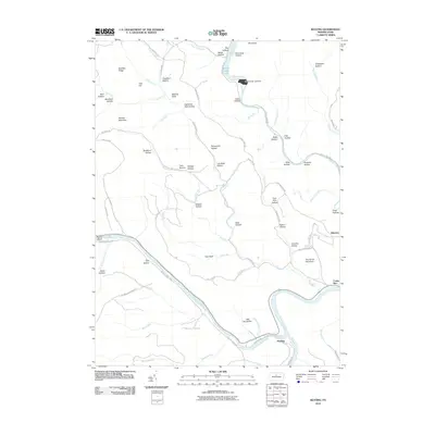
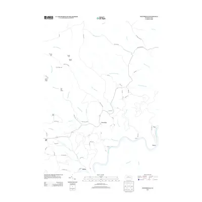
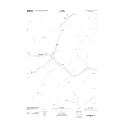
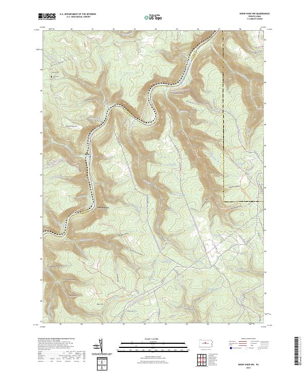
(25)- 2010 Map of Snow Shoe NW, 2010 Print
 2010 Snow Shoe NW2010 Print · USGSCovers East Keating Township, including West Keating Township, Twin Hollows, and other nearby areas
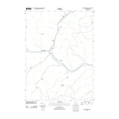
 - 2010 Map of Keating, 2010 Print
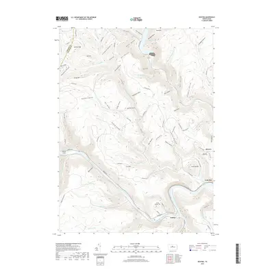
 2010 Keating2010 Print · USGSCovers East Keating Township, including Leidy Township, Bitumen, and other nearby areas
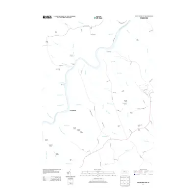
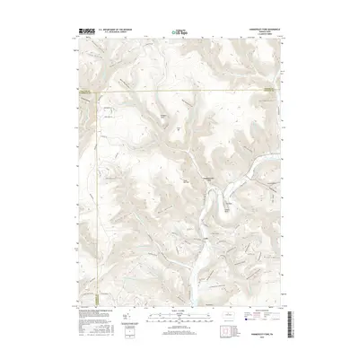
 - 2010 Map of Hammersley Fork, 2010 Print
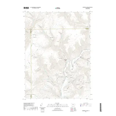
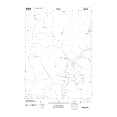 2010 Hammersley Fork2010 Print · USGSCovers East Keating Township, including Leidy Township, Wharton Township, and other nearby areas
 - 2010 Map of Pottersdale, 2010 Print
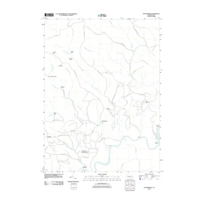 2010 Pottersdale2010 Print · USGSCovers East Keating Township, including Karthaus Township, West Keating Township, and other nearby areas
 - 2010 Map of Sinnemahoning, 2010 Print
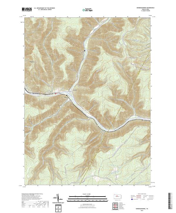
 2010 Sinnemahoning2010 Print · USGSCovers East Keating Township, including West Keating Township, Wyside, and other nearby areas
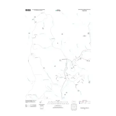
 - 2013 Map of Pottersdale, 2013 Print
 2013 Pottersdale2013 Print · USGSCovers East Keating Township, including Karthaus Township, West Keating Township, and other nearby areas
 - 2013 Map of Hammersley Fork, 2013 Print
 2013 Hammersley Fork2013 Print · USGSCovers East Keating Township, including Leidy Township, Wharton Township, and other nearby areas
 - 2013 Map of Keating, 2013 Print
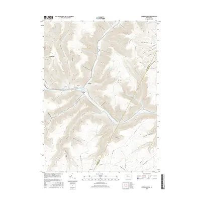
 2013 Keating2013 Print · USGSCovers East Keating Township, including Leidy Township, Bitumen, and other nearby areas
 - 2013 Map of Snow Shoe NW, 2013 Print
 2013 Snow Shoe NW2013 Print · USGSCovers East Keating Township, including West Keating Township, Twin Hollows, and other nearby areas
 - 2013 Map of Sinnemahoning, 2013 Print
 2013 Sinnemahoning2013 Print · USGSCovers East Keating Township, including West Keating Township, Wyside, and other nearby areas
 - 2016 Map of Pottersdale, 2016 Print
 2016 Pottersdale2016 Print · USGSCovers East Keating Township, including Karthaus Township, West Keating Township, and other nearby areas
 - 2016 Map of Snow Shoe NW, 2016 Print
 2016 Snow Shoe NW2016 Print · USGSCovers East Keating Township, including West Keating Township, Twin Hollows, and other nearby areas
 - 2016 Map of Keating, 2016 Print
 2016 Keating2016 Print · USGSCovers East Keating Township, including Leidy Township, Bitumen, and other nearby areas
 - 2016 Map of Hammersley Fork, 2016 Print
 2016 Hammersley Fork2016 Print · USGSCovers East Keating Township, including Leidy Township, Wharton Township, and other nearby areas
 - 2016 Map of Sinnemahoning, 2016 Print
 2016 Sinnemahoning2016 Print · USGSCovers East Keating Township, including West Keating Township, Wyside, and other nearby areas
 - 2019 Map of Sinnemahoning, 2019 Print
 2019 Sinnemahoning2019 Print · USGSCovers East Keating Township, including West Keating Township, Wyside, and other nearby areas
 - 2019 Map of Pottersdale, 2019 Print
 2019 Pottersdale2019 Print · USGSCovers East Keating Township, including Karthaus Township, West Keating Township, and other nearby areas
 - 2019 Map of Snow Shoe NW, 2019 Print
 2019 Snow Shoe NW2019 Print · USGSCovers East Keating Township, including West Keating Township, Twin Hollows, and other nearby areas
 - 2019 Map of Keating, 2019 Print
 2019 Keating2019 Print · USGSCovers East Keating Township, including Leidy Township, Bitumen, and other nearby areas
 - 2019 Map of Hammersley Fork, 2019 Print
 2019 Hammersley Fork2019 Print · USGSCovers East Keating Township, including Leidy Township, Wharton Township, and other nearby areas
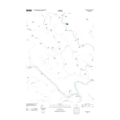
 - 2023 Map of Keating, 2023 Print
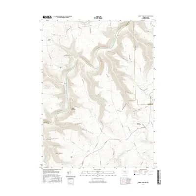
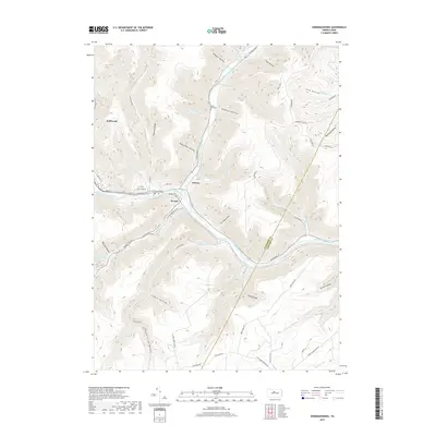
 2023 Keating2023 Print · USGSSettled at the confluence of Sinnemahoning Creek and the Susquehanna, this area was a vital waterway hub. Genealogists can trace family names at Bitumen and Saint Marys Catholic Cem or explore the terrain of Keating.
 - 2023 Map of Snow Shoe NW, 2023 Print
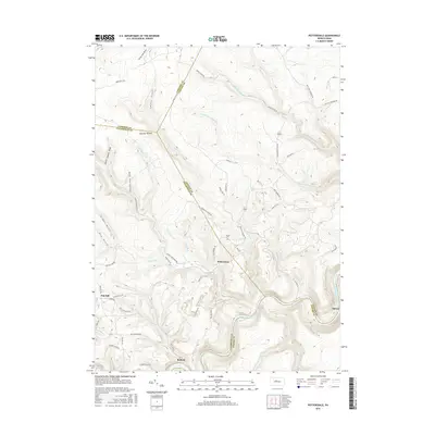
 2023 Snow Shoe NW2023 Print · USGSThe West Branch Susquehanna River divides Clinton and Centre counties in the early twenty-first century, shaping a landscape defined by deep hollows and high ridges. Researchers can trace local landmarks like Nelsonville Cem, the settlement of Birch, and the winding Chuck Keiper Trl.
 - 2023 Map of Pottersdale, 2023 Print
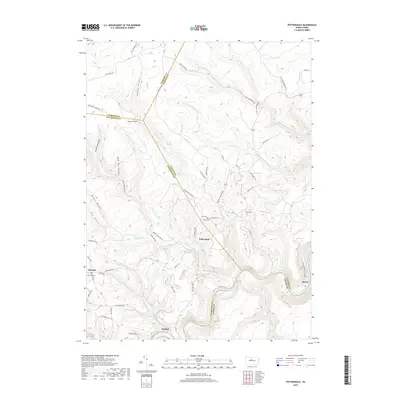
 2023 Pottersdale2023 Print · USGSThe rugged junction of Clearfield and Clinton counties is captured here in the 2020s. Genealogists and hikers can trace the remote settlements of Pottersdale and Oak Hill, locating the Gaines Cem and the deep woods of Panther Hollow.
 - 2023 Map of Sinnemahoning, 2023 Print
 2023 Sinnemahoning2023 Print · USGSSinnemahoning Creek and its deep hollows define this area in 2023, where the river and rail lines converge near the village of Driftwood. Genealogists and hikers can trace the Miller Run Cem, Wyside Cem, and the long Bucktail Path Trl.
 - 2023 Map of Hammersley Fork, 2023 Print
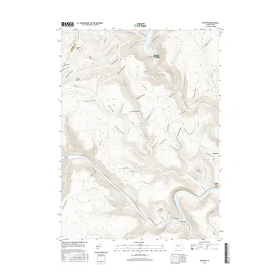
 2023 Hammersley Fork2023 Print · USGSSettlement and recreation meet along the Potter and Clinton county lines in the contemporary Pennsylvania wilds. Genealogists and researchers can trace old family burial grounds at Gospel Camp Cemetery and McCoy Cemetery near Hammersley Fork.
End of results
Showing maps 1-25 of 25
Top cities near East Keating Township
- Karthaus Township historical maps
- Leidy Township historical maps
- Wharton Township historical maps
- Driftwood historical maps
Top neighborhoods of East Keating Township
Frequently asked questions
- What are the different types of historical maps available for East Keating Township?
- What is the oldest map of East Keating Township?
- Where can I purchase historical maps of East Keating Township for my home or office?
- Where can I download high-res historical maps of East Keating Township?
- Are there historical topographic maps available for East Keating Township?
- Is there historical aerial imagery available for East Keating Township?
- Where are historical maps of East Keating Township sourced from?