Old Maps of Sugarloaf Township, Pennsylvania for Hiking & Exploration
Hike through history with 37 historic maps of Sugarloaf Township. Explore old trails, ghost towns, and forgotten backroads — perfect for outdoor adventurers and local explorers.
- Rediscover forgotten places: Map out old mining camps, roads, and footpaths that no longer exist on modern maps.
- Layer with modern tools: Combine with LiDAR or satellite views to plan hikes through historical terrain.
- Made for exploration: Popular among hikers, overlanders, and local history lovers.
Use these maps to find adventure and explore the hidden past of Sugarloaf Township.
Sugarloaf Township, PA maps
(37)- 1894 Map of Bloomsburg
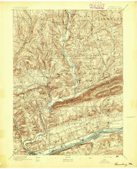 1894 Bloomsburg1894 Print · USGSThe Sesquehanna River valley in the late nineteenth century shows a landscape shaped by competing rail and water transport. Genealogists can trace family roots in river towns like Mifflinville or follow the mills and stations along Fishing Creek and the Sullivan RR.6 unique versions available
 - 1934 Map of Laporte
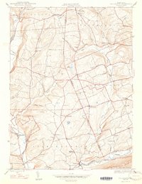
 1934 Laporte1934 Print · USGSSullivan County in the early thirties was a landscape of timber camps and coal towns connected by the Lehigh Valley railroad. Genealogists and local historians can trace family locations through old landmarks like Richards Grove, the Sugarloaf Sch, and Jamison City.3 unique versions available
 - 1947 Map of Stillwater
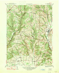
 1947 Stillwater1947 Print · USGSMid-century Columbia and Luzerne counties come alive in this survey of the upland farms and creek valleys north of the Susquehanna. Genealogists can locate family landmarks such as Belles Cem, St James Ch, and numerous country schools like Town Hill Sch.2 unique versions available
 - 1947 Map of Benton
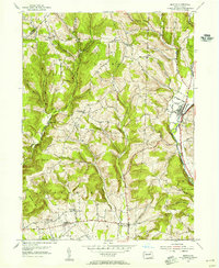
 1947 Benton1947 Print · USGSBenton and the banks of Fishing Creek were centerpieces of Columbia County life just after the war. Local historians can trace the foundations of these communities through the Coles Mill site, the Rohrsburg Cem, and small rural schools like Upper Pine Sch.2 unique versions available
 - 1953 Map of Benton, 1955 Print
 1953 Benton1955 Print · USGSIn the early 1950s, the Fishing Creek valley supported a network of quiet farming townships and small railroad hubs. Genealogists can trace family footprints through sites like Rohrsburg Cem, the Consolidated Sch, and Coles Mill.5 unique versions available
 - 1953 Map of LaPorte, 1956 Print
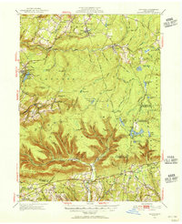 1953 LaPorte1956 Print · USGSSullivan County's plateau country is captured here during the early 1950s, showing a landscape of small coal towns and growing state parks. Researchers can find many rural landmarks, including Painter Mills, Sugarloaf Sch, and the high waters of Ganoga Lake.3 unique versions available
 - 1954 Map of Williamsport
 1954 Williamsport1954 Print · USGSNorth-central Pennsylvania in the mid-fifties is defined by the winding West Branch Susquehanna River and its industrial valley. Local historians can trace the massive Susquehanna Ordnance Depot and the extensive rail networks of the Pennsylvania Railroad.
 - 1954 Map of Stillwater, 1955 Print
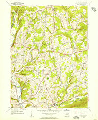 1954 Stillwater1955 Print · USGSNortheastern Pennsylvania’s agricultural and woodland landscape is captured here in the mid-fifties, centered on the boundary of Columbia and Luzerne counties. Genealogists can trace family roots through landmarks like Thompson Cem, Zaner Sch, and the Reading rail corridor.4 unique versions available
 - 1954 Map of Bloomsburg, 1955 Print
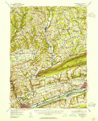 1954 Bloomsburg1955 Print · USGSBloomsburg and the Susquehanna River valley are captured in the mid-fifties, showing the region's transition from riverfront industry to upland farming. Genealogists can trace family names across Coles Mill, Hidlay Ch Cem, and the State Teachers College.2 unique versions available
 - 1960 Map of Williamsport
 1960 Williamsport1960 Print · USGSNorth-central Pennsylvania in the mid-twentieth century was a vital corridor of rail and river industry stretching from the New York line to the coal regions. Genealogists can trace the rail networks of the Pennsylvania RR and Lehigh Valley RR connecting towns like Williamsport, Towanda, and Lock Haven.
 - 1962 Map of Williamsport, 1966 Print
 1962 Williamsport1966 Print · USGSNorth-central Pennsylvania was a landscape of industrial river hubs and vast state woodlands in the early sixties. Researchers can trace the path of the Pennsylvania Railroad through Williamsport and explore the remote reaches of Bucktail State Park.5 unique versions available
 - 1965 Map of Williamsport
 1965 Williamsport1965 Print · USGSNorth-central Pennsylvania in the mid-1960s is defined by the industrial river towns and vast timberlands of the Allegheny Plateau. Researchers can trace historic rail lines like the Erie Lackawanna and Reading as they thread through Williamsport, Lock Haven, and Jersey Shore.
 - 1966 Map of Williamsport
 1966 Williamsport1966 Print · USGSThe Susquehanna Valley was a hub of transit and industry in the mid-seventies, where the river's West Branch connected major college towns and timberlands. Researchers can trace historical rail lines like the Reading or locate regional landmarks from Jersey Shore to Ricketts Glen State Park.
 - 1969 Map of Elk Grove, 1973 Print
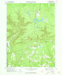
 1969 Elk Grove1973 Print · USGSSullivan and Columbia counties appear at a quiet moment in the late sixties, showing the small creek-side settlements that define the Endless Mountains. Researchers can trace the Old Railroad Grade or locate family sites near Elk Grove, Central, and Brandon Ch.3 unique versions available
 - 1969 Map of Red Rock, 1973 Print
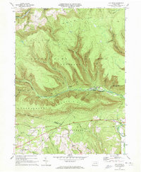
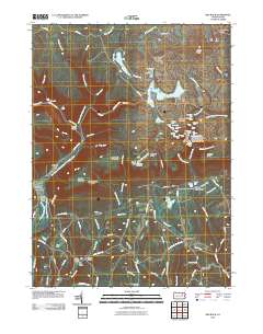
 1969 Red Rock1973 Print · USGSThe high plateau of the Endless Mountains is captured in the late sixties, showing the Cold War presence of the Benton Air Force Station. Genealogists and historians can trace the remote settlements of Jamison City, Central, and Mossville alongside the waterfalls of Ricketts Glen State Park.4 unique versions available
 - 1984 Map of Williamsport East, 1985 Print
 1984 Williamsport East1985 Print · USGSThe Susquehanna River valley and Allegheny highlands come together in this mid-eighties survey of central Pennsylvania. Trace family roots at Muncy Cem or locate institutional landmarks like Lycoming College and the State Correctional Institution at Retreat.2 unique versions available
 - 1995 Map of Red Rock, 1998 Print
 1995 Red Rock1998 Print · USGSThe high plateau where Sullivan, Luzerne, and Columbia counties converge was a hub of timbering and mountain recreation in the mid-nineties. Trace the path of the Old Railroad Grade or locate the Covered Bridge near historical settlements like Jamison City and Tri Mills.
 - 2010 Map of Stillwater, 2010 Print
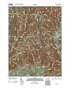
 2010 Stillwater2010 Print · USGSCovers Sugarloaf Township, including New Columbus, Stillwater, and other nearby areas
 - 2010 Map of Elk Grove, 2010 Print
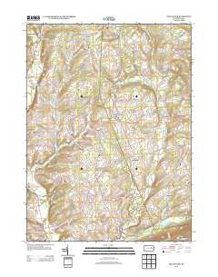
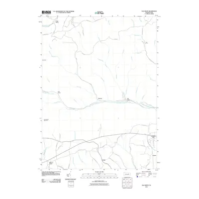 2010 Elk Grove2010 Print · USGSCovers Sugarloaf Township, including Jackson Township, Laporte Township, and other nearby areas
 - 2010 Map of Red Rock, 2010 Print
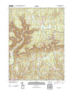
 2010 Red Rock2010 Print · USGSCovers Sugarloaf Township, including Colley Township, Jamison City, and other nearby areas
 - 2010 Map of Benton, 2010 Print
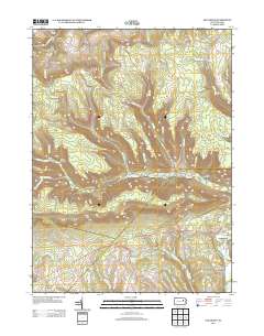
 2010 Benton2010 Print · USGSCovers Sugarloaf Township, including Greenwood Township, Benton, and other nearby areas
 - 2013 Map of Red Rock, 2013 Print
 2013 Red Rock2013 Print · USGSCovers Sugarloaf Township, including Colley Township, Jamison City, and other nearby areas
 - 2013 Map of Stillwater, 2013 Print
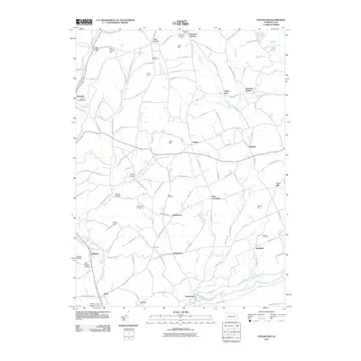
 2013 Stillwater2013 Print · USGSCovers Sugarloaf Township, including New Columbus, Stillwater, and other nearby areas
 - 2013 Map of Elk Grove, 2013 Print
 2013 Elk Grove2013 Print · USGSCovers Sugarloaf Township, including Jackson Township, Laporte Township, and other nearby areas
 - 2013 Map of Benton, 2013 Print
 2013 Benton2013 Print · USGSCovers Sugarloaf Township, including Greenwood Township, Benton, and other nearby areas
Showing maps 1-25 of 37
Top cities near Sugarloaf Township
- Berwick historical maps
- Hunlock Township historical maps
- Greenwood Township historical maps
- North Centre Township historical maps
- Nescopeck historical maps
- Conyngham Township historical maps
See more
Top neighborhoods of Sugarloaf Township
- Five Points historical maps
- Jamison City historical maps
- Laubach historical maps
- Coles Creek historical maps
- Elk Grove historical maps
- Tri Mills historical maps
See more
Frequently asked questions
- What are the different types of historical maps available for Sugarloaf Township?
- What is the oldest map of Sugarloaf Township?
- Where can I purchase historical maps of Sugarloaf Township for my home or office?
- Where can I download high-res historical maps of Sugarloaf Township?
- Are there historical topographic maps available for Sugarloaf Township?
- Is there historical aerial imagery available for Sugarloaf Township?
- Where are historical maps of Sugarloaf Township sourced from?