2000s (21st Century) Maps of Conneaut Township, Pennsylvania
Explore 20 historic maps of Conneaut Township from the 2000s (21st Century). These maps offer a rare glimpse into what life looked like during the 2000s — showing old roads, neighborhoods, homes, and landmarks that have changed or disappeared over time.
Whether you're researching your family's past, planning a metal detecting trip, or studying how Conneaut Township's landscape evolved across the 2000s, these high-resolution maps are a powerful tool for exploring the history of this region.
- Focus on a specific era: All maps on this page are from the 2000s, giving you a focused view of this time period.
- See what’s changed: Compare century-old streets, trails, and buildings to today's modern landscape using overlays and satellite layers.
- Research with precision: Use these maps for genealogy, historical research, land use analysis, or educational projects.
- View, download, or print: Maps are fully viewable online in high resolution, and can be downloaded or printed for your own records.
Start exploring Conneaut Township's history through authentic maps from the 2000s. This is your window into the past.
Conneaut Township, PA maps
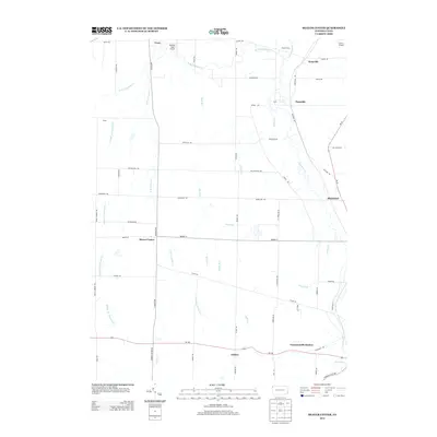
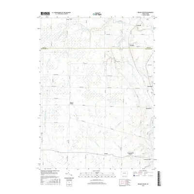
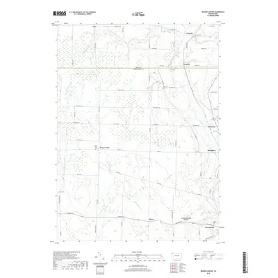
(20)- 2010 Map of Beaver Center, 2010 Print
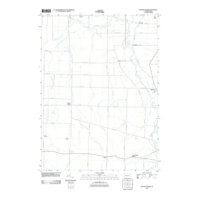 2010 Beaver Center2010 Print · USGSCovers Conneaut Township, including Spring Township, Beaver Township, and other nearby areas
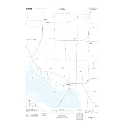
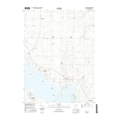
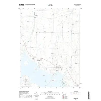
 - 2010 Map of Linesville, 2010 Print
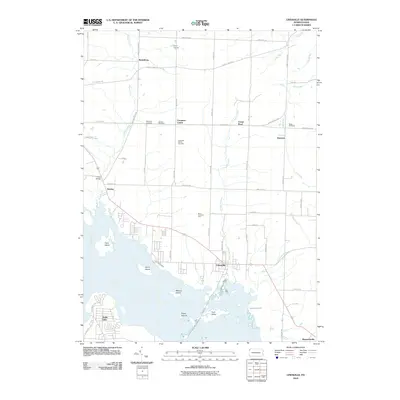 2010 Linesville2010 Print · USGSCovers Conneaut Township, including Linesville, North Shenango Township, and other nearby areas
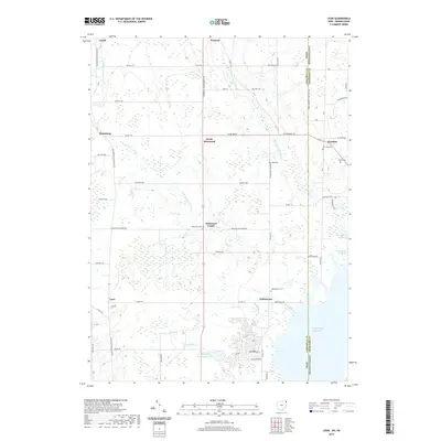
 - 2010 Map of Pierpont, 2010 Print
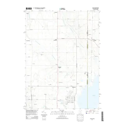
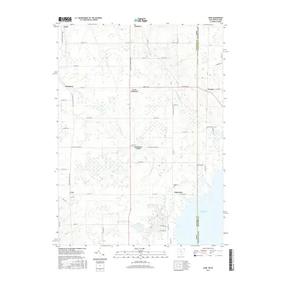
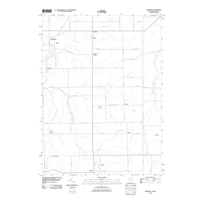 2010 Pierpont2010 Print · USGSCovers Conneaut Township, including Pierpont, Pierpont Township, and other nearby areas
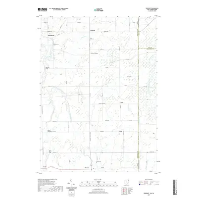
 - 2010 Map of Leon, 2010 Print
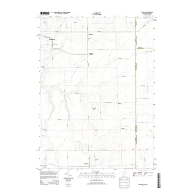
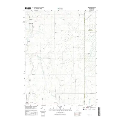
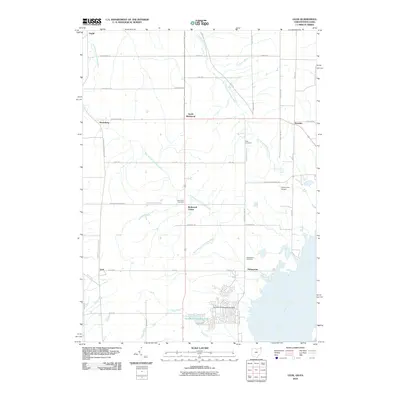 2010 Leon2010 Print · USGSCovers Conneaut Township, including Pierpont Township, Denmark Township, and other nearby areas
 - 2013 Map of Beaver Center, 2013 Print
 2013 Beaver Center2013 Print · USGSCovers Conneaut Township, including Spring Township, Beaver Township, and other nearby areas
 - 2013 Map of Linesville, 2013 Print
 2013 Linesville2013 Print · USGSCovers Conneaut Township, including Linesville, North Shenango Township, and other nearby areas
 - 2013 Map of Pierpont, 2013 Print
 2013 Pierpont2013 Print · USGSCovers Conneaut Township, including Pierpont, Pierpont Township, and other nearby areas
 - 2013 Map of Leon, 2013 Print
 2013 Leon2013 Print · USGSCovers Conneaut Township, including Pierpont Township, Denmark Township, and other nearby areas
 - 2016 Map of Beaver Center, 2016 Print
 2016 Beaver Center2016 Print · USGSCovers Conneaut Township, including Spring Township, Beaver Township, and other nearby areas
 - 2016 Map of Linesville, 2016 Print
 2016 Linesville2016 Print · USGSCovers Conneaut Township, including Linesville, North Shenango Township, and other nearby areas
 - 2016 Map of Pierpont, 2016 Print
 2016 Pierpont2016 Print · USGSCovers Conneaut Township, including Pierpont, Pierpont Township, and other nearby areas
 - 2016 Map of Leon, 2016 Print
 2016 Leon2016 Print · USGSCovers Conneaut Township, including Pierpont Township, Denmark Township, and other nearby areas
 - 2019 Map of Beaver Center, 2019 Print
 2019 Beaver Center2019 Print · USGSCovers Conneaut Township, including Spring Township, Beaver Township, and other nearby areas
 - 2019 Map of Linesville, 2019 Print
 2019 Linesville2019 Print · USGSCovers Conneaut Township, including Linesville, North Shenango Township, and other nearby areas
 - 2019 Map of Leon, 2019 Print
 2019 Leon2019 Print · USGSCovers Conneaut Township, including Pierpont Township, Denmark Township, and other nearby areas
 - 2019 Map of Pierpont, 2019 Print
 2019 Pierpont2019 Print · USGSCovers Conneaut Township, including Pierpont, Pierpont Township, and other nearby areas
 - 2023 Map of Beaver Center, 2023 Print
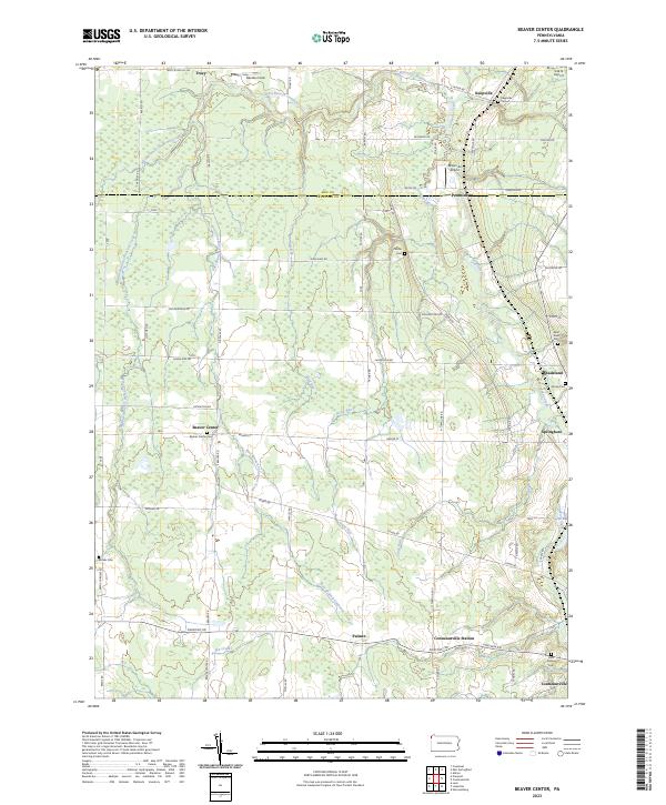 2023 Beaver Center2023 Print · USGSSettled along the creeks of Crawford County, this recent survey captures the rural landscape near Springboro and Beaver Center. Genealogists can locate family landmarks like Saint Sava Cem, Brooks Cem, and Keepville Cem.
 - 2023 Map of Linesville, 2023 Print
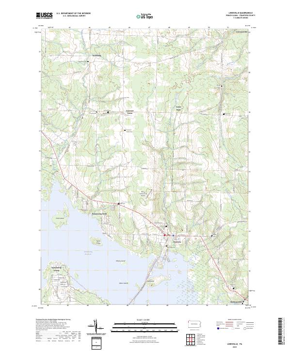 2023 Linesville2023 Print · USGSCrawford County at the start of the 2020s shows a landscape where lakeside recreation at the Pymatuning Reservoir meets deep-rooted rural history. Researchers can trace family sites through numerous burial grounds like Sacred Heart Cem and Frey Cem or locate the small airfields and hamlets of Linesville and Steamburg.
 - 2023 Map of Pierpont, 2023 Print
 2023 Pierpont2023 Print · USGSAshtabula County's borderlands with Pennsylvania are meticulously detailed in this recent study of rural township life and headwater drainage. Trace family roots at Monroe Cemetery or Evergreen Cemetery and explore old settlements like Kelloggsville and Bushnell.
 - 2023 Map of Leon, 2023 Print
 2023 Leon2023 Print · USGSThe rural borderlands of Ohio and Pennsylvania come to life in this recent survey of the settlements near the Pymatuning Reservoir. Genealogists and historians can trace local family lineages through several small burial sites, including Richmond Center Cem, Dart Cem, and the community at Padanaram.
End of results
Showing maps 1-20 of 20
Top cities near Conneaut Township
- Conneaut historical maps
- North Kingsville historical maps
- Kinsman Township historical maps
- Williamsfield historical maps
- Kingsville historical maps
- Spring Township historical maps
See more
Top neighborhoods of Conneaut Township
- Center Road historical maps
- Steamburg historical maps
- Waring historical maps
- Conneaut Center historical maps
- Pennline historical maps
Frequently asked questions
- What are the different types of historical maps available for Conneaut Township?
- What is the oldest map of Conneaut Township?
- Where can I purchase historical maps of Conneaut Township for my home or office?
- Where can I download high-res historical maps of Conneaut Township?
- Are there historical topographic maps available for Conneaut Township?
- Is there historical aerial imagery available for Conneaut Township?
- Where are historical maps of Conneaut Township sourced from?