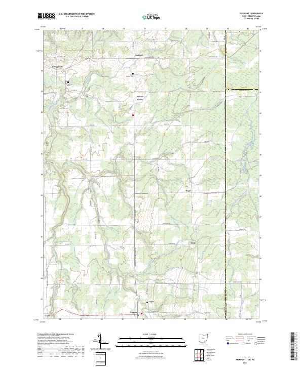
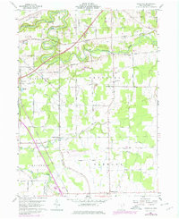
2023 Map of Pierpont
USGS Topo · Published 2023About this map
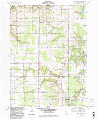
The state boundary between Ohio and Pennsylvania bisects the rural landscape of eastern Ashtabula County, where small agricultural hubs like Pierpont and Kelloggsville anchor the local road network. The terrain is defined by the headwaters of several significant waterways, including the Ashtabula River and its East Branch, which carve through the till plains toward Lake Erie. This modern topographic study reveals a long-standing pattern of dispersed settlements and family-named landmarks like Monroe Center and Shipp.
Find a feature on this map
62 named features on this map. Tap any name to fly to it.
Don’t see what you’re looking for? This feature index may not catch every label — zoom into the map to look around manually.
Map Details
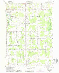
Editions of this 2023 Pierpont Map
This is the sole edition of this map. No revisions or reprints were ever made.
Historical Maps of Conneaut Township Through Time
26 maps found
1959 Cherry Valley
Ashtabula County, OH
1959 Dorset
Ashtabula County, OH
1959 East Trumbull
Ashtabula County, OH
1959 Leon
Ashtabula County, OH
1959 Windsor
Ashtabula County, OH
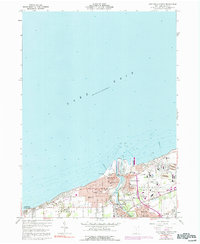
1960 Ashtabula North
Ashtabula County, OH
1960 Ashtabula South
Ashtabula County, OH
1960 Gageville
Ashtabula County, OH
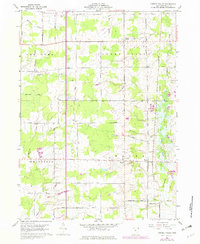
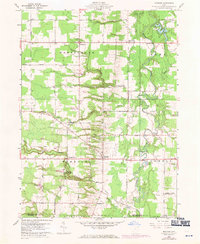
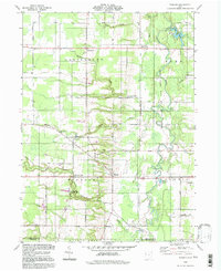
1960 Pierpont
Ashtabula County, OH
1994 Cherry Valley
Ashtabula County, OH
1994 Dorset
Ashtabula County, OH
1994 East Trumbull
Ashtabula County, OH
1994 Gageville
Ashtabula County, OH
1994 Leon
Ashtabula County, OH
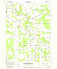
1994 Pierpont
Ashtabula County, OH
1994 Windsor
Ashtabula County, OH
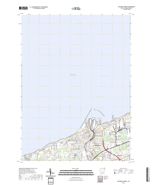
2023 Ashtabula North
Ashtabula County, OH
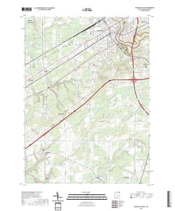
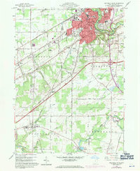
2023 Ashtabula South
Ashtabula County, OH
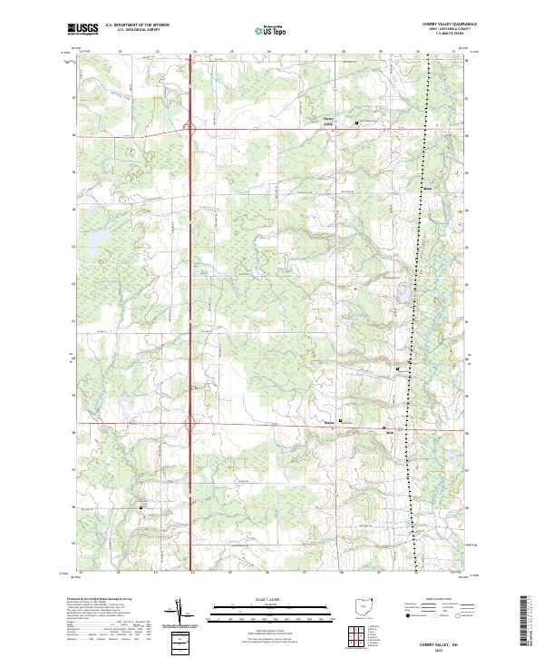
2023 Cherry Valley
Ashtabula County, OH
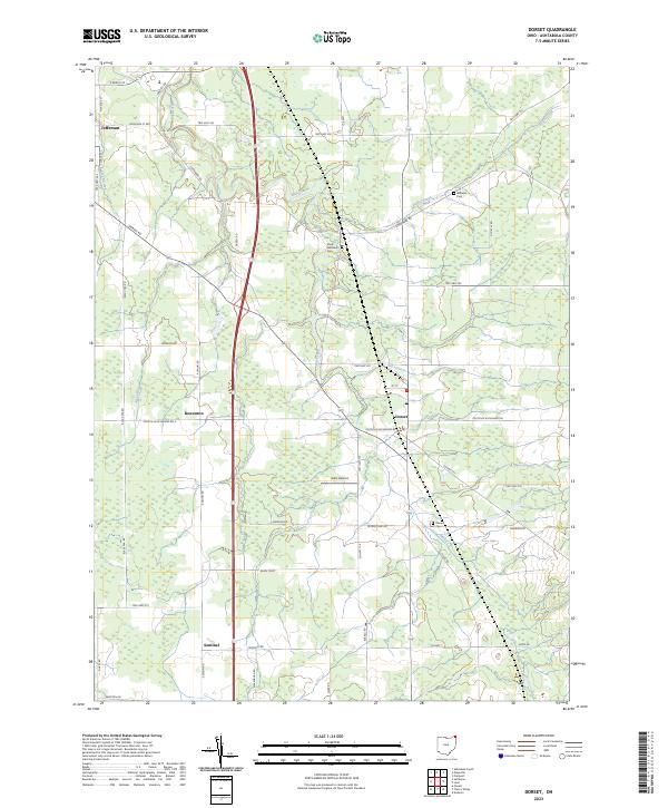
2023 Dorset
Ashtabula County, OH
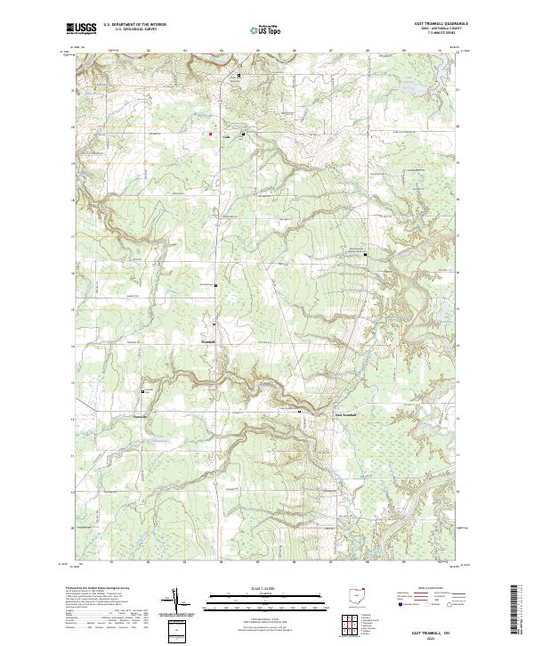
2023 East Trumbull
Ashtabula County, OH
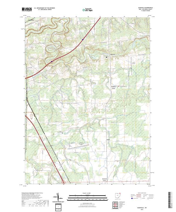
2023 Gageville
Ashtabula County, OH
2023 Geneva OE N
Ashtabula County, OH
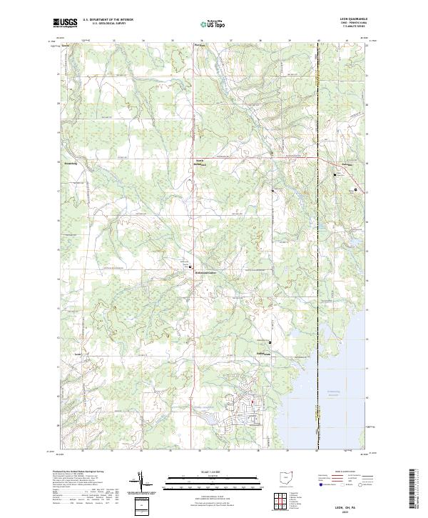
2023 Leon
Ashtabula County, OH
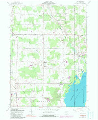
2023 Pierpont
Ashtabula County, OH
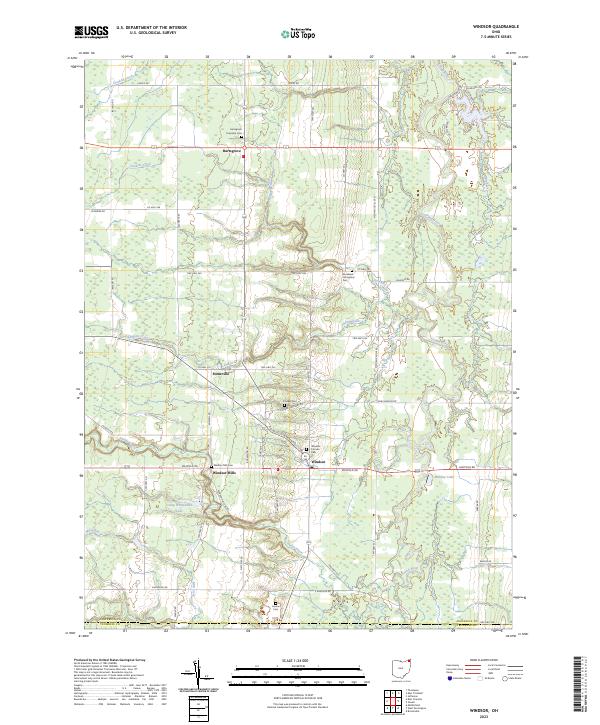
2023 Windsor
Ashtabula County, OH
Featured Locations
- Pierpont Township, OH
- Kingsville Township, OH
- Monroe Township, OH
- Conneaut Township, PA
- Pierpont, Pierpont Township