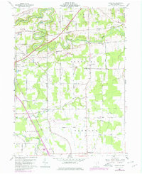
1960 Map of Gageville
USGS Topo · Published 1979About this map
The Ashtabula River winds through the heart of this landscape, its steep banks and the valley known simply as the Gulf defining the local geography as it was recorded in 1960. Rural settlements like Gageville and Sheffield Center serve as anchors for a network of country roads named for early families, such as Benetka Road and Lillie Road. The map captures a transitional infrastructure, featuring several instances of a Covered Bridge still in use over the river's bends, alongside modern additions like the Ashtabula County Airport and a Microwave Tower. Genealogists will find particular value in the clearly marked Gageville Cem and local landmarks like St Andrews Ch. The presence of both the Conrail and N & W rail lines illustrates the enduring importance of transportation corridors through Plymouth and Denmark Center during the mid-twentieth century.
Find a feature on this map
65 named features on this map. Tap any name to fly to it.
Don’t see what you’re looking for? This feature index may not catch every label — zoom into the map to look around manually.
Map Details
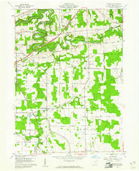
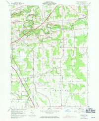
Editions of this 1960 Gageville Map
Other maps of this area

1905 · Andover
USGS Topo · 1:48,000

1905 · Ashtabula
USGS Topo · 1:62,500

1905 · Jefferson
USGS Topo · 1:62,500

1906 · Conneaut
USGS Topo · 1:62,500

1907 · Andover
USGS Topo · 1:62,500

1907 · Jefferson
USGS Topo · 1:62,500

1950 · Cleveland
USGS Topo · 1:250,000

1956 · Cleveland
USGS Topo · 1:250,000

1959 · Dorset
USGS Topo · 1:24,000
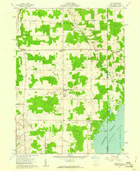
1959 · Leon
USGS Topo · 1:24,000
Featured Places
- Jefferson Township, OH
- Plymouth, OH
- Plymouth Township, OH
- Kingsville Township, OH
- Ashtabula Township, OH