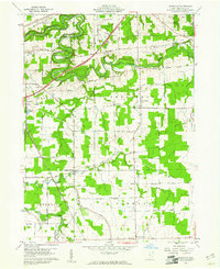
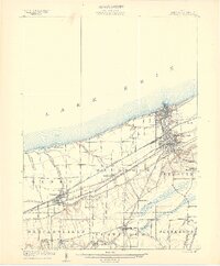
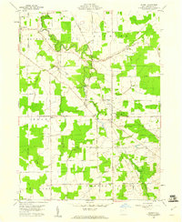
1960 Map of Gageville
USGS Topo · Published 1961About this map
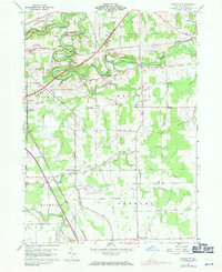
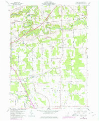
The Ashtabula River winds through the northern portion of this landscape, its steep banks punctuated by engineering and transport landmarks like the Covered Bridge and the N Y C & ST L rail line. Agricultural and rural life in the early 1960s is defined by a network of family-named roads, including Buie Road and Dibble Road, connecting small community hubs such as Gageville and Sheffield Center. Evidence of the region's energy and mineral extraction is visible through scattered Gas Wells and several Gravel Pits north of Plymouth. For those tracing local heritage, the map identifies specific community anchors like the Gageville Cem and St Andrews Ch, while the New York Central tracks cut a straight path through the southern townships near Denmark Center.
Find a feature on this map
58 named features on this map. Tap any name to fly to it.
Don’t see what you’re looking for? This feature index may not catch every label — zoom into the map to look around manually.
Map Details
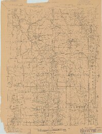
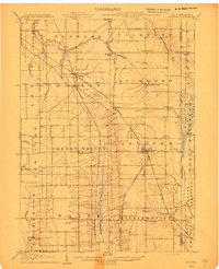
Editions of this 1960 Gageville Map
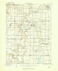
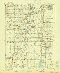
Other maps of this area
1905 · Andover
USGS Topo · 1:48,000
1905 · Ashtabula
USGS Topo · 1:62,500
1905 · Jefferson
USGS Topo · 1:62,500

1906 · Conneaut
USGS Topo · 1:62,500
1907 · Andover
USGS Topo · 1:62,500
1907 · Jefferson
USGS Topo · 1:62,500

1950 · Cleveland
USGS Topo · 1:250,000

1956 · Cleveland
USGS Topo · 1:250,000
1959 · Dorset
USGS Topo · 1:24,000
1959 · Leon
USGS Topo · 1:24,000
Featured Places
- Jefferson Township, OH
- Plymouth, Plymouth Township
- Plymouth Township, OH
- Kingsville Township, OH
- Ashtabula Township, OH