
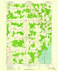
1959 Map of Dorset
USGS Topo · Published 1960About this map
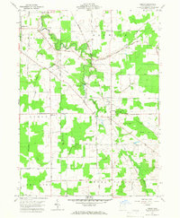
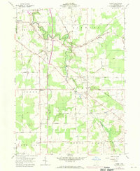
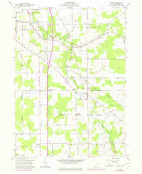
Dorset sits at the heart of this late-1950s survey of eastern Ashtabula County, part of the original Connecticut Western Reserve. The landscape is defined by the headwaters of Mill Creek and Pymatuning Creek, which cut through a grid of townships including Jefferson, Denmark, Lenox, and Cherry Valley. This era shows a rural landscape where small settlements like Rowenton and Sentinel remain connected by an extensive network of local roads such as Footville Richmond Road and South Denmark Road. Family history is anchored in local burial grounds like Dorset Cem and Williams Cem, providing specific geographic markers for genealogists. The map preserves the 1950s alignment of the New York Central Road corridor, reflecting the transit patterns and agricultural divisions of the mid-century Midwest.
Find a feature on this map
32 named features on this map. Tap any name to fly to it.
Don’t see what you’re looking for? This feature index may not catch every label — zoom into the map to look around manually.
Map Details
Editions of this 1959 Dorset Map
4 editions found
Other maps of this area

1905 · Andover
USGS Topo · 1:48,000

1905 · Ashtabula
USGS Topo · 1:62,500

1905 · Jefferson
USGS Topo · 1:62,500

1906 · Conneaut
USGS Topo · 1:62,500

1907 · Andover
USGS Topo · 1:62,500

1907 · Jefferson
USGS Topo · 1:62,500

1950 · Cleveland
USGS Topo · 1:250,000

1956 · Cleveland
USGS Topo · 1:250,000
1959 · Andover
USGS Topo · 1:24,000
1959 · Leon
USGS Topo · 1:24,000