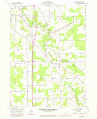
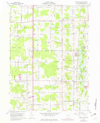
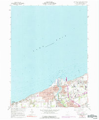
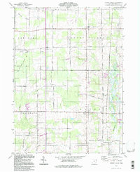
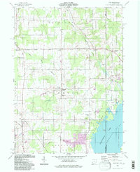
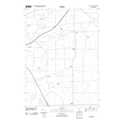
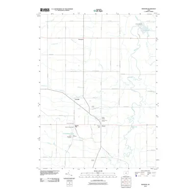
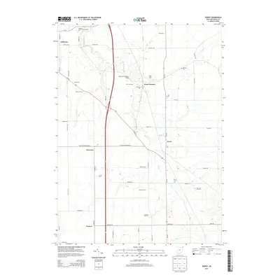
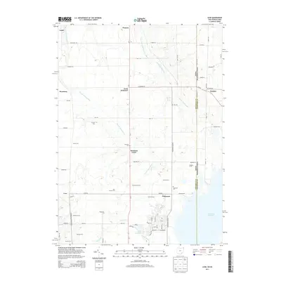
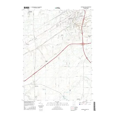
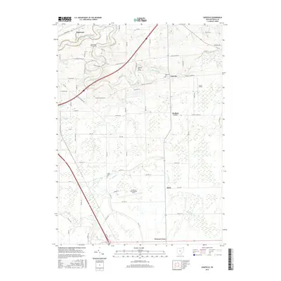
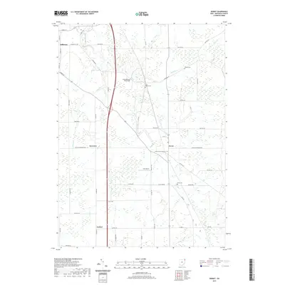
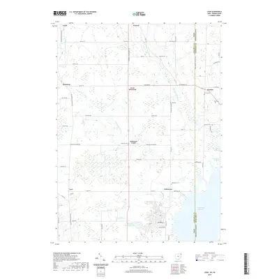
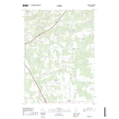
1959 Map of Dorset
USGS Topo · Published 1979About this map
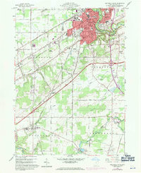
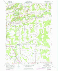
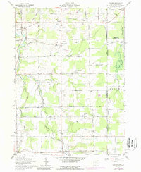
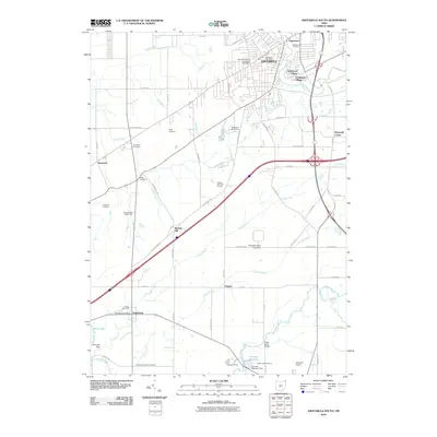
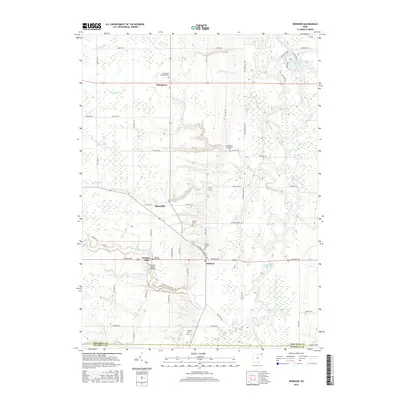
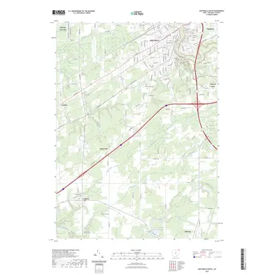
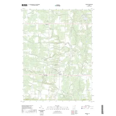
Dorset serves as a central hub in this survey of Ashtabula County, where a grid of rural roads connects several townships, including Jefferson, Denmark, and Lenox. The landscape is defined by its agricultural layout and the transit corridors of the Conrail line and an Old Railroad Grade that cut diagonally across the terrain. Small settlements like Rowenton and Sentinel mark the intersections of long-established country roads such as Footville - Richmond Road and Webster Road.
Find a feature on this map
39 named features on this map. Tap any name to fly to it.
Don’t see what you’re looking for? This feature index may not catch every label — zoom into the map to look around manually.
Map Details
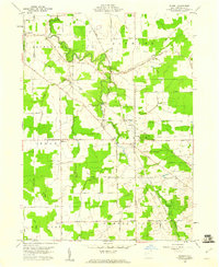
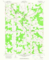
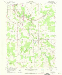
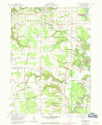
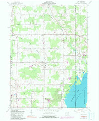
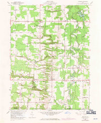
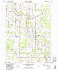
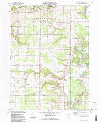
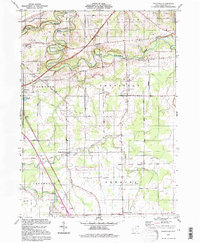
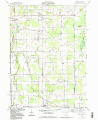
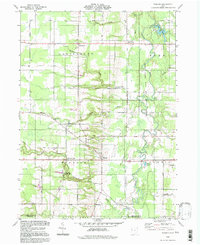
Editions of this 1959 Dorset Map
4 editions found
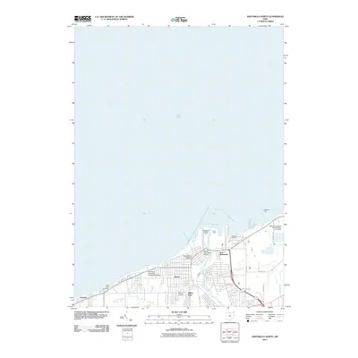
Historical Maps of Jefferson Township Through Time
66 maps found
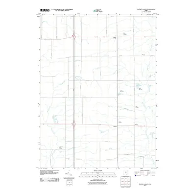
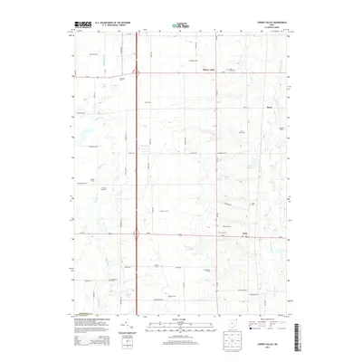
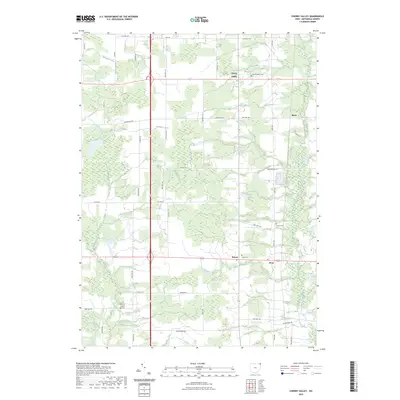
1959 Cherry Valley
Ashtabula County, OH
1959 Dorset
Ashtabula County, OH
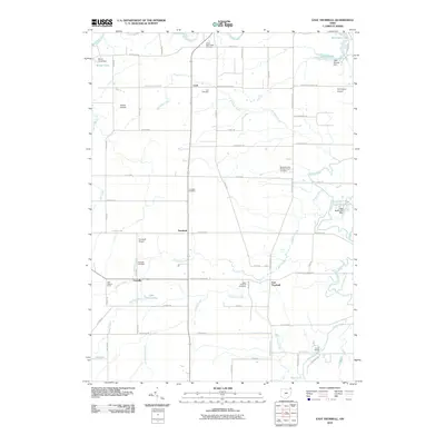
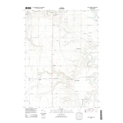
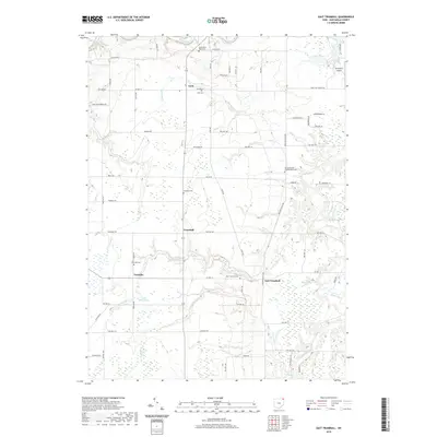
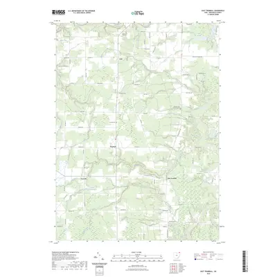
1959 East Trumbull
Ashtabula County, OH
1959 Leon
Ashtabula County, OH
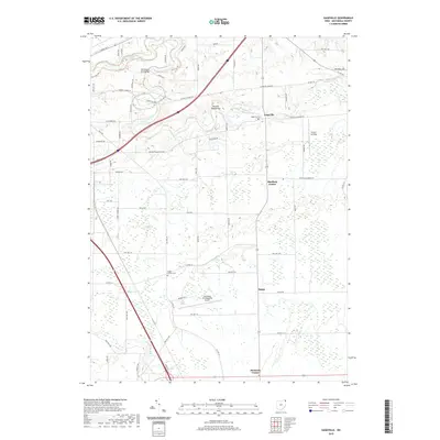
1959 Windsor
Ashtabula County, OH
1960 Ashtabula North
Ashtabula County, OH
1960 Ashtabula South
Ashtabula County, OH
1960 Gageville
Ashtabula County, OH
1960 Pierpont
Ashtabula County, OH
1994 Cherry Valley
Ashtabula County, OH
1994 Dorset
Ashtabula County, OH
1994 East Trumbull
Ashtabula County, OH
1994 Gageville
Ashtabula County, OH
1994 Leon
Ashtabula County, OH
1994 Pierpont
Ashtabula County, OH
1994 Windsor
Ashtabula County, OH
2010 Ashtabula North
Ashtabula County, OH
2010 Ashtabula South
Ashtabula County, OH
2010 Cherry Valley
Ashtabula County, OH
2010 Dorset
Ashtabula County, OH
2010 East Trumbull
Ashtabula County, OH
2010 Gageville
Ashtabula County, OH
2010 Geneva OE N
Ashtabula County, OH
2010 Leon
Ashtabula County, OH
2010 Pierpont
Ashtabula County, OH
2010 Windsor
Ashtabula County, OH
2013 Ashtabula North
Ashtabula County, OH
2013 Ashtabula South
Ashtabula County, OH
2013 Cherry Valley
Ashtabula County, OH
2013 Dorset
Ashtabula County, OH
2013 East Trumbull
Ashtabula County, OH
2013 Gageville
Ashtabula County, OH
2013 Geneva OE N
Ashtabula County, OH
2013 Leon
Ashtabula County, OH
2013 Pierpont
Ashtabula County, OH
2013 Windsor
Ashtabula County, OH
2016 Ashtabula North
Ashtabula County, OH
2016 Ashtabula South
Ashtabula County, OH
2016 Cherry Valley
Ashtabula County, OH
2016 Dorset
Ashtabula County, OH
2016 East Trumbull
Ashtabula County, OH
2016 Gageville
Ashtabula County, OH
2016 Geneva OE N
Ashtabula County, OH
2016 Leon
Ashtabula County, OH
2016 Pierpont
Ashtabula County, OH
2016 Windsor
Ashtabula County, OH
2019 Ashtabula North
Ashtabula County, OH
2019 Ashtabula South
Ashtabula County, OH
2019 Cherry Valley
Ashtabula County, OH
2019 Dorset
Ashtabula County, OH
2019 East Trumbull
Ashtabula County, OH
2019 Gageville
Ashtabula County, OH
2019 Geneva OE N
Ashtabula County, OH
2019 Leon
Ashtabula County, OH
2019 Pierpont
Ashtabula County, OH
2019 Windsor
Ashtabula County, OH
2023 Ashtabula North
Ashtabula County, OH
2023 Ashtabula South
Ashtabula County, OH
2023 Cherry Valley
Ashtabula County, OH
2023 Dorset
Ashtabula County, OH
2023 East Trumbull
Ashtabula County, OH
2023 Gageville
Ashtabula County, OH
2023 Geneva OE N
Ashtabula County, OH
2023 Leon
Ashtabula County, OH
2023 Pierpont
Ashtabula County, OH
2023 Windsor
Ashtabula County, OH