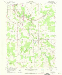
1959 Map of Dorset
USGS Topo · Published 1971About this map
Dorset serves as a central hub in this section of Ashtabula County, where the Penn Central tracks bisect the township amidst a landscape defined by small watercourses and agricultural grids. The settlement of Rowenton sits further west, while Sentinel marks the southern reach of the survey. The terrain is notably etched by Mill Creek and Pymatuning Creek, with several family and township burial grounds, such as Williams Cem and South Denmark Cem, providing anchor points for genealogical study.
Find a feature on this map
43 named features on this map. Tap any name to fly to it.
Don’t see what you’re looking for? This feature index may not catch every label — zoom into the map to look around manually.
Map Details
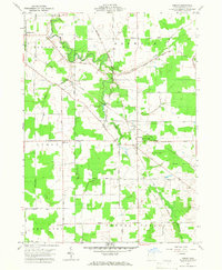
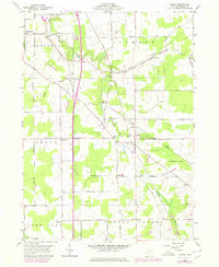
Editions of this 1959 Dorset Map
4 editions found
Other maps of this area

1905 · Andover
USGS Topo · 1:48,000

1905 · Ashtabula
USGS Topo · 1:62,500

1905 · Jefferson
USGS Topo · 1:62,500

1906 · Conneaut
USGS Topo · 1:62,500

1907 · Andover
USGS Topo · 1:62,500

1907 · Jefferson
USGS Topo · 1:62,500

1950 · Cleveland
USGS Topo · 1:250,000

1956 · Cleveland
USGS Topo · 1:250,000

1959 · Dorset
USGS Topo · 1:24,000
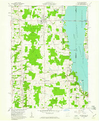
1959 · Andover
USGS Topo · 1:24,000