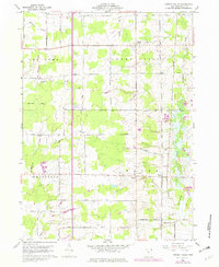
1959 Map of Cherry Valley
USGS Topo · Published 1979About this map
Agricultural patterns and family-named roads define this portion of Ashtabula County, surveyed in the late 1950s. The landscape is organized by a grid of rural thoroughfares, including Sodom Road, Cream Ridge Road, and Dodgeville Road, connecting small clusters of settlement such as Cherry Valley and Wick. The Conrail line cuts through the eastern portion of the territory, following the drainage of Pymatuning Creek.
Find a feature on this map
41 named features on this map. Tap any name to fly to it.
Don’t see what you’re looking for? This feature index may not catch every label — zoom into the map to look around manually.
Map Details
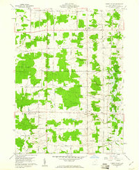
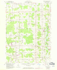
Editions of this 1959 Cherry Valley Map
3 editions found
Other maps of this area

1905 · Andover
USGS Topo · 1:48,000

1905 · Bristolville
USGS Topo · 1:62,500

1905 · Jefferson
USGS Topo · 1:62,500

1907 · Andover
USGS Topo · 1:62,500

1907 · Kinsman
USGS Topo · 1:62,500

1907 · Bristolville
USGS Topo · 1:62,500

1907 · Jefferson
USGS Topo · 1:62,500

1950 · Cleveland
USGS Topo · 1:250,000

1956 · Cleveland
USGS Topo · 1:250,000

1959 · Dorset
USGS Topo · 1:24,000