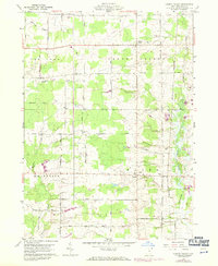
1959 Map of Cherry Valley
USGS Topo · Published 1971About this map
The agrarian landscape of Ashtabula County is meticulously documented here, anchored by the crossroads of Cherry Valley. The map reveals a highly structured grid of family-named roads such as Babcock Road, Troutman Road, and Sodom Road, which hint at the settlement patterns and local lineage of the mid-20th century. While most of the area is defined by the headwaters of Pymatuning Creek and Mosquito Creek, the presence of the Penn Central rail line cutting through the eastern corridor highlights the connection between these rural townships and wider industrial markets. Small community clusters at Wick and Wayne are marked by significant local landmarks, including the Center Cem and Hayes Cem, providing essential points of reference for genealogists tracing ancestors in the New Lyme or Cherry Valley districts. A single Gravel Pit along the railroad line serves as a rare indicator of local resource extraction in an otherwise largely agricultural and forested region.
Find a feature on this map
39 named features on this map. Tap any name to fly to it.
Don’t see what you’re looking for? This feature index may not catch every label — zoom into the map to look around manually.
Map Details
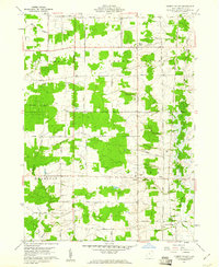
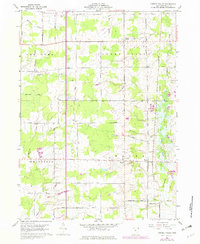
Editions of this 1959 Cherry Valley Map
3 editions found
Other maps of this area

1905 · Andover
USGS Topo · 1:48,000

1905 · Bristolville
USGS Topo · 1:62,500

1905 · Jefferson
USGS Topo · 1:62,500

1907 · Andover
USGS Topo · 1:62,500

1907 · Kinsman
USGS Topo · 1:62,500

1907 · Bristolville
USGS Topo · 1:62,500

1907 · Jefferson
USGS Topo · 1:62,500

1950 · Cleveland
USGS Topo · 1:250,000

1956 · Cleveland
USGS Topo · 1:250,000

1959 · Dorset
USGS Topo · 1:24,000