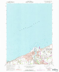
1960 Map of Ashtabula North
USGS Topo · Published 1991About this map
Ashtabula River flows into Lake Erie, carving a deep industrial and maritime corridor through the heart of the city. During the mid-century era, this stretch of the Ohio shoreline was a hub of transit and production, centered on the extensive rail yards of the Penn Central and the active waterfront at the Harbor. The map documents a densely developed landscape of neighborhood institutions, including St Josephs Cem, St Johns High Sch, and Mother of Sorrows Sch, reflecting a vibrant community life adjacent to the docks and mills.
Find a feature on this map
59 named features on this map. Tap any name to fly to it.
Don’t see what you’re looking for? This feature index may not catch every label — zoom into the map to look around manually.
Map Details
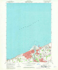
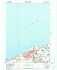
Editions of this 1960 Ashtabula North Map
4 editions found
Other maps of this area

1905 · Ashtabula
USGS Topo · 1:62,500

1906 · Conneaut
USGS Topo · 1:62,500

1950 · Cleveland
USGS Topo · 1:250,000

1950 · Erie
USGS Topo · 1:250,000

1956 · Cleveland
USGS Topo · 1:250,000

1959 · Erie
USGS Topo · 1:250,000
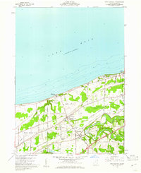
1960 · North Kingsville
USGS Topo · 1:24,000
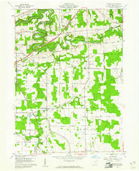
1960 · Gageville
USGS Topo · 1:24,000

1960 · Ashtabula South
USGS Topo · 1:24,000
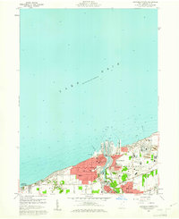
1960 · Ashtabula North
USGS Topo · 1:24,000