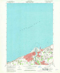
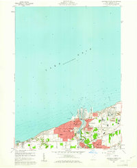
1960 Map of Ashtabula North
USGS Topo · Published 1970About this map
Ashtabula Harbor serves as the industrial heart of this Lake Erie shoreline during the mid-20th century, where the Ashtabula River meets the lake. The map details a landscape transition from the heavy industrial infrastructure of the Penn Central rail lines and lakeside drydocks to the residential communities of Saybrook and Edgewood. A dense concentration of parochial and public education centers, such as Mother of Sorrows Sch, St Josephs Sch, and Columbus Sch, reflects the robust social fabric of Ashtabula at this time. Recreational spaces like Walnut Beach Park and Lake Shore Park offer a contrast to the nearby utility of the Waterworks and Sewage Disposal facilities, documenting the city's dual role as a commercial port and a permanent lakeside home.
Find a feature on this map
36 named features on this map. Tap any name to fly to it.
Don’t see what you’re looking for? This feature index may not catch every label — zoom into the map to look around manually.
Map Details
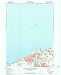
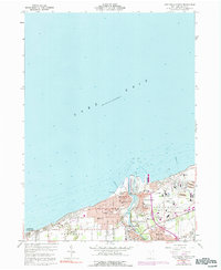
Editions of this 1960 Ashtabula North Map
4 editions found
Other maps of this area

1905 · Ashtabula
USGS Topo · 1:62,500

1906 · Conneaut
USGS Topo · 1:62,500

1950 · Cleveland
USGS Topo · 1:250,000

1950 · Erie
USGS Topo · 1:250,000

1956 · Cleveland
USGS Topo · 1:250,000

1959 · Erie
USGS Topo · 1:250,000
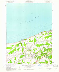
1960 · North Kingsville
USGS Topo · 1:24,000
1960 · Gageville
USGS Topo · 1:24,000

1960 · Ashtabula South
USGS Topo · 1:24,000
1960 · Ashtabula North
USGS Topo · 1:24,000