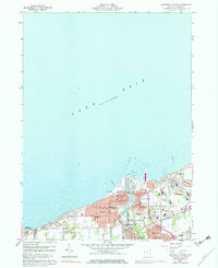
1960 Map of Ashtabula North
USGS Topo · Published 1983About this map
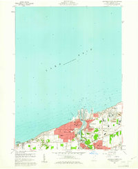
The industrial and maritime activity of Ashtabula centers on the mouth of the Ashtabula River, where the Union Dock, a Drydock, and a prominent Power Plant line the waterfront. The 1960s landscape shows a city deeply integrated with the Penn Central rail infrastructure, serving the massive Tailings Pond and chemical facilities on the eastern side of the river.
Find a feature on this map
69 named features on this map. Tap any name to fly to it.
Don’t see what you’re looking for? This feature index may not catch every label — zoom into the map to look around manually.
Map Details
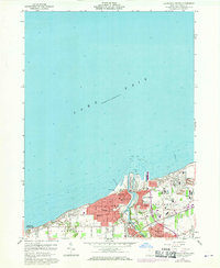
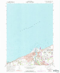
Editions of this 1960 Ashtabula North Map
4 editions found
Other maps of this area

1905 · Ashtabula
USGS Topo · 1:62,500

1906 · Conneaut
USGS Topo · 1:62,500

1950 · Cleveland
USGS Topo · 1:250,000

1950 · Erie
USGS Topo · 1:250,000

1956 · Cleveland
USGS Topo · 1:250,000

1959 · Erie
USGS Topo · 1:250,000
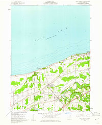
1960 · North Kingsville
USGS Topo · 1:24,000
1960 · Gageville
USGS Topo · 1:24,000

1960 · Ashtabula South
USGS Topo · 1:24,000
1960 · Ashtabula North
USGS Topo · 1:24,000