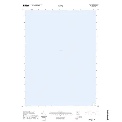
2023 Map of Geneva OE N
USGS Topo · Published 2023About this map
Lake Erie dominates the landscape of this Lake County shoreline sheet, where the vast open waters of the Great Lakes meet the northeastern Ohio coast. The map is defined by the open expanse of the lake, punctuated only by a small settlement area at the bottom right corner. The shoreline community of Saybrook-on-the-lake provides a specific point of reference for researchers and local residents, showing the contemporary interface between the residential lakefront and the massive water body. As a modern survey, it serves as a precise baseline for shoreline positions and current settlement patterns in this specific corner of Ashtabula County.
Find a feature on this map
2 named features on this map. Tap any name to fly to it.
Don’t see what you’re looking for? This feature index may not catch every label — zoom into the map to look around manually.
Map Details
Editions of this 2023 Geneva OE N Map
This is the sole edition of this map. No revisions or reprints were ever made.
Other maps of this area

1905 · Ashtabula
USGS Topo · 1:62,500

1905 · Perry
USGS Topo · 1:62,500

1950 · Cleveland
USGS Topo · 1:250,000

1950 · Erie
USGS Topo · 1:250,000

1956 · Cleveland
USGS Topo · 1:250,000

1959 · Erie
USGS Topo · 1:250,000

1960 · Ashtabula South
USGS Topo · 1:24,000
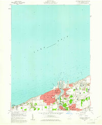
1960 · Ashtabula North
USGS Topo · 1:24,000
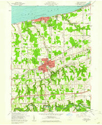
1960 · Geneva
USGS Topo · 1:24,000
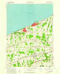
1960 · Madison
USGS Topo · 1:24,000