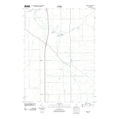
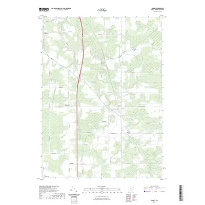
1959 Map of Leon
USGS Topo · Published 1990About this map
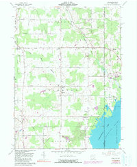
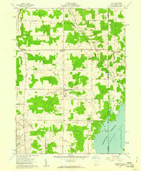
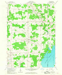
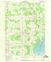
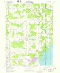
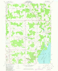
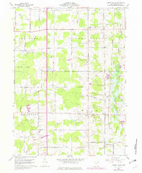
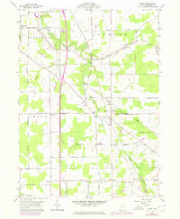
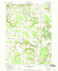
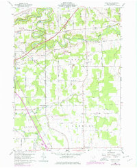
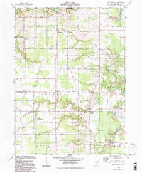
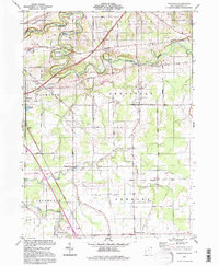
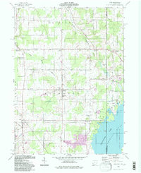
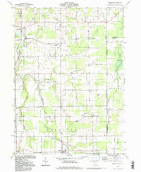
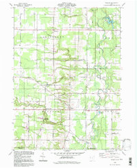
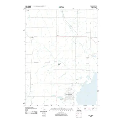
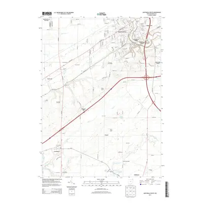
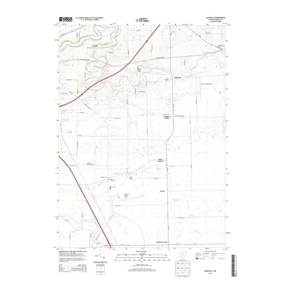
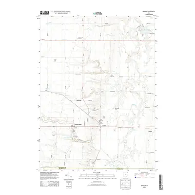
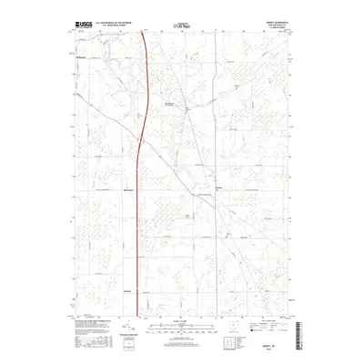
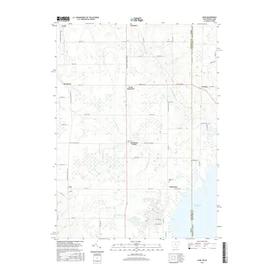
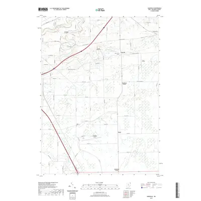
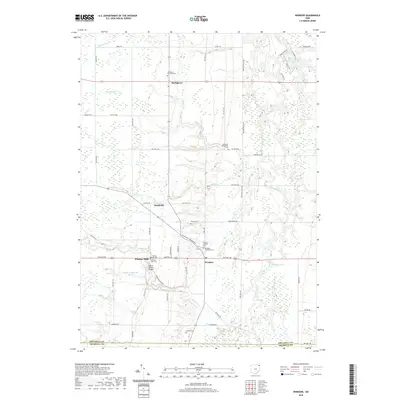
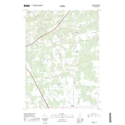
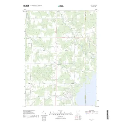
Pymatuning Lake and the Pymatuning State Park dominate the southeastern landscape of this map, reflecting the area's mid-century development as a regional recreational hub. The boundary between Ohio and Pennsylvania runs through the water and the small settlement of Pennline, where researchers can find the Pennline Ch and a nearby bench mark. The surrounding terrain is defined by the headwaters of the East Branch Ashtabula River and West Branch Ashtabula River, which weave through a network of rural townships including Pierpont, Richmond, and Dorset. Local history is preserved in small clusters like Richmond Center, which features the Richmond Sch and Richmond Cem. Further south, the settlement of Leon and the landing at Padanaram show the intersection of local roads and the Conrail rail line, capturing the steady agricultural character of Ashtabula County.
Find a feature on this map
47 named features on this map. Tap any name to fly to it.
Don’t see what you’re looking for? This feature index may not catch every label — zoom into the map to look around manually.
Map Details
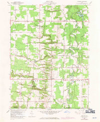
Editions of this 1959 Leon Map
6 editions found
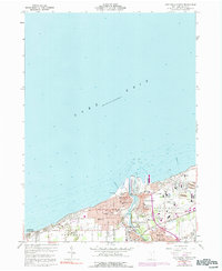
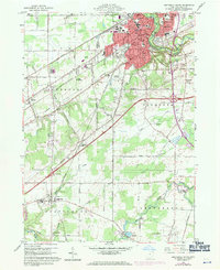
Historical Maps of Pymatuning Central Through Time
66 maps found
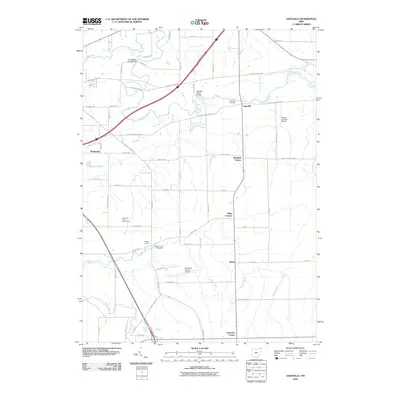
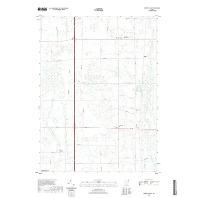
1959 Cherry Valley
Ashtabula County, OH
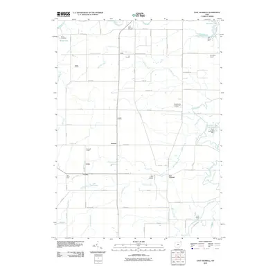
1959 Dorset
Ashtabula County, OH
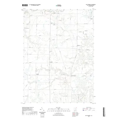
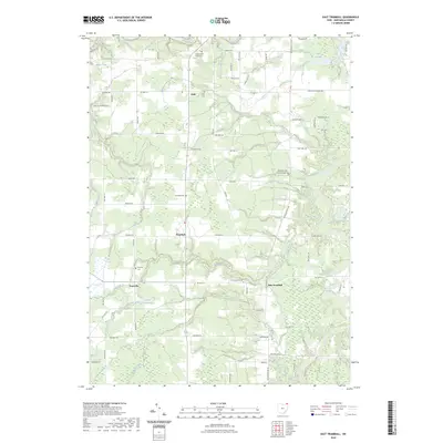
1959 East Trumbull
Ashtabula County, OH
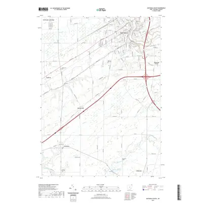
1959 Leon
Ashtabula County, OH
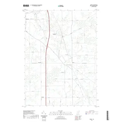
1959 Windsor
Ashtabula County, OH
1960 Ashtabula North
Ashtabula County, OH
1960 Ashtabula South
Ashtabula County, OH
1960 Gageville
Ashtabula County, OH
1960 Pierpont
Ashtabula County, OH
1994 Cherry Valley
Ashtabula County, OH
1994 Dorset
Ashtabula County, OH
1994 East Trumbull
Ashtabula County, OH
1994 Gageville
Ashtabula County, OH
1994 Leon
Ashtabula County, OH
1994 Pierpont
Ashtabula County, OH
1994 Windsor
Ashtabula County, OH
2010 Ashtabula North
Ashtabula County, OH
2010 Ashtabula South
Ashtabula County, OH
2010 Cherry Valley
Ashtabula County, OH
2010 Dorset
Ashtabula County, OH
2010 East Trumbull
Ashtabula County, OH
2010 Gageville
Ashtabula County, OH
2010 Geneva OE N
Ashtabula County, OH
2010 Leon
Ashtabula County, OH
2010 Pierpont
Ashtabula County, OH
2010 Windsor
Ashtabula County, OH
2013 Ashtabula North
Ashtabula County, OH
2013 Ashtabula South
Ashtabula County, OH
2013 Cherry Valley
Ashtabula County, OH
2013 Dorset
Ashtabula County, OH
2013 East Trumbull
Ashtabula County, OH
2013 Gageville
Ashtabula County, OH
2013 Geneva OE N
Ashtabula County, OH
2013 Leon
Ashtabula County, OH
2013 Pierpont
Ashtabula County, OH
2013 Windsor
Ashtabula County, OH
2016 Ashtabula North
Ashtabula County, OH
2016 Ashtabula South
Ashtabula County, OH
2016 Cherry Valley
Ashtabula County, OH
2016 Dorset
Ashtabula County, OH
2016 East Trumbull
Ashtabula County, OH
2016 Gageville
Ashtabula County, OH
2016 Geneva OE N
Ashtabula County, OH
2016 Leon
Ashtabula County, OH
2016 Pierpont
Ashtabula County, OH
2016 Windsor
Ashtabula County, OH
2019 Ashtabula North
Ashtabula County, OH
2019 Ashtabula South
Ashtabula County, OH
2019 Cherry Valley
Ashtabula County, OH
2019 Dorset
Ashtabula County, OH
2019 East Trumbull
Ashtabula County, OH
2019 Gageville
Ashtabula County, OH
2019 Geneva OE N
Ashtabula County, OH
2019 Leon
Ashtabula County, OH
2019 Pierpont
Ashtabula County, OH
2019 Windsor
Ashtabula County, OH
2023 Ashtabula North
Ashtabula County, OH
2023 Ashtabula South
Ashtabula County, OH
2023 Cherry Valley
Ashtabula County, OH
2023 Dorset
Ashtabula County, OH
2023 East Trumbull
Ashtabula County, OH
2023 Gageville
Ashtabula County, OH
2023 Geneva OE N
Ashtabula County, OH
2023 Leon
Ashtabula County, OH
2023 Pierpont
Ashtabula County, OH
2023 Windsor
Ashtabula County, OH
Featured Locations
- Pymatuning Central, PA
- Pierpont Township, OH
- Andover Township, OH
- North Richmond, Pierpont Township
- Leon, Richmond Township