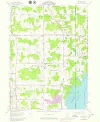
1959 Map of Leon
USGS Topo · Published 1979About this map
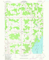
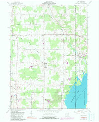
The East Branch Ashtabula River and West Branch Ashtabula River converge in this rural landscape along the Ohio and Pennsylvania border. During the late 1950s and through the 1970s revision, the area maintained a distinctly agrarian character, anchored by small crossroads such as North Richmond, Richmond Center, and Leon. The eastern edge of the map is dominated by the waters of the Pymatuning Reservoir and the Shenango River, reflecting the importance of water management and recreation at Pymatuning State Park. Local life is recorded through features like the Richmond Sch, Pennline Ch, and the Padanaram Cem, providing essential points of interest for genealogists. The transportation network includes the Conrail line and a grid of rural routes like Stanhope Kelloggsville Road, while a significant pipeline and several gravel operations indicate the local industrial footprint.
Find a feature on this map
41 named features on this map. Tap any name to fly to it.
Don’t see what you’re looking for? This feature index may not catch every label — zoom into the map to look around manually.
Map Details
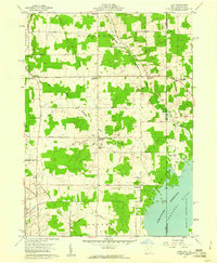
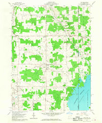
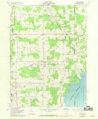
Editions of this 1959 Leon Map
6 editions found
Other maps of this area

1900 · Girard
USGS Topo · 1:62,500

1905 · Andover
USGS Topo · 1:48,000

1906 · Conneaut
USGS Topo · 1:62,500

1906 · Linesville
USGS Topo · 1:62,500

1907 · Andover
USGS Topo · 1:62,500

1908 · Linesville
USGS Topo · 1:62,500

1950 · Cleveland
USGS Topo · 1:250,000

1956 · Cleveland
USGS Topo · 1:250,000

1959 · Hartstown
USGS Topo · 1:24,000

1959 · Beaver Center
USGS Topo · 1:24,000