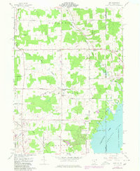
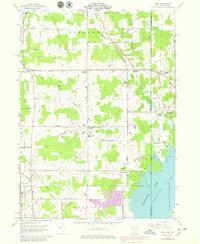
1959 Map of Leon
USGS Topo · Published 1980About this map
The Ohio Pennsylvania state line divides this 1959 landscape, where the waters of the North Shenango River meet the northern reaches of Pymatuning Lake. In the mid-20th century, this region remained a patchwork of woodlots and farms within the Connecticut Western Reserve, anchored by small crossroads such as Leon, Richmond Center, and Steamburg. To the east, Pymatuning State Park borders the water, where landmarks like the Dock and the settlement of Padan suggest the area's recreational development alongside older agricultural roots.
Find a feature on this map
48 named features on this map. Tap any name to fly to it.
Don’t see what you’re looking for? This feature index may not catch every label — zoom into the map to look around manually.
Map Details
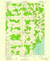
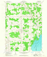
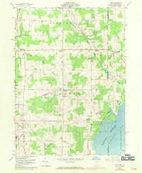
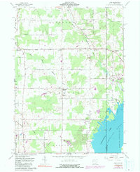
Editions of this 1959 Leon Map
6 editions found
Other maps of this area

1900 · Girard
USGS Topo · 1:62,500

1905 · Andover
USGS Topo · 1:48,000

1906 · Conneaut
USGS Topo · 1:62,500

1906 · Linesville
USGS Topo · 1:62,500

1907 · Andover
USGS Topo · 1:62,500

1908 · Linesville
USGS Topo · 1:62,500

1950 · Cleveland
USGS Topo · 1:250,000

1956 · Cleveland
USGS Topo · 1:250,000

1959 · Hartstown
USGS Topo · 1:24,000

1959 · Beaver Center
USGS Topo · 1:24,000