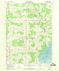
1959 Map of Leon
USGS Topo · Published 1971About this map
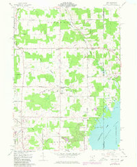
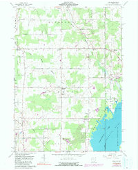
Ashtabula and Crawford counties meet along the state line in this mid-century survey, which reveals a landscape defined by small crossroads settlements and the spreading waters of the Pymatuning Reservoir. The agricultural character of Richmond and Pierpont townships is evident in the network of rural roads like Schrambling Road and Tower Road, connecting clusters of homes and civic life at Richmond Center and North Richmond. Local history is anchored at the Richmond Sch and the Padanaram Cem, while the Penn Central tracks and various Gravel Pits suggest the area's transport and industrial activities. To the east, the map details the inundation of the Shenango River valley within Pymatuning State Park, showing how the reservoir reshaped the borderlands near Padan and Espy.
Find a feature on this map
46 named features on this map. Tap any name to fly to it.
Don’t see what you’re looking for? This feature index may not catch every label — zoom into the map to look around manually.
Map Details
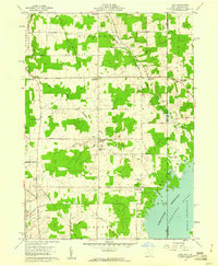
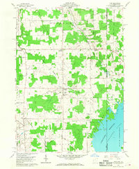
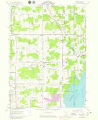
Editions of this 1959 Leon Map
6 editions found
Other maps of this area

1900 · Girard
USGS Topo · 1:62,500

1905 · Andover
USGS Topo · 1:48,000

1906 · Conneaut
USGS Topo · 1:62,500

1906 · Linesville
USGS Topo · 1:62,500

1907 · Andover
USGS Topo · 1:62,500

1908 · Linesville
USGS Topo · 1:62,500

1950 · Cleveland
USGS Topo · 1:250,000

1956 · Cleveland
USGS Topo · 1:250,000

1959 · Hartstown
USGS Topo · 1:24,000

1959 · Beaver Center
USGS Topo · 1:24,000