2020s Maps of Hayfield Township, Pennsylvania
Explore 6 historic maps of Hayfield Township from the 2020s. These maps offer a rare glimpse into what life looked like during the 2020s — showing old roads, neighborhoods, homes, and landmarks that have changed or disappeared over time.
Whether you're researching your family's past, planning a metal detecting trip, or studying how Hayfield Township's landscape evolved across the 2020s, these high-resolution maps are a powerful tool for exploring the history of this region.
- Focus on a specific era: All maps on this page are from the 2020s, giving you a focused view of this time period.
- See what’s changed: Compare century-old streets, trails, and buildings to today's modern landscape using overlays and satellite layers.
- Research with precision: Use these maps for genealogy, historical research, land use analysis, or educational projects.
- View, download, or print: Maps are fully viewable online in high resolution, and can be downloaded or printed for your own records.
Start exploring Hayfield Township's history through authentic maps from the 2020s. This is your window into the past.
Hayfield Township, PA maps
(6)- 2023 Map of Blooming Valley, 2023 Print
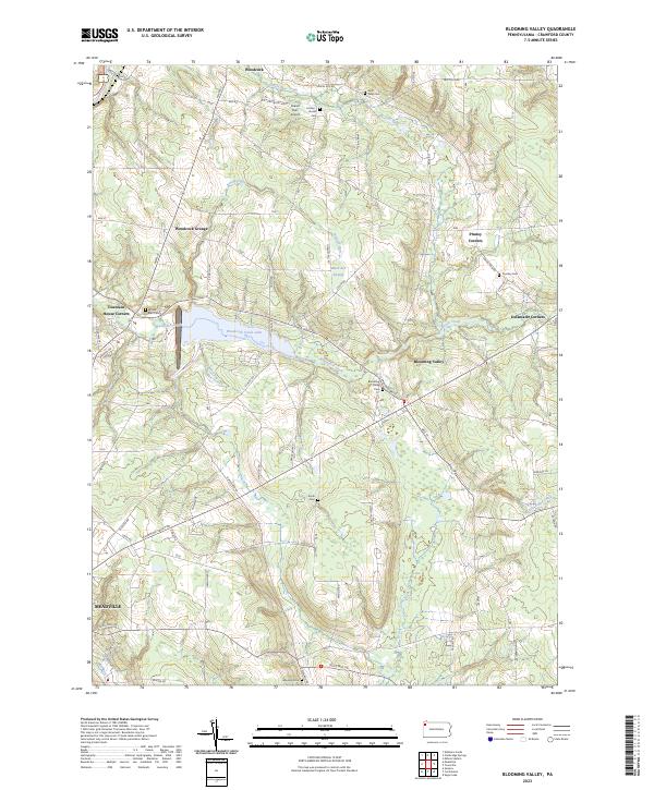 2023 Blooming Valley2023 Print · USGSCrawford County's rural landscape comes into focus in this contemporary survey of the area surrounding Blooming Valley. Researchers can trace family history through numerous burial sites like Wayland Cem or locate community landmarks such as Woodcock Grange.
 - 2023 Map of Cambridge Springs, 2023 Print
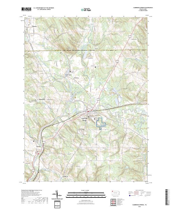 2023 Cambridge Springs2023 Print · USGSNorthwestern Pennsylvania's river valleys and rural crossroads are captured here in the twenty-first century as they continue to evolve. Researchers can trace the layout of longstanding communities like Cambridge Springs and Venango, or locate family sites at Skelton Town Cem and Gravel Run Cem.
 - 2023 Map of Edinboro South, 2023 Print
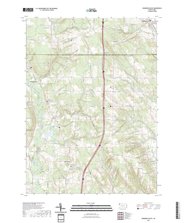 2023 Edinboro South2023 Print · USGSCrawford and Erie counties are shown here in modern detail, where the campus of Edinboro University of Pennsylvania meets the rural agricultural landscape. Genealogists can trace family plots across a dozen sites, including Saints Peter and Paul Orthodox Cem and Carmel - Freeman Cem.
 - 2023 Map of Conneautville, 2023 Print
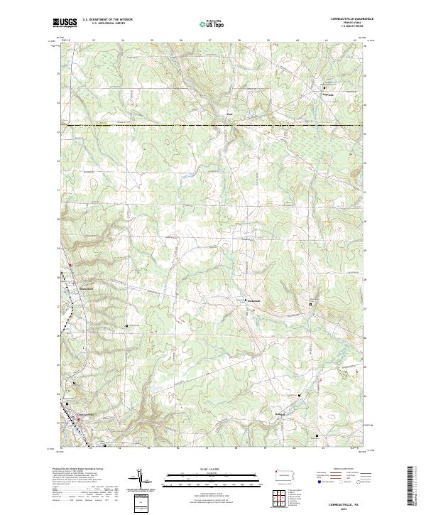 2023 Conneautville2023 Print · USGSCrawford County settlements and rural watercourses are documented here in the early 2020s. Genealogists can trace family landmarks across Conneautville and Springboro, including the Coblentz Cem and Rundell Cem.
 - 2023 Map of Meadville, 2023 Print
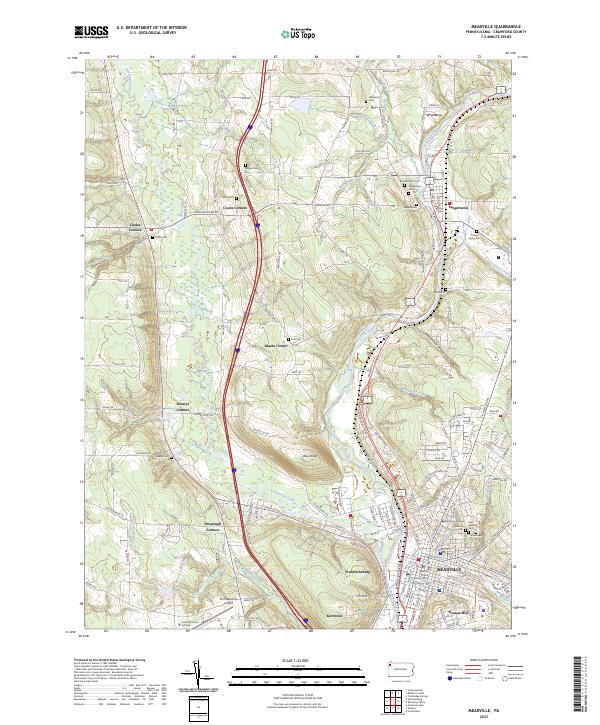 2023 Meadville2023 Print · USGSMeadville and the French Creek valley are captured in this modern survey of Crawford County. Genealogists can trace family names through sites like Greendale Cem and the historic campus of Allegheny College.
 - 2023 Map of Harmonsburg, 2023 Print
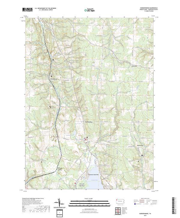 2023 Harmonsburg2023 Print · USGSCrawford County's landscape preserves the path of the Erie Extension Canal alongside rural villages like Harmonsburg. Genealogists can trace family heritage through numerous burial sites including Dicksonburg Cem and Johnston Cem near Watson Run.
End of results
Showing maps 1-6 of 6
Top cities near Hayfield Township
- Meadville historical maps
- Edinboro historical maps
- Cambridge Springs historical maps
- Spring Township historical maps
- Albion historical maps
- Cochranton historical maps
See more
Top neighborhoods of Hayfield Township
- Dennys Corners historical maps
- Littles Corners historical maps
- Blacks Corner historical maps
- Coons Corners historical maps
- Norrisville historical maps
Frequently asked questions
- What are the different types of historical maps available for Hayfield Township?
- What is the oldest map of Hayfield Township?
- Where can I purchase historical maps of Hayfield Township for my home or office?
- Where can I download high-res historical maps of Hayfield Township?
- Are there historical topographic maps available for Hayfield Township?
- Is there historical aerial imagery available for Hayfield Township?
- Where are historical maps of Hayfield Township sourced from?