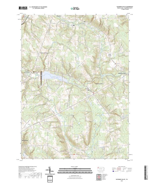
2023 Map of Blooming Valley
USGS Topo · Published 2023About this map
Blooming Valley sits at the heart of this Crawford County landscape, where the waters of Woodcock Creek meet the significant impoundment of Woodcock Creek Lake. This modern survey illustrates a topography defined by established rural crossroads and small-scale infrastructure, such as the Gravel Run Airport and the gathering place at Woodcock Grange. The map is particularly useful for genealogical research, documenting numerous burial grounds including Swift Lang Cem, Coulter-Humes Cem, and Townley Cem. These sites, along with small settlements like Pinney Corners and Delamater Corners, suggest a long-standing pattern of dispersed agricultural communities. The terrain transitions from the lowlands of Black Ash Swamp to the edges of Meadville in the southwest, reflecting the persistent rural character of the region surrounding the creek valley.
Find a feature on this map
71 named features on this map. Tap any name to fly to it.
Don’t see what you’re looking for? This feature index may not catch every label — zoom into the map to look around manually.
Map Details
Editions of this 2023 Blooming Valley Map
This is the sole edition of this map. No revisions or reprints were ever made.
Other maps of this area

1923 · Meadville
USGS Topo · 1:62,500

1923 · Cambridge Springs
USGS Topo · 1:62,500

1925 · Meadville
USGS Topo · 1:62,500

1925 · Cambridge Springs
USGS Topo · 1:62,500

1927 · Townville
USGS Topo · 1:48,000

1929 · Union City
USGS Topo · 1:62,500

1932 · Townville
USGS Topo · 1:62,500

1932 · Union City
USGS Topo · 1:62,500

1943 · Meadville
USGS Topo · 1:62,500

1943 · Cambridge Springs
USGS Topo · 1:62,500