Old Maps of Conneautville Station, Pennsylvania for Academic Research
Study the evolution of Conneautville Station with 11 high-resolution historic maps. Whether you're teaching, researching, or modeling changes in land use, these maps provide essential visual documentation of urban, environmental, and geographic change.
- Analyze long-term change: Track patterns in development, transportation, and natural features.
- Ideal for environmental or urban studies: Support academic projects with primary historical map data.
- Use in the classroom or lab: Educators and researchers rely on these maps to bring historical context to life.
These maps are a powerful tool for teaching, research, and visualizing how Conneautville Station has changed over the decades.
Conneautville Station, PA maps
(11)- 1900 Map of Girard
 1900 Girard1900 Print · USGSNorthwestern Pennsylvania at the dawn of the twentieth century was a vital rail corridor defined by the shoreline of Lake Erie. You can trace the path of historic rail lines through Thornton Junction and locate vanished local landmarks like Lundys Lane and Paperville.5 unique versions available
 - 1950 Map of Cleveland
 1950 Cleveland1950 Print · USGSCovers Conneautville Station, including Cleveland, Akron, and other nearby areas
 - 1956 Map of Cleveland, 1967 Print
 1956 Cleveland1967 Print · USGSNortheast Ohio and Western Pennsylvania are shown at their industrial height during the mid-fifties, from the steel mills to the lakeshore. Researchers can trace the massive Ravenna Arsenal, the Ohio Turnpike, and vanished rail sidings of the B & O RR.3 unique versions available
 - 1959 Map of Beaver Center, 1960 Print
 1959 Beaver Center1960 Print · USGSIn the rural hills of Crawford County during the late fifties, the landscape is defined by the winding Conneaut Creek and a network of small rail towns. You can trace family roots through White Cem or locate the old Drive-in Theater and the historic Shadeland station.4 unique versions available
 - 1962 Map of Cleveland
 1962 Cleveland1962 Print · USGSNortheast Ohio and the Pennsylvania borderlands appear here during the industrial peak of the early sixties. Genealogists and historians can trace the expansive rail lines of the Nickel Plate Road and the growth of suburbs from Parma to Lyndhurst.
 - 1986 Map of Ashtabula
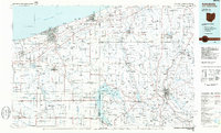 1986 Ashtabula1986 Print · USGSThe Lake Erie shoreline and the rural borderlands of Ohio and Pennsylvania are captured here as they appeared in the 1980s. You can trace industrial rail lines like the BESSEMER AND LAKE ERIE or locate family sites near Kelloggsville Cem and Pymatuning State Park.2 unique versions available
 - 2010 Map of Beaver Center, 2010 Print
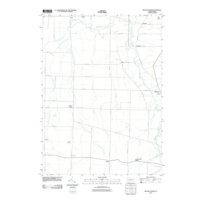 2010 Beaver Center2010 Print · USGSNorthwestern Pennsylvania's rural landscape is defined by the three branches of Conneaut Creek in this 2010 survey. Genealogists and researchers can trace family landmarks at Brooks Cemetery or White Cemetery and explore aviation sites like Freeman Airport.
 - 2013 Map of Beaver Center, 2013 Print
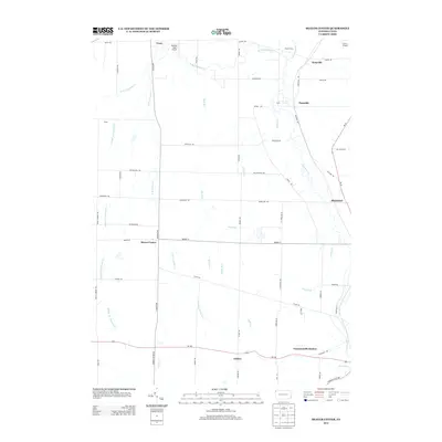 2013 Beaver Center2013 Print · USGSWestern Pennsylvania’s rural landscape comes alive in the early twenty-first century, showing a network of creeks and small crossroads. Researchers can trace the paths of W Br Conneaut Cr or locate local landmarks like Marther Field Airport and Keepville.
 - 2016 Map of Beaver Center, 2016 Print
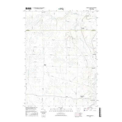 2016 Beaver Center2016 Print · USGSCrawford and Erie counties are shown here in the mid-2010s, capturing a landscape of established farmsteads and creek-side villages. Researchers can trace local history through markers like White Cemetery and the rail-oriented site of Conneautville Station.
 - 2019 Map of Beaver Center, 2019 Print
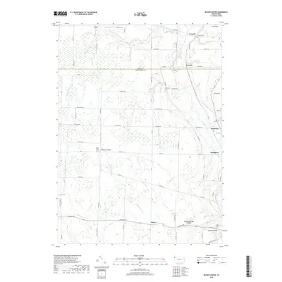 2019 Beaver Center2019 Print · USGSThis northwestern Pennsylvania landscape near the Erie county line shows a network of creeks and small hamlets during the late 2010s. Researchers can locate numerous burial grounds and rural hubs like Beaver Center, Keepville Cem, and Shadeland.
 - 2023 Map of Beaver Center, 2023 Print
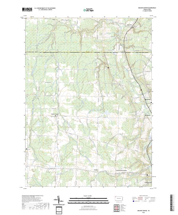 2023 Beaver Center2023 Print · USGSSettled along the creeks of Crawford County, this recent survey captures the rural landscape near Springboro and Beaver Center. Genealogists can locate family landmarks like Saint Sava Cem, Brooks Cem, and Keepville Cem.
End of results
Showing maps 1-11 of 11
Top cities near Conneautville Station
- Conneaut historical maps
- Fairview Township historical maps
- North Kingsville historical maps
- Spring Township historical maps
- Albion historical maps
- Pierpont historical maps
See more
Frequently asked questions
- What are the different types of historical maps available for Conneautville Station?
- What is the oldest map of Conneautville Station?
- Where can I purchase historical maps of Conneautville Station for my home or office?
- Where can I download high-res historical maps of Conneautville Station?
- Are there historical topographic maps available for Conneautville Station?
- Is there historical aerial imagery available for Conneautville Station?
- Where are historical maps of Conneautville Station sourced from?