Old Maps of Summit Township, Pennsylvania for Hiking & Exploration
Hike through history with 18 historic maps of Summit Township. Explore old trails, ghost towns, and forgotten backroads — perfect for outdoor adventurers and local explorers.
- Rediscover forgotten places: Map out old mining camps, roads, and footpaths that no longer exist on modern maps.
- Layer with modern tools: Combine with LiDAR or satellite views to plan hikes through historical terrain.
- Made for exploration: Popular among hikers, overlanders, and local history lovers.
Use these maps to find adventure and explore the hidden past of Summit Township.
Summit Township, PA maps
(18)- 1906 Map of Linesville, 1958 Print
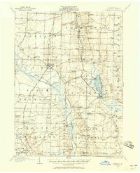 1906 Linesville1958 Print · USGSCrawford County at the turn of the century is defined by its massive wetland systems and the busy rail corridors crossing the Pymatuning Swamp. Researchers can trace the early layout of Exposition Park on Conneaut Lake or locate old rural centers like Espyville Station and Center Road Station.
 - 1908 Map of Linesville
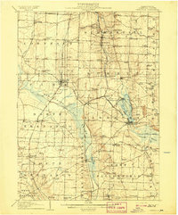 1908 Linesville1908 Print · USGSCrawford County at the turn of the century is a landscape of expansive wetlands and rising rail towns. Genealogists can trace family roots through numerous country schools like Brush College School or locate the historic Steamboat Route on Conneaut Lake.4 unique versions available
 - 1950 Map of Cleveland
 1950 Cleveland1950 Print · USGSCovers Summit Township, including Cleveland, Akron, and other nearby areas
 - 1956 Map of Cleveland, 1967 Print
 1956 Cleveland1967 Print · USGSNortheast Ohio and Western Pennsylvania are shown at their industrial height during the mid-fifties, from the steel mills to the lakeshore. Researchers can trace the massive Ravenna Arsenal, the Ohio Turnpike, and vanished rail sidings of the B & O RR.3 unique versions available
 - 1959 Map of Harmonsburg, 1960 Print
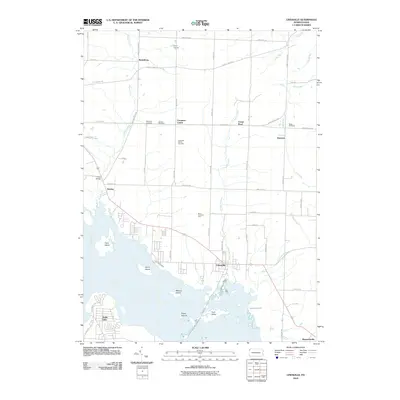
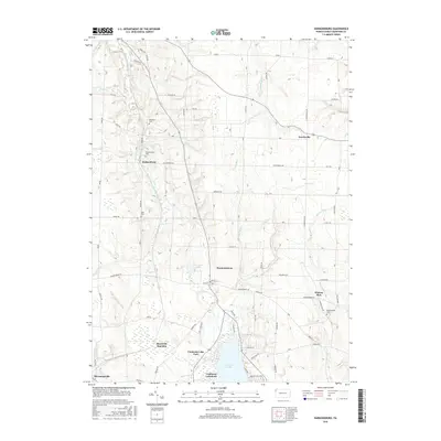
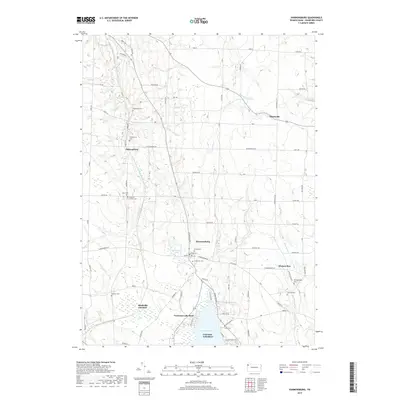
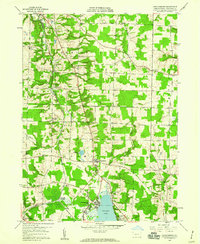 1959 Harmonsburg1960 Print · USGSCrawford County's lake district is captured here in the late fifties, centered on the recreational and rail hub near the northern tip of the lake. Local historians can trace the paths of the Bessemer and Lake Erie Extension Canal and locate family landmarks like Oak Hill Cem and Dicksonburg.4 unique versions available
 - 1959 Map of Linesville, 1961 Print
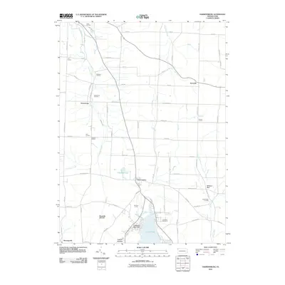
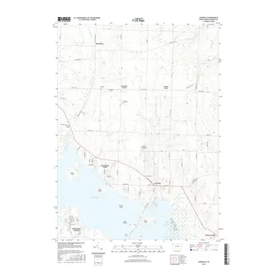
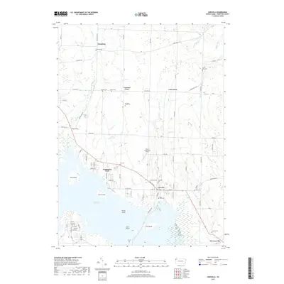
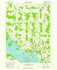 1959 Linesville1961 Print · USGSLinesville and the Crawford County countryside are shown here in the late fifties as the local landscape adapted to the Pymatuning impoundment. Researchers can trace numerous small burial grounds like Manning Cem and Quaker Cem or find landmarks like the State Fish Hatchery.3 unique versions available
 - 1962 Map of Cleveland
 1962 Cleveland1962 Print · USGSNortheast Ohio and the Pennsylvania borderlands appear here during the industrial peak of the early sixties. Genealogists and historians can trace the expansive rail lines of the Nickel Plate Road and the growth of suburbs from Parma to Lyndhurst.
 - 1986 Map of Ashtabula
 1986 Ashtabula1986 Print · USGSThe Lake Erie shoreline and the rural borderlands of Ohio and Pennsylvania are captured here as they appeared in the 1980s. You can trace industrial rail lines like the BESSEMER AND LAKE ERIE or locate family sites near Kelloggsville Cem and Pymatuning State Park.2 unique versions available
 - 2010 Map of Harmonsburg, 2010 Print
 2010 Harmonsburg2010 Print · USGSCovers Summit Township, including Summerhill Township, Dicksonburg, and other nearby areas
 - 2010 Map of Linesville, 2010 Print
 2010 Linesville2010 Print · USGSCovers Summit Township, including Linesville, North Shenango Township, and other nearby areas
 - 2013 Map of Harmonsburg, 2013 Print
 2013 Harmonsburg2013 Print · USGSCovers Summit Township, including Summerhill Township, Dicksonburg, and other nearby areas
 - 2013 Map of Linesville, 2013 Print
 2013 Linesville2013 Print · USGSCovers Summit Township, including Linesville, North Shenango Township, and other nearby areas
 - 2016 Map of Harmonsburg, 2016 Print
 2016 Harmonsburg2016 Print · USGSCovers Summit Township, including Summerhill Township, Dicksonburg, and other nearby areas
 - 2016 Map of Linesville, 2016 Print
 2016 Linesville2016 Print · USGSCovers Summit Township, including Linesville, North Shenango Township, and other nearby areas
 - 2019 Map of Linesville, 2019 Print
 2019 Linesville2019 Print · USGSCovers Summit Township, including Linesville, North Shenango Township, and other nearby areas
 - 2019 Map of Harmonsburg, 2019 Print
 2019 Harmonsburg2019 Print · USGSCovers Summit Township, including Summerhill Township, Dicksonburg, and other nearby areas
 - 2023 Map of Linesville, 2023 Print
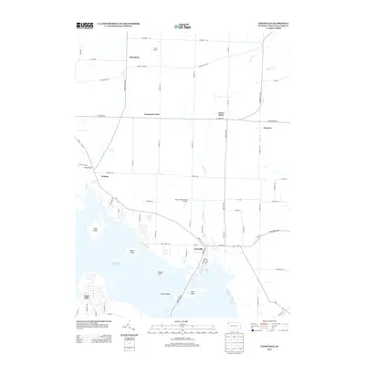
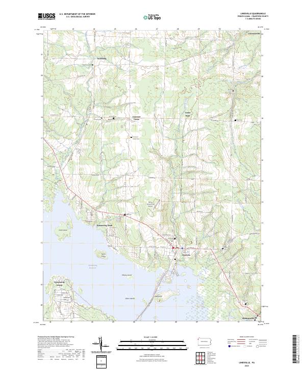 2023 Linesville2023 Print · USGSCrawford County at the start of the 2020s shows a landscape where lakeside recreation at the Pymatuning Reservoir meets deep-rooted rural history. Researchers can trace family sites through numerous burial grounds like Sacred Heart Cem and Frey Cem or locate the small airfields and hamlets of Linesville and Steamburg.
 - 2023 Map of Harmonsburg, 2023 Print
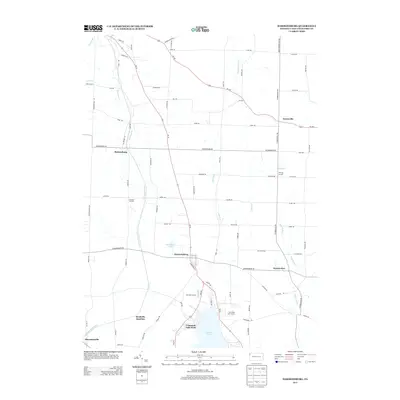
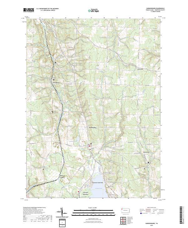 2023 Harmonsburg2023 Print · USGSCrawford County's landscape preserves the path of the Erie Extension Canal alongside rural villages like Harmonsburg. Genealogists can trace family heritage through numerous burial sites including Dicksonburg Cem and Johnston Cem near Watson Run.
End of results
Showing maps 1-18 of 18
Top cities near Summit Township
- Meadville historical maps
- Edinboro historical maps
- Kinsman Township historical maps
- Spring Township historical maps
- Andover historical maps
- Linesville historical maps
See more
Top neighborhoods of Summit Township
Frequently asked questions
- What are the different types of historical maps available for Summit Township?
- What is the oldest map of Summit Township?
- Where can I purchase historical maps of Summit Township for my home or office?
- Where can I download high-res historical maps of Summit Township?
- Are there historical topographic maps available for Summit Township?
- Is there historical aerial imagery available for Summit Township?
- Where are historical maps of Summit Township sourced from?