Old Maps of Union Township, Pennsylvania
Explore 19 old maps of Union Township, spanning from 1923 to today. These high-resolution historic maps reveal how streets, neighborhoods, landmarks, and natural features evolved over time — perfect for genealogy, metal detecting, research, and local history exploration.
What you can do with these maps:
- See how Union Township changed over time: Compare historical maps to modern-day views to trace roads, homesites, rail lines & more.
- View detailed metadata: Each map includes creators, publishers, year, scale, and archive source.
- Overlay maps with satellite & LiDAR: Visualize the past alongside modern tools to explore terrain & human change.
- Trusted historical sources: Maps sourced from the USGS, Library of Congress, and other archives.
- Access maps your way: View online, download high-res files, or order prints for personal or research use.
Start exploring old maps of Union Township to uncover forgotten places, hidden landmarks, and the deep history beneath your feet.
Union Township, PA maps
(19)- 1923 Map of Meadville, 1962 Print
 1923 Meadville1962 Print · USGSCrawford County's river valleys and rail corridors are captured here in the early 1920s, centered on the growing industrial hub of Meadville. Researchers can locate dozens of country schoolhouses like Huller School and trace the paths of the Erie R R and Perry Highway.
 - 1925 Map of Meadville
 1925 Meadville1925 Print · USGSCrawford County settlements and rail corridors are captured in detail here during the mid-twenties. Genealogists can locate dozens of family-named schoolhouses and landmarks, from Booths Church to the County Farm and Frenchtown.3 unique versions available
 - 1943 Map of Meadville
 1943 Meadville1943 Print · USGSCrawford County's river valleys and rail corridors are captured in high detail in the early 1940s, centered on the bustling city of Meadville. Genealogists and researchers can trace local landmarks like the County Farm, dozens of rural schools such as Hatch Sch, and the winding path of the ERIE railroad.
 - 1950 Map of Cleveland
 1950 Cleveland1950 Print · USGSCovers Union Township, including Cleveland, Akron, and other nearby areas
 - 1956 Map of Cleveland, 1967 Print
 1956 Cleveland1967 Print · USGSNortheast Ohio and Western Pennsylvania are shown at their industrial height during the mid-fifties, from the steel mills to the lakeshore. Researchers can trace the massive Ravenna Arsenal, the Ohio Turnpike, and vanished rail sidings of the B & O RR.3 unique versions available
 - 1962 Map of Cleveland
 1962 Cleveland1962 Print · USGSNortheast Ohio and the Pennsylvania borderlands appear here during the industrial peak of the early sixties. Genealogists and historians can trace the expansive rail lines of the Nickel Plate Road and the growth of suburbs from Parma to Lyndhurst.
 - 1967 Map of Cochranton, 1970 Print
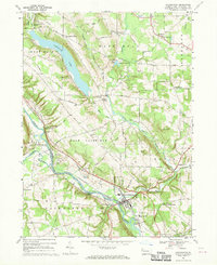 1967 Cochranton1970 Print · USGSPennsylvania's Crawford County comes into focus during the late 1960s, showing a landscape shaped by the French Creek valley and the Erie-Lackawanna railroad. Genealogists can trace family names at numerous crossroads like Frenchtown and Kasters Corners or locate local landmarks including St Marks Ch and Ponce de Leon Spring.2 unique versions available
 - 1968 Map of Geneva, 1970 Print
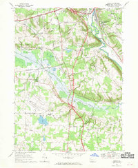 1968 Geneva1970 Print · USGSCrawford County's rural townships and wetlands are captured in the late sixties as the new interstate began to reshape local transit. Genealogists and local historians can trace family-named sites like Anderson Cem and Allison Corners or the old rail lines at Buchanan Station.4 unique versions available
 - 1986 Map of Ashtabula
 1986 Ashtabula1986 Print · USGSThe Lake Erie shoreline and the rural borderlands of Ohio and Pennsylvania are captured here as they appeared in the 1980s. You can trace industrial rail lines like the BESSEMER AND LAKE ERIE or locate family sites near Kelloggsville Cem and Pymatuning State Park.2 unique versions available
 - 2010 Map of Cochranton, 2010 Print
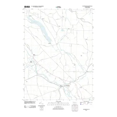 2010 Cochranton2010 Print · USGSThe Crawford County countryside comes into focus at the start of the decade, centered on the river convergence at Cochranton. Genealogists and local historians can trace family-named crossroads like Pettis Corners and Brunot Corners or locate graves at Kiser Hill Cemetery.
 - 2010 Map of Geneva, 2010 Print
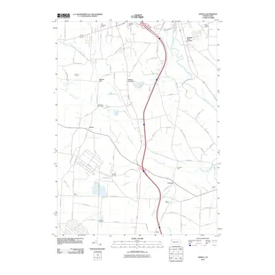 2010 Geneva2010 Print · USGSCrawford County at the start of the 21st century reveals a network of rural hamlets and managed wetlands south of Meadville. Genealogists and local historians can trace family-named sites like Keborts Corners and several historic grounds including Greenwood Cemetery.
 - 2013 Map of Cochranton, 2013 Print
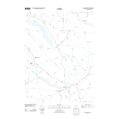 2013 Cochranton2013 Print · USGSCochranton and its surrounding rural hamlets are shown in great detail during the early twenty-first century. Genealogists and local historians can trace family-named crossroads like McNamaras Corners and Kantz Corners or locate the Ponce de Leon Spring.
 - 2013 Map of Geneva, 2013 Print
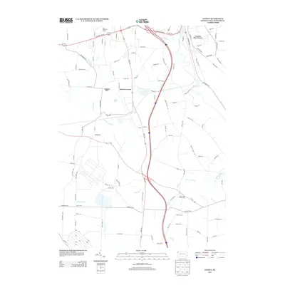 2013 Geneva2013 Print · USGSCrawford County's rural landscapes and crossroads hamlets are captured here in the early twenty-first century. Researchers can trace family ties through long-settled points like Geneva, Custards, and Watson Run, or locate landmarks like Rock Creek Falls.
 - 2016 Map of Cochranton, 2016 Print
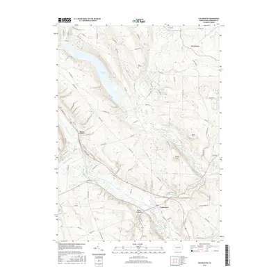 2016 Cochranton2016 Print · USGSCrawford County's river valleys and rural crossroads are captured here in the mid-2010s. Researchers can trace family roots near Cochranton or locate historical sites like Kiser Hill Cem and the Ponce de Leon Spring.
 - 2016 Map of Geneva, 2016 Print
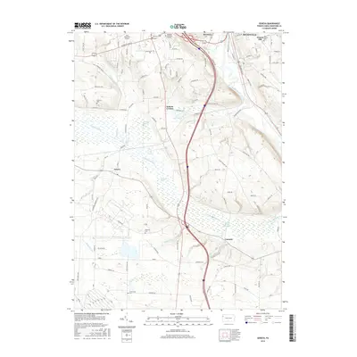 2016 Geneva2016 Print · USGSThe outskirts of Meadville meet the sprawling Conneaut Marsh in the mid-2010s. Researchers can locate family burial sites at Roselawn Memorial Gardens and Greenwood Cem while tracing the rural road networks around Geneva and Custards.
 - 2019 Map of Cochranton, 2019 Print
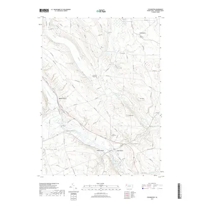 2019 Cochranton2019 Print · USGSCochranton and the surrounding Crawford County hills are documented here in the late twenty-teens, showing a landscape defined by creek valleys and rural crossroads. Genealogists can locate several family and church burial sites including Smith Rockafellow Cem and Kiser Hill Cem along the winding Franklin Pike.
 - 2019 Map of Geneva, 2019 Print
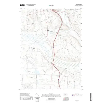 2019 Geneva2019 Print · USGSCrawford County at the end of the 2010s shows a landscape shaped by the Conneaut Marsh and the southern outskirts of Meadville. Researchers can locate many small burial sites including Saint Johns Cem, Watson Run Cem, and the settlement of Geneva.
 - 2023 Map of Cochranton, 2023 Print
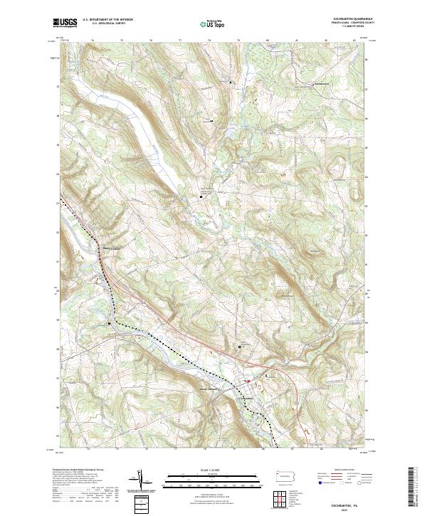 2023 Cochranton2023 Print · USGSCochranton and the surrounding French Creek valley are captured in this contemporary survey of Crawford County. Researchers can trace ancestral roots through numerous local burial grounds including Cochranton Cem and Ewing Cem, or explore the old crossroads at Shaws Corners.
 - 2023 Map of Geneva, 2023 Print
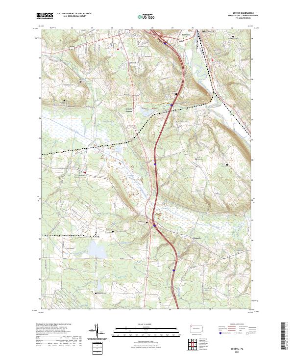 2023 Geneva2023 Print · USGSCrawford County's diverse landscape is documented in this recent survey, from the edge of Meadville down through the expansive Conneaut Marsh. Researchers can locate numerous local landmarks including Port Meadville Airport, Rock Creek Falls, and several family-named burial sites like Mumford Chapel Cem.
End of results
Showing maps 1-19 of 19
Top cities near Union Township
- Meadville historical maps
- Spring Township historical maps
- Cochranton historical maps
- Fairview Township historical maps
- Saegertown historical maps
- Conneautville historical maps
See more
Top neighborhoods of Union Township
Frequently asked questions
- What are the different types of historical maps available for Union Township?
- What is the oldest map of Union Township?
- Where can I purchase historical maps of Union Township for my home or office?
- Where can I download high-res historical maps of Union Township?
- Are there historical topographic maps available for Union Township?
- Is there historical aerial imagery available for Union Township?
- Where are historical maps of Union Township sourced from?