2000s (21st Century) Maps of Shippensburg Township, Pennsylvania
Explore 10 historic maps of Shippensburg Township from the 2000s (21st Century). These maps offer a rare glimpse into what life looked like during the 2000s — showing old roads, neighborhoods, homes, and landmarks that have changed or disappeared over time.
Whether you're researching your family's past, planning a metal detecting trip, or studying how Shippensburg Township's landscape evolved across the 2000s, these high-resolution maps are a powerful tool for exploring the history of this region.
- Focus on a specific era: All maps on this page are from the 2000s, giving you a focused view of this time period.
- See what’s changed: Compare century-old streets, trails, and buildings to today's modern landscape using overlays and satellite layers.
- Research with precision: Use these maps for genealogy, historical research, land use analysis, or educational projects.
- View, download, or print: Maps are fully viewable online in high resolution, and can be downloaded or printed for your own records.
Start exploring Shippensburg Township's history through authentic maps from the 2000s. This is your window into the past.
Shippensburg Township, PA maps
(10)- 2010 Map of Shippensburg, 2010 Print
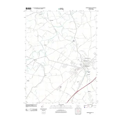 2010 Shippensburg2010 Print · USGSCovers Shippensburg Township, including Shippensburg, Lurgan Township, and other nearby areas
 - 2010 Map of Walnut Bottom, 2010 Print
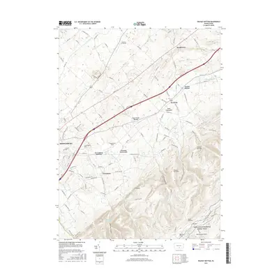
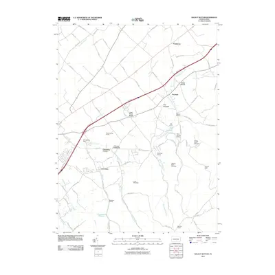 2010 Walnut Bottom2010 Print · USGSCovers Shippensburg Township, including Shippensburg, West Pennsboro Township, and other nearby areas
 - 2013 Map of Shippensburg, 2013 Print
 2013 Shippensburg2013 Print · USGSCovers Shippensburg Township, including Shippensburg, Lurgan Township, and other nearby areas
 - 2013 Map of Walnut Bottom, 2013 Print
 2013 Walnut Bottom2013 Print · USGSCovers Shippensburg Township, including Shippensburg, West Pennsboro Township, and other nearby areas
 - 2016 Map of Walnut Bottom, 2016 Print
 2016 Walnut Bottom2016 Print · USGSCovers Shippensburg Township, including Shippensburg, West Pennsboro Township, and other nearby areas
 - 2016 Map of Shippensburg, 2016 Print
 2016 Shippensburg2016 Print · USGSCovers Shippensburg Township, including Shippensburg, Lurgan Township, and other nearby areas
 - 2019 Map of Walnut Bottom, 2019 Print
 2019 Walnut Bottom2019 Print · USGSCovers Shippensburg Township, including Shippensburg, West Pennsboro Township, and other nearby areas
 - 2019 Map of Shippensburg, 2019 Print
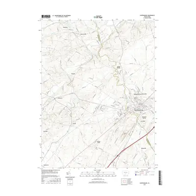
 2019 Shippensburg2019 Print · USGSCovers Shippensburg Township, including Shippensburg, Lurgan Township, and other nearby areas
 - 2023 Map of Walnut Bottom, 2023 Print
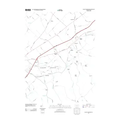
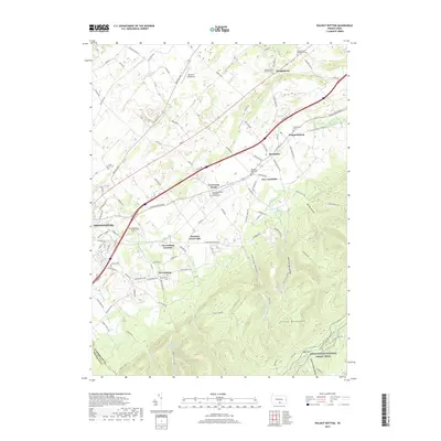
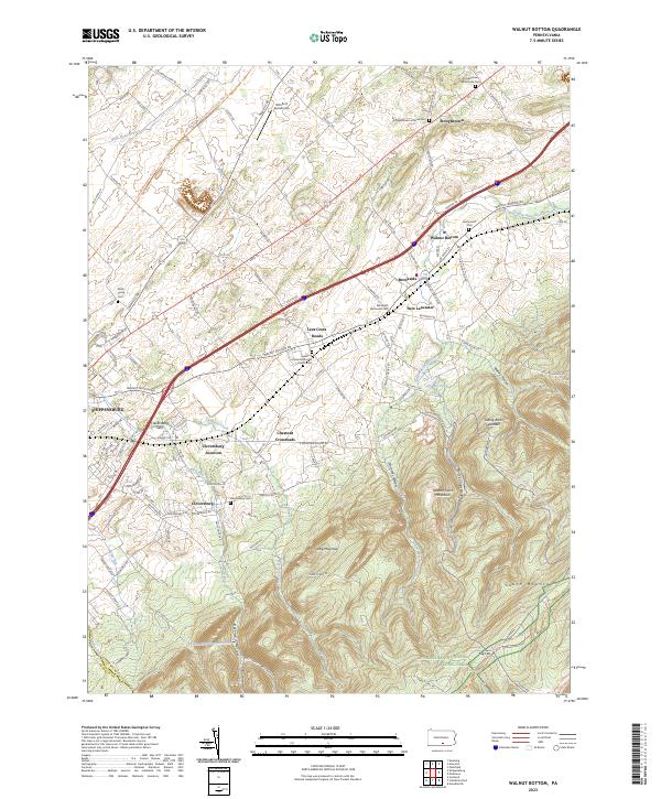 2023 Walnut Bottom2023 Print · USGSCumberland County’s fertile valley meets the wooded heights of South Mountain in this modern look at a landscape shaped by early turnpikes and rail. Genealogists can trace family sites at Jacksonville Cem and Stoughstown Mennonite Cem while hikers follow the Appalachian Trail.
 - 2023 Map of Shippensburg, 2023 Print
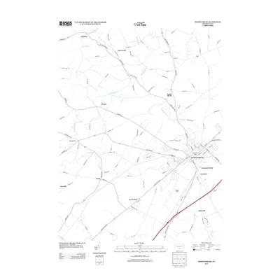
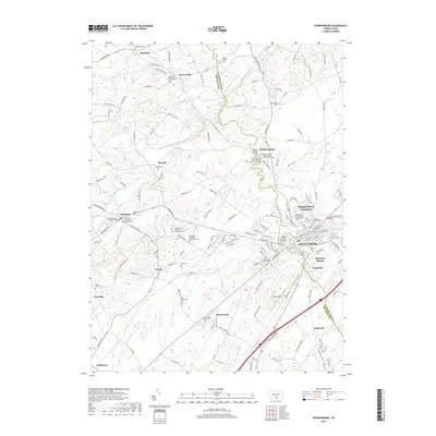
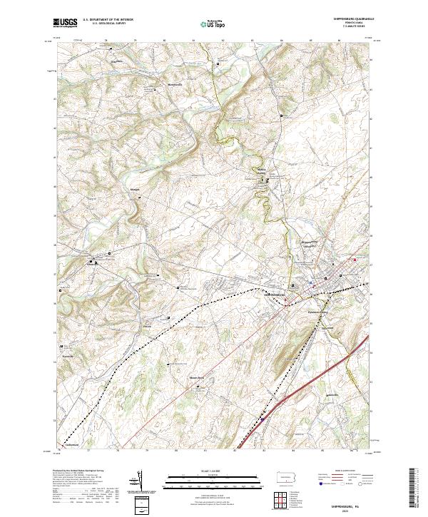 2023 Shippensburg2023 Print · USGSThe Cumberland Valley comes into focus in the early twenty-first century, centered on the growing campus of Shippensburg University. Genealogists can trace family names through dozens of historic burial grounds, including the Old Dutch Graveyard and the Middle Spring Presbyterian Church Cem-Old.
End of results
Showing maps 1-10 of 10
Top cities near Shippensburg Township
- Chambersburg historical maps
- Quincy Township historical maps
- Shippensburg historical maps
- Dickinson historical maps
- Fayetteville historical maps
- Lurgan Township historical maps
See more
Frequently asked questions
- What are the different types of historical maps available for Shippensburg Township?
- What is the oldest map of Shippensburg Township?
- Where can I purchase historical maps of Shippensburg Township for my home or office?
- Where can I download high-res historical maps of Shippensburg Township?
- Are there historical topographic maps available for Shippensburg Township?
- Is there historical aerial imagery available for Shippensburg Township?
- Where are historical maps of Shippensburg Township sourced from?