2000s (21st Century) Maps of Londonderry Township, Pennsylvania
Explore 15 historic maps of Londonderry Township from the 2000s (21st Century). These maps offer a rare glimpse into what life looked like during the 2000s — showing old roads, neighborhoods, homes, and landmarks that have changed or disappeared over time.
Whether you're researching your family's past, planning a metal detecting trip, or studying how Londonderry Township's landscape evolved across the 2000s, these high-resolution maps are a powerful tool for exploring the history of this region.
- Focus on a specific era: All maps on this page are from the 2000s, giving you a focused view of this time period.
- See what’s changed: Compare century-old streets, trails, and buildings to today's modern landscape using overlays and satellite layers.
- Research with precision: Use these maps for genealogy, historical research, land use analysis, or educational projects.
- View, download, or print: Maps are fully viewable online in high resolution, and can be downloaded or printed for your own records.
Start exploring Londonderry Township's history through authentic maps from the 2000s. This is your window into the past.
Londonderry Township, PA maps
(15)- 2010 Map of York Haven, 2010 Print
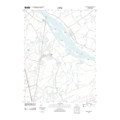 2010 York Haven2010 Print · USGSThe Susquehanna River corridor in York County comes into focus in the early twenty-first century, showing the developed landscapes of Manchester and Mount Wolf. Genealogists can trace family heritage at Brenneman Cemetery or Holy Saviour Cemetery while exploring landmarks like York Haven Dam.
- 2010 Map of Middletown, 2010 Print
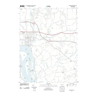 2010 Middletown2010 Print · USGSMiddletown and the Susquehanna River corridor are captured here at the start of the 2010s, showing a landscape shaped by river industry and education. Genealogists and local historians can trace the grounds of the Masonic Homes, Mount Ober Cemetery, and the riverfront at Goldsboro.
- 2010 Map of Steelton, 2010 Print
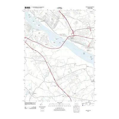 2010 Steelton2010 Print · USGSThe riverfront between Steelton and Goldsboro is captured here during the first decade of the millennium. Researchers can trace family history through numerous landmarks like Midland Cemetery, Harmony Hall, and the Steelton Post Office.
- 2013 Map of Steelton, 2013 Print
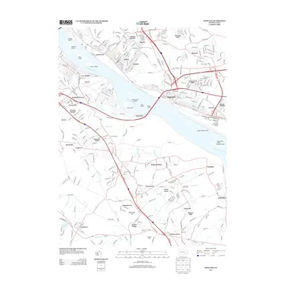 2013 Steelton2013 Print · USGSThe Susquehanna riverfront in the early twenty-first century shows a complex landscape of industry, aviation, and historic waterways. Genealogists and local historians can trace residential growth in Steelton and Highspire or locate landmarks like the Pennsylvania Canal and Lewisberry.
- 2013 Map of York Haven, 2013 Print
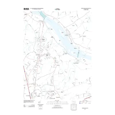 2013 York Haven2013 Print · USGSThe Susquehanna River corridor between York Haven and Bainbridge comes into focus in the early 2010s. Genealogists and historians can trace suburban growth and industrial heritage at Codorus Furnace, Wago Junction, and the riverside borough of Mount Wolf.
- 2013 Map of Middletown, 2013 Print
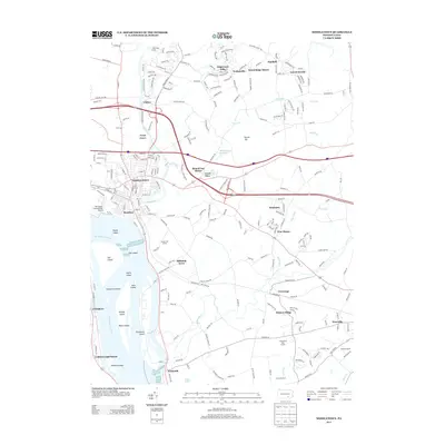 2013 Middletown2013 Print · USGSThe Susquehanna River corridor south of Harrisburg is shown here in the early 2010s, centered on the historic river towns of Middletown and Royalton. Researchers can trace the complex geography of Threemile Island, the legacy of the Masonic Homes, and the growth of communities like Conewago and Falmouth.
- 2016 Map of York Haven, 2016 Print
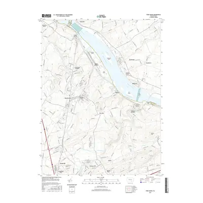 2016 York Haven2016 Print · USGSThe Susquehanna River corridor between York and Lancaster counties was a hub of river-and-rail industry in the mid-2010s. Researchers can locate historical industrial sites like Codorus Furnace and trace the rail lines connecting Manchester, Mount Wolf, and Wago Junction.
- 2016 Map of Steelton, 2016 Print
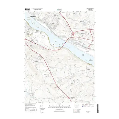 2016 Steelton2016 Print · USGSThe Susquehanna riverfront in the 2010s shows a landscape defined by heavy industry and critical transit hubs. Trace family roots at Paddletown Cem or Goldsboro Cemeteries while exploring the historic path of the Pennsylvania Canal near Steelton.
- 2016 Map of Middletown, 2016 Print
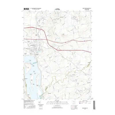 2016 Middletown2016 Print · USGSThe Susquehanna River corridor south of Harrisburg is captured here at a time of heavy industrial and academic development. Researchers can trace the complex river geography around Threemile Island and locate local landmarks like Mount Ober Cem and Pennsylvania State Univ Harrisburg.
- 2019 Map of York Haven, 2019 Print
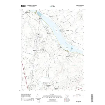 2019 York Haven2019 Print · USGSThe Susquehanna River corridor between York and Lancaster counties is captured here in recent detail, showing a landscape defined by water and rail. Researchers can locate numerous family and community landmarks, from Codorus Furnace to the Martin Family Cem and Stoner-Kauffman Cem.
- 2019 Map of Steelton, 2019 Print
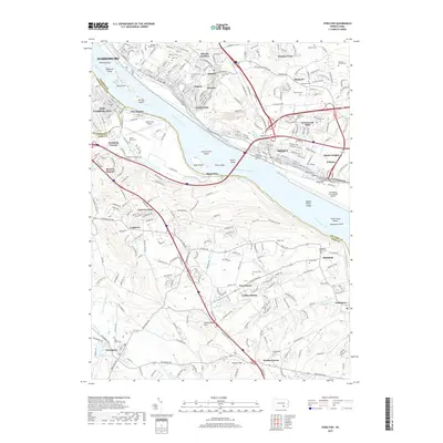 2019 Steelton2019 Print · USGSThe Susquehanna River corridor south of the state capital is captured here in detail, showing the interplay between historic river towns and modern infrastructure. Researchers can trace family history across dozens of burial sites like Saint Johns Cem and the Stoner Family Farm Cem while exploring the footprint of the Pennsylvania Canal.
- 2019 Map of Middletown, 2019 Print
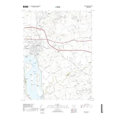 2019 Middletown2019 Print · USGSThe Susquehanna River corridor south of Harrisburg is shown here at the close of the 2010s, featuring a dense network of river islands and historic townships. Genealogists can trace family burial sites like Nissley Graveyard and the German Lutheran Burial Grounds.
- 2023 Map of York Haven, 2023 Print
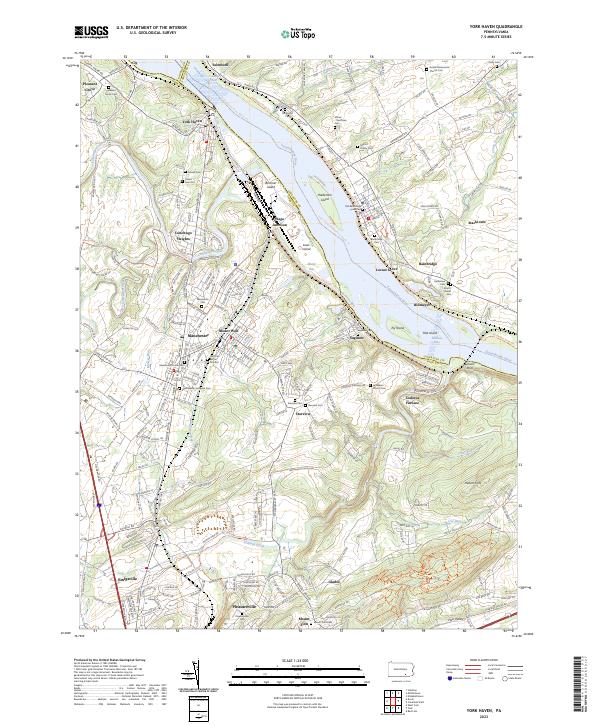 2023 York Haven2023 Print · USGSThe Susquehanna River corridor south of the state capital reflects centuries of settlement and industry in the early 2020s. Genealogists can trace family names at the Arnett Burial Site or Goods Mennonite Church Cem while historians study the site of Codorus Furnace.
- 2023 Map of Middletown, 2023 Print
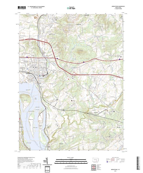 2023 Middletown2023 Print · USGSMiddletown and Royalton sit at the historic meeting of the Susquehanna and Swatara Creek in the early twenty-first century. Genealogists can trace family roots through numerous sites like the Old German Lutheran Burial Grounds, Nissley Graveyard, and the Gingrich Family Plot.
- 2023 Map of Steelton, 2023 Print
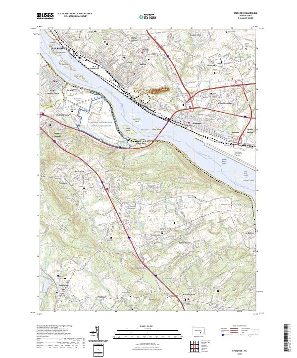 2023 Steelton2023 Print · USGSThe riverfront communities south of Harrisburg are captured in detail here, from the industrial corridors of Steelton to the heights of Yocumtown. Researchers can locate numerous family burial grounds and historic sites like the Pennsylvania Canal, Stoner Family Farm Cem, and Newberry Friends Original Cem.
End of results
Showing maps 1-15 of 15
Top cities near Londonderry Township
- Harrisburg historical maps
- York historical maps
- Colonial Park historical maps
- Hershey historical maps
- Elizabethtown historical maps
- Progress historical maps
See more
Top neighborhoods of Londonderry Township
- Braeburn historical maps
- Pine Manor historical maps
- Round Top Manor historical maps
- Hillsdale Acres historical maps
- Crest View historical maps
Frequently asked questions
- What are the different types of historical maps available for Londonderry Township?
- What is the oldest map of Londonderry Township?
- Where can I purchase historical maps of Londonderry Township for my home or office?
- Where can I download high-res historical maps of Londonderry Township?
- Are there historical topographic maps available for Londonderry Township?
- Is there historical aerial imagery available for Londonderry Township?
- Where are historical maps of Londonderry Township sourced from?