2000s (21st Century) Maps of South Hanover Township, Pennsylvania
Explore 10 historic maps of South Hanover Township from the 2000s (21st Century). These maps offer a rare glimpse into what life looked like during the 2000s — showing old roads, neighborhoods, homes, and landmarks that have changed or disappeared over time.
Whether you're researching your family's past, planning a metal detecting trip, or studying how South Hanover Township's landscape evolved across the 2000s, these high-resolution maps are a powerful tool for exploring the history of this region.
- Focus on a specific era: All maps on this page are from the 2000s, giving you a focused view of this time period.
- See what’s changed: Compare century-old streets, trails, and buildings to today's modern landscape using overlays and satellite layers.
- Research with precision: Use these maps for genealogy, historical research, land use analysis, or educational projects.
- View, download, or print: Maps are fully viewable online in high resolution, and can be downloaded or printed for your own records.
Start exploring South Hanover Township's history through authentic maps from the 2000s. This is your window into the past.
South Hanover Township, PA maps
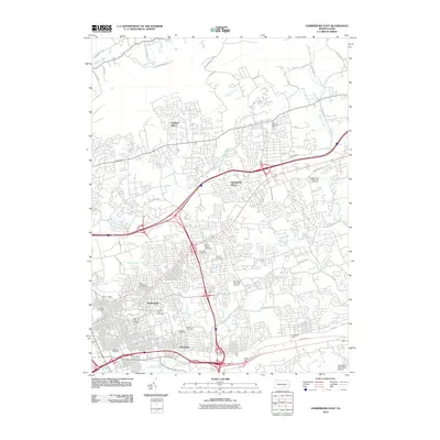
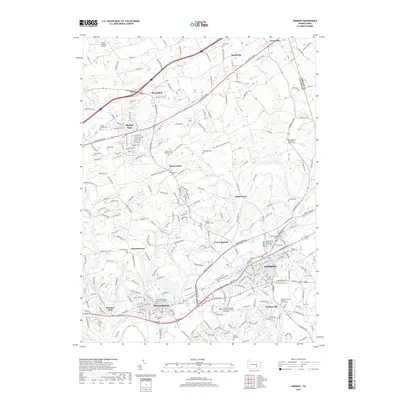
(10)- 2010 Map of Hershey, 2010 Print
 2010 Hershey2010 Print · USGSCovers South Hanover Township, including Hershey, Rutherford, and other nearby areas
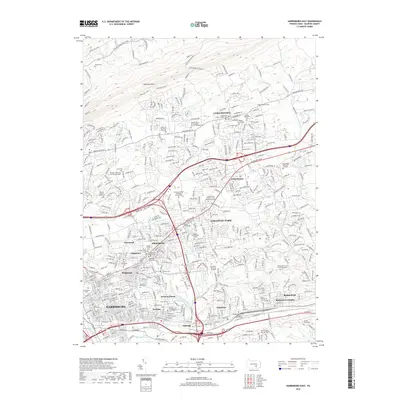
 - 2010 Map of Harrisburg East, 2010 Print
 2010 Harrisburg East2010 Print · USGSCovers South Hanover Township, including Harrisburg, Colonial Park, and other nearby areas
 - 2013 Map of Hershey, 2013 Print
 2013 Hershey2013 Print · USGSCovers South Hanover Township, including Hershey, Rutherford, and other nearby areas
 - 2013 Map of Harrisburg East, 2013 Print
 2013 Harrisburg East2013 Print · USGSCovers South Hanover Township, including Harrisburg, Colonial Park, and other nearby areas
 - 2016 Map of Harrisburg East, 2016 Print
 2016 Harrisburg East2016 Print · USGSCovers South Hanover Township, including Harrisburg, Colonial Park, and other nearby areas
 - 2016 Map of Hershey, 2016 Print
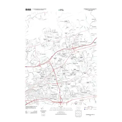
 2016 Hershey2016 Print · USGSCovers South Hanover Township, including Hershey, Rutherford, and other nearby areas
 - 2019 Map of Hershey, 2019 Print
 2019 Hershey2019 Print · USGSCovers South Hanover Township, including Hershey, Rutherford, and other nearby areas
 - 2019 Map of Harrisburg East, 2019 Print
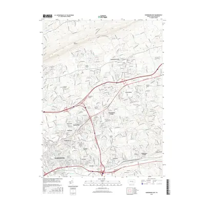
 2019 Harrisburg East2019 Print · USGSCovers South Hanover Township, including Harrisburg, Colonial Park, and other nearby areas
 - 2023 Map of Hershey, 2023 Print
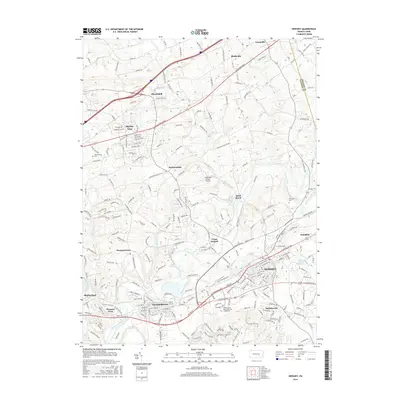
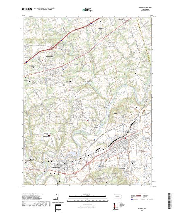 2023 Hershey2023 Print · USGSDauphin County’s chocolate-making heart and surrounding rural townships are shown in this modern survey. Genealogists and historians can trace the historic Union Canal or locate local burial grounds like Union Deposit Cem and Balsbaugh Cem.
 - 2023 Map of Harrisburg East, 2023 Print
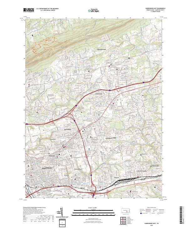 2023 Harrisburg East2023 Print · USGSThe eastern edge of Pennsylvania's capital and its surrounding valleys are shown here in modern detail. Researchers can trace family sites at Harrisburg Cem, Shoops Cem, and the Paxtang Presbyterian Churchyard.
End of results
Showing maps 1-10 of 10
Top cities near South Hanover Township
- Harrisburg historical maps
- Colonial Park historical maps
- Hershey historical maps
- Elizabethtown historical maps
- Progress historical maps
- Middletown historical maps
See more
Top neighborhoods of South Hanover Township
- Hoernerstown historical maps
- Long Lane Acres historical maps
- Sand Beach historical maps
- Greenbriar historical maps
- Hanover Hills historical maps
- Branbury Cross historical maps
See more
Frequently asked questions
- What are the different types of historical maps available for South Hanover Township?
- What is the oldest map of South Hanover Township?
- Where can I purchase historical maps of South Hanover Township for my home or office?
- Where can I download high-res historical maps of South Hanover Township?
- Are there historical topographic maps available for South Hanover Township?
- Is there historical aerial imagery available for South Hanover Township?
- Where are historical maps of South Hanover Township sourced from?