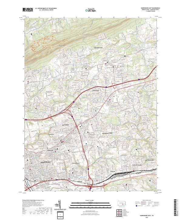
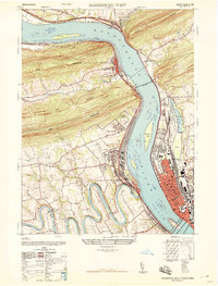
2023 Map of Harrisburg East
USGS Topo · Published 2023About this map
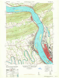
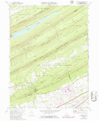
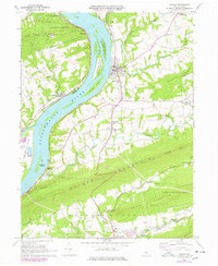
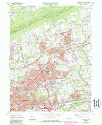
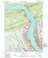
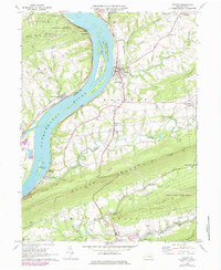
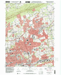
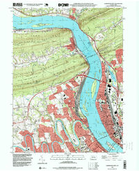
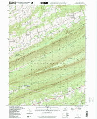
Harrisburg anchors the southwestern edge of this survey, where the urban grid gives way to a dense network of suburban developments and historical enclaves. The landscape is defined by the ridge of Blue Mountain to the north and the winding path of Paxton Creek, which drains much of the central valley. This area exhibits a complex geography of memory, with a high concentration of burial grounds such as Harrisburg Cem, Prospect Hill Cem, and the Paxtang Presbyterian Churchyard.
Find a feature on this map
53 named features on this map. Tap any name to fly to it.
Don’t see what you’re looking for? This feature index may not catch every label — zoom into the map to look around manually.
Map Details
Editions of this 2023 Harrisburg East Map
This is the sole edition of this map. No revisions or reprints were ever made.
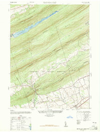
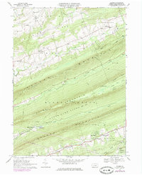
Historical Maps of South Hanover Township Through Time
22 maps found
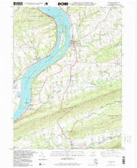
1947 Enders
Dauphin County, PA
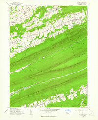
1947 Halifax
Dauphin County, PA
1947 Harrisburg East
Dauphin County, PA
1947 Harrisburg West
Dauphin County, PA
1947 Manada Gap
Dauphin County, PA
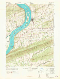
1963 Harrisburg West
Dauphin County, PA
1969 Enders
Dauphin County, PA
1969 Grantville
Dauphin County, PA
1969 Halifax
Dauphin County, PA
1969 Harrisburg East
Dauphin County, PA
1969 Harrisburg West
Dauphin County, PA
1977 Halifax
Dauphin County, PA
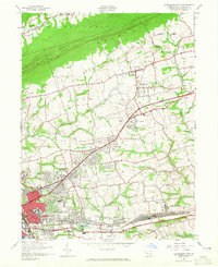
1993 Harrisburg East
Dauphin County, PA
1993 Harrisburg West
Dauphin County, PA
1995 Enders
Dauphin County, PA
1995 Halifax
Dauphin County, PA
1999 Grantville
Dauphin County, PA
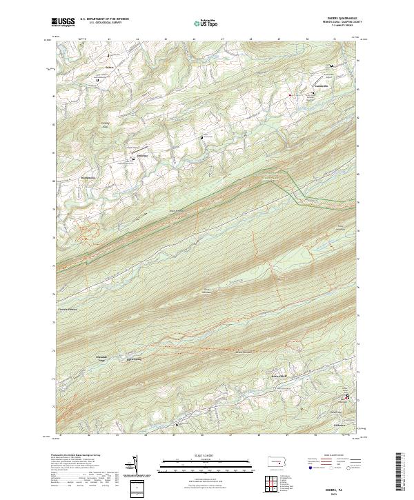
2023 Enders
Dauphin County, PA
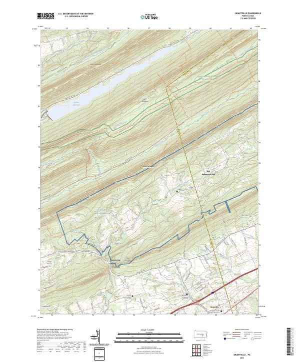
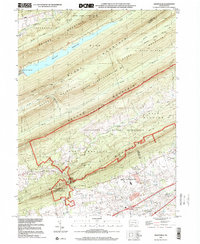
2023 Grantville
Dauphin County, PA
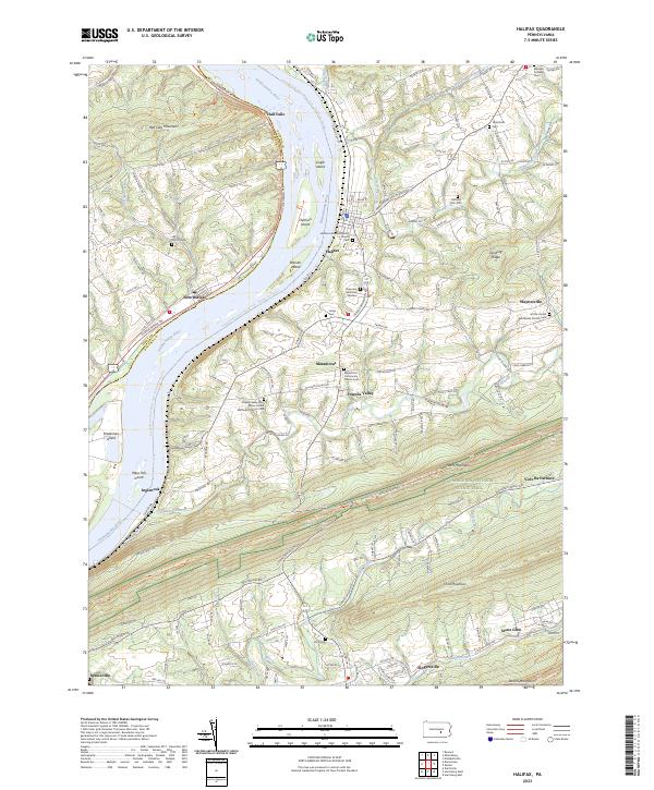
2023 Halifax
Dauphin County, PA
2023 Harrisburg East
Dauphin County, PA
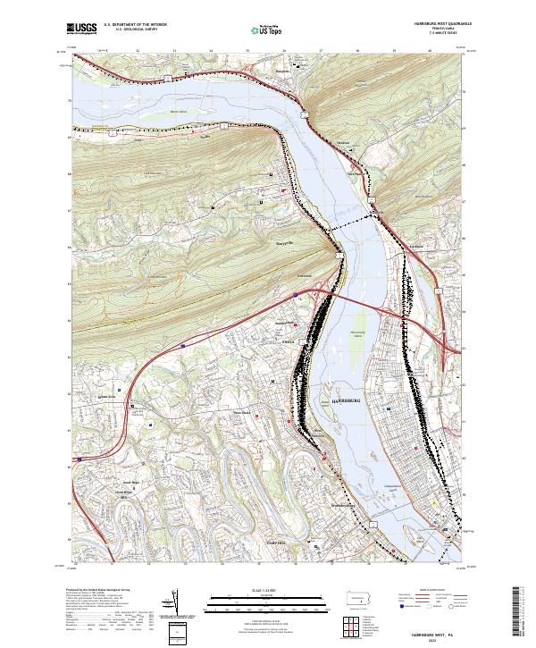
2023 Harrisburg West
Dauphin County, PA
Featured Locations
- Harrisburg, PA
- Rutherford, Swatara Township
- Progress, Susquehanna Township
- Colonial Park, Lower Paxton Township
- Linglestown, Lower Paxton Township