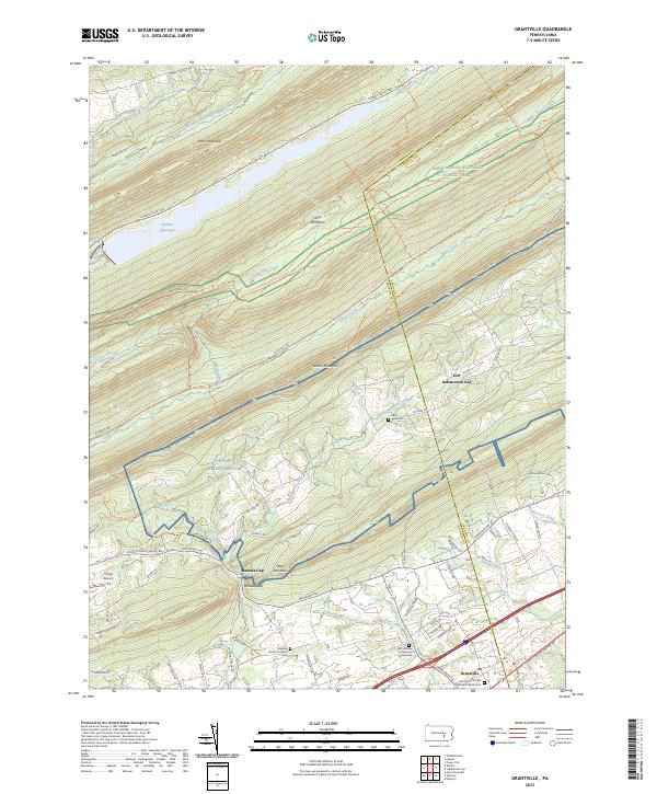
2023 Map of Grantville
USGS Topo · Published 2023About this map
Grantville serves as the primary settlement hub in this portion of Dauphin County, where the valley floor meets the imposing ridges of the Appalachian Mountains. The landscape is defined by a series of parallel heights, including Peters Mountain, Stony Mountain, and Second Mountain, which create isolated corridors for water and transit. Within these valleys, Stony Creek flows along an Old RR Bed, now utilized as the Stony Valley Railroad Grade Trl, illustrating the transition from industrial extraction to recreational use.
Find a feature on this map
81 named features on this map. Tap any name to fly to it.
Don’t see what you’re looking for? This feature index may not catch every label — zoom into the map to look around manually.
Map Details
Editions of this 2023 Grantville Map
This is the sole edition of this map. No revisions or reprints were ever made.
Other maps of this area

1892 · Lykens
USGS Topo · 1:62,500

1892 · Hummelstown
USGS Topo · 1:62,500

1892 · Harrisburg
USGS Topo · 1:62,500

1893 · Lykens
USGS Topo · 1:62,500

1893 · Millersburg
USGS Topo · 1:62,500

1899 · Harrisburg
USGS Topo · 1:62,500

1924 · Hummelstown
USGS Topo · 1:62,500

1924 · Harrisburg
USGS Topo · 1:62,500

1943 · Millersburg
USGS Topo · 1:62,500

1943 · Lykens
USGS Topo · 1:62,500
Featured Places
- East Hanover Township, PA
- Cold Spring Township, PA
- Jefferson Township, PA
- East Hanover Township, PA
- Manada Gap, East Hanover Township