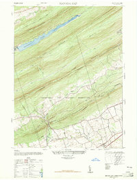
1947 Map of Manada Gap
USGS Topo · Published 1965About this map
Indiantown Gap Military Reservation dominates the landscape of this 1947 survey, showing the extensive training grounds established in the Blue Mountain region. The map reveals a transition from the structured military presence to the rural farming communities of southern Dauphin County. In the lower portions of the sheet, the village of Grantville sits near local landmarks like the Grantville School and St Johns Church.
Find a feature on this map
23 named features on this map. Tap any name to fly to it.
Don’t see what you’re looking for? This feature index may not catch every label — zoom into the map to look around manually.
Map Details
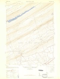
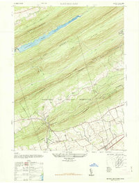
Editions of this 1947 Manada Gap Map
Other maps of this area

1892 · Lykens
USGS Topo · 1:62,500

1892 · Hummelstown
USGS Topo · 1:62,500

1892 · Harrisburg
USGS Topo · 1:62,500

1893 · Lykens
USGS Topo · 1:62,500

1893 · Millersburg
USGS Topo · 1:62,500

1899 · Harrisburg
USGS Topo · 1:62,500

1924 · Hummelstown
USGS Topo · 1:62,500

1924 · Harrisburg
USGS Topo · 1:62,500

1943 · Millersburg
USGS Topo · 1:62,500

1943 · Lykens
USGS Topo · 1:62,500
Featured Places
- East Hanover Township, PA
- Jefferson Township, PA
- West Hanover Township, PA
- Union Township, PA
- Manada Gap, East Hanover Township