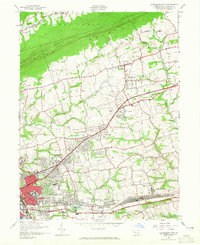
1947 Map of Harrisburg East
USGS Topo · Published 1965About this map
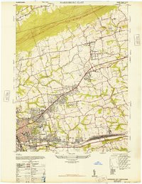
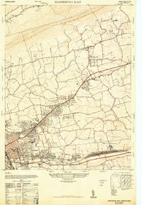
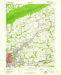
Blue Mountain dominates the northern horizon of this 1940s survey, where the ridges of Middle Paxton meet the expanding residential and industrial corridors east of the state capital. The landscape reveals a transition from rural townships like West Hanover to the dense street grids of Penbrook, Paxtang, and Harrisburg. Transportation infrastructure defines the southern edge of the sheet, with the Reading railroad lines and the Benjamin Franklin Highway serving as vital arteries for the region's mid-century growth. Notable community landmarks include the Prospect Hill Cem and Lincoln Cem, alongside numerous educational institutions like the Herbert Hoover Sch and Harris High Sch. The presence of the State Police headquarters and the Childrens Home underscores the area's significance as a civic and administrative hub just after the war.
Find a feature on this map
49 named features on this map. Tap any name to fly to it.
Don’t see what you’re looking for? This feature index may not catch every label — zoom into the map to look around manually.
Map Details
Editions of this 1947 Harrisburg East Map
4 editions found
Other maps of this area

1892 · Hummelstown
USGS Topo · 1:62,500

1892 · Harrisburg
USGS Topo · 1:62,500

1899 · Harrisburg
USGS Topo · 1:62,500

1906 · New Cumberland
USGS Topo · 1:62,500

1908 · Middletown
USGS Topo · 1:62,500

1924 · Hummelstown
USGS Topo · 1:62,500

1924 · Harrisburg
USGS Topo · 1:62,500

1943 · New Cumberland
USGS Topo · 1:62,500

1943 · Middletown
USGS Topo · 1:62,500

1943 · Harrisburg
USGS Topo · 1:62,500
Featured Places
- Harrisburg, PA
- Colonial Park, Lower Paxton Township
- Progress, Susquehanna Township
- Linglestown, Lower Paxton Township
- Rutherford, Swatara Township