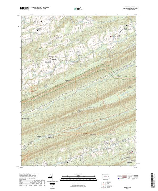
2023 Map of Enders
USGS Topo · Published 2023About this map
Peters Mountain dominates the central landscape of this Dauphin County region, part of a series of parallel ridges including Second Mountain and Third Mountain. The terrain dictated the layout of small settlements such as Enders, Enterline, and Carsonville, which occupy the narrow valleys between these steep rises. The preservation of local history is evident in the numerous family and community burial grounds, most notably the Philip Christian Enders Memorial Cem and Saint Pauls Lutheran Church Cem.
Find a feature on this map
67 named features on this map. Tap any name to fly to it.
Don’t see what you’re looking for? This feature index may not catch every label — zoom into the map to look around manually.
Map Details
Editions of this 2023 Enders Map
This is the sole edition of this map. No revisions or reprints were ever made.
Other maps of this area

1892 · Lykens
USGS Topo · 1:62,500

1892 · Hummelstown
USGS Topo · 1:62,500

1892 · Harrisburg
USGS Topo · 1:62,500

1893 · Lykens
USGS Topo · 1:62,500

1893 · Millersburg
USGS Topo · 1:62,500

1899 · Harrisburg
USGS Topo · 1:62,500

1924 · Hummelstown
USGS Topo · 1:62,500

1924 · Harrisburg
USGS Topo · 1:62,500

1943 · Millersburg
USGS Topo · 1:62,500

1943 · Lykens
USGS Topo · 1:62,500
Featured Places
- Jefferson Township, PA
- Ellendale Forge, Middle Paxton Township
- Victoria Furnace, Middle Paxton Township
- White Spring, Middle Paxton Township
- Piketown, West Hanover Township