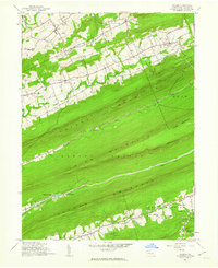
1947 Map of Enders
USGS Topo · Published 1962About this map
Peters Mountain and its parallel ridges dominate the landscape of Dauphin County in the late 1940s, defining a series of narrow agricultural and wooded valleys. Small communities and family farmsteads are clustered around local schools such as Enders Sch and Waynesville Sch, showing a pattern of decentralized rural education before mid-century consolidation. The presence of Ellendale Forge and the Old Railroad Grade along Stony Creek points to the area's industrial past, where mountain resources and rail transport once intersected.
Find a feature on this map
41 named features on this map. Tap any name to fly to it.
Don’t see what you’re looking for? This feature index may not catch every label — zoom into the map to look around manually.
Map Details
Editions of this 1947 Enders Map
2 editions found
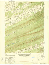
Other maps of this area

1892 · Lykens
USGS Topo · 1:62,500

1892 · Hummelstown
USGS Topo · 1:62,500

1892 · Harrisburg
USGS Topo · 1:62,500

1893 · Lykens
USGS Topo · 1:62,500

1893 · Millersburg
USGS Topo · 1:62,500

1899 · Harrisburg
USGS Topo · 1:62,500

1924 · Hummelstown
USGS Topo · 1:62,500

1924 · Harrisburg
USGS Topo · 1:62,500

1943 · Millersburg
USGS Topo · 1:62,500

1943 · Lykens
USGS Topo · 1:62,500
Featured Places
- Jackson Township, PA
- Jefferson Township, PA
- West Hanover Township, PA
- Rush Township, PA
- Middle Paxton Township, PA