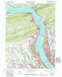
1969 Map of Harrisburg West
USGS Topo · Published 1987About this map
The Susquehanna River dominates this landscape, cutting through the steep ridges of Second Mountain and Blue Mountain. This 1969 field-checked survey, updated in the late 1980s, captures the industrial and transportation nexus where the Conrail line and the massive Rockville Bridge span the water. On the eastern shore, the urban fabric of Harrisburg reveals the civic core around the State Capitol and the St Patricks Cathedral, alongside residential developments near Italian Lake.
Find a feature on this map
74 named features on this map. Tap any name to fly to it.
Don’t see what you’re looking for? This feature index may not catch every label — zoom into the map to look around manually.
Map Details
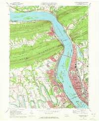
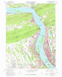
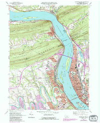
Editions of this 1969 Harrisburg West Map
4 editions found
Other maps of this area

1892 · Harrisburg
USGS Topo · 1:62,500

1899 · Harrisburg
USGS Topo · 1:62,500

1904 · Carlisle
USGS Topo · 1:62,500

1906 · New Cumberland
USGS Topo · 1:62,500

1907 · New Bloomfield
USGS Topo · 1:62,500

1924 · Harrisburg
USGS Topo · 1:62,500

1943 · New Cumberland
USGS Topo · 1:62,500

1943 · Harrisburg
USGS Topo · 1:62,500

1943 · New Bloomfield
USGS Topo · 1:62,500

1943 · Carlisle
USGS Topo · 1:62,500
Featured Places
- Harrisburg, PA
- Enola, East Pennsboro Township
- Wormleysburg, PA
- West Fairview, East Pennsboro Township
- Dauphin, PA