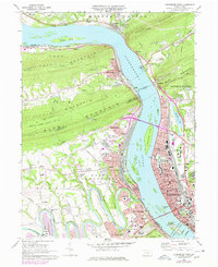
1969 Map of Harrisburg West
USGS Topo · Published 1977About this map
The Susquehanna River dominates this landscape, serving as both a geographic barrier and a transport corridor that shaped the growth of Harrisburg and its neighboring boroughs. The massive Rockville Bridge spans the water, connecting the bustling state capital with the extensive rail yards at Enola and the community of Marysville. The industrial and infrastructure patterns of the late 1960s are evident in the concentration of institutions such as the State Capitol, Polyclinic Hospital, and numerous neighborhood schools like Summit St Sch and Hamilton Sch.
Find a feature on this map
81 named features on this map. Tap any name to fly to it.
Don’t see what you’re looking for? This feature index may not catch every label — zoom into the map to look around manually.
Map Details
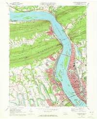
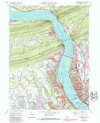
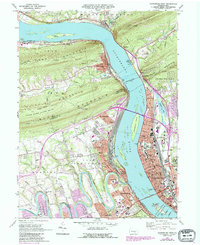
Editions of this 1969 Harrisburg West Map
4 editions found
Other maps of this area

1892 · Harrisburg
USGS Topo · 1:62,500

1899 · Harrisburg
USGS Topo · 1:62,500

1904 · Carlisle
USGS Topo · 1:62,500

1906 · New Cumberland
USGS Topo · 1:62,500

1907 · New Bloomfield
USGS Topo · 1:62,500

1924 · Harrisburg
USGS Topo · 1:62,500

1943 · New Cumberland
USGS Topo · 1:62,500

1943 · Harrisburg
USGS Topo · 1:62,500

1943 · New Bloomfield
USGS Topo · 1:62,500

1943 · Carlisle
USGS Topo · 1:62,500
Featured Places
- Harrisburg, PA
- Enola, East Pennsboro Township
- Wormleysburg, PA
- West Fairview, East Pennsboro Township
- Dauphin, PA