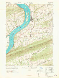
1947 Map of Halifax
USGS Topo · Published 1967About this map
The Susquehanna River dominates this mid-century landscape, carving a wide path through the ridges of Dauphin County. On its eastern bank, the town of Halifax sits as a primary hub, while across the water, New Buffalo marks the western shore. The river itself is dotted with large landforms like Clemson Island and Lingle Island, indicating a complex riparian environment before modern waterway management significantly altered these channels.
Find a feature on this map
38 named features on this map. Tap any name to fly to it.
Don’t see what you’re looking for? This feature index may not catch every label — zoom into the map to look around manually.
Map Details
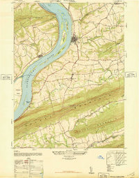
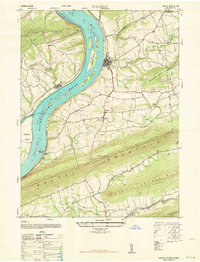
Editions of this 1947 Halifax Map
3 editions found
Other maps of this area

1892 · Harrisburg
USGS Topo · 1:62,500

1893 · Millersburg
USGS Topo · 1:62,500

1899 · Harrisburg
USGS Topo · 1:62,500

1907 · New Bloomfield
USGS Topo · 1:62,500

1907 · Millerstown
USGS Topo · 1:62,500

1924 · Harrisburg
USGS Topo · 1:62,500

1943 · Millerstown
USGS Topo · 1:62,500

1943 · Millersburg
USGS Topo · 1:62,500

1943 · Harrisburg
USGS Topo · 1:62,500

1943 · New Bloomfield
USGS Topo · 1:62,500