
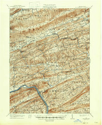
1943 Map of Millerstown
USGS Topo · Published 1943About this map
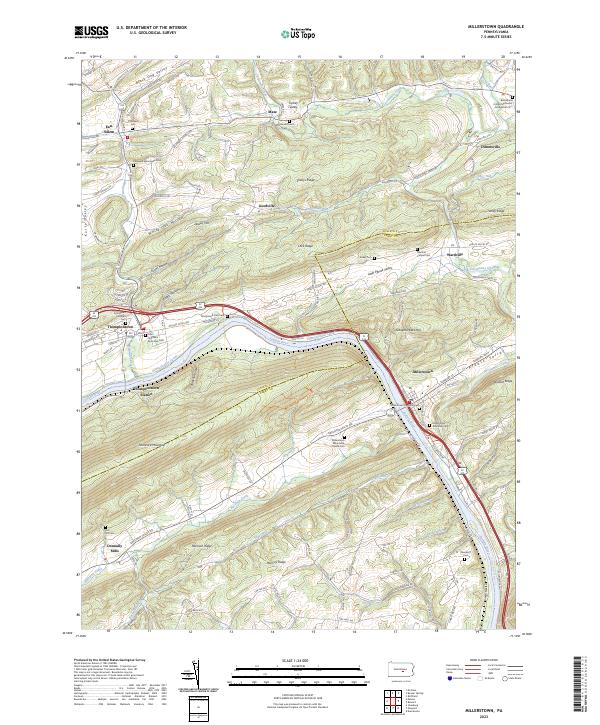
Millerstown and Thompsontown anchor this wartime survey of the central Pennsylvania ridge-and-valley province, where the Juniata River carves a path through the sandstone massifs of Tuscarora Mountain and Raccoon Ridge. The landscape is defined by long, parallel agricultural corridors like Pfoutz Valley and Greenwood Valley, which are dotted with small-scale rural infrastructure including the Hiester Valley School and Gilfillins School. Local industry is visible in the presence of the Hill Brick Co near Beaver Springs and Beers Foundry on the western edge of the quadrangle.
Find a feature on this map
86 named features on this map. Tap any name to fly to it.
Don’t see what you’re looking for? This feature index may not catch every label — zoom into the map to look around manually.
Map Details
Editions of this 1943 Millerstown Map
This is the sole edition of this map. No revisions or reprints were ever made.
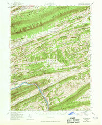
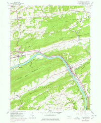
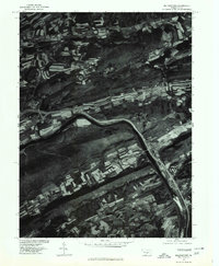
Historical Maps of Beaver Springs Through Time
6 maps found
Featured Locations
- Monroe Township, PA
- Thompsontown, PA
- Millerstown, PA
- West Perry Township, PA
- Beaver Springs, Spring Township