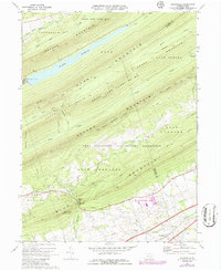
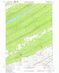
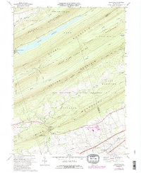
1969 Map of Grantville
USGS Topo · Published 1986About this map
Peters Mountain and Stony Mountain dominate the northern landscape of this Dauphin County region, framing the significant De Hart Reservoir. This area is characterized by heavy conservation and military use, with large tracts dedicated to State Game Lands No 210 and the southern expanse of the Fort Indiantown Gap Military Reservation. The rugged ridges are traversed by notable footpaths, including the Appalachian Trail and the Horseshoe Trail, which follow the natural contours of Sharp Mountain and Blue Mountain.
Find a feature on this map
46 named features on this map. Tap any name to fly to it.
Don’t see what you’re looking for? This feature index may not catch every label — zoom into the map to look around manually.
Map Details
Editions of this 1969 Grantville Map
6 editions found
Other maps of this area

1892 · Lykens
USGS Topo · 1:62,500

1892 · Hummelstown
USGS Topo · 1:62,500

1892 · Harrisburg
USGS Topo · 1:62,500

1893 · Lykens
USGS Topo · 1:62,500

1893 · Millersburg
USGS Topo · 1:62,500

1899 · Harrisburg
USGS Topo · 1:62,500

1924 · Hummelstown
USGS Topo · 1:62,500

1924 · Harrisburg
USGS Topo · 1:62,500

1943 · Millersburg
USGS Topo · 1:62,500

1943 · Lykens
USGS Topo · 1:62,500
Featured Places
- East Hanover Township, PA
- Jefferson Township, PA
- West Hanover Township, PA
- Union Township, PA
- Manada Gap, East Hanover Township