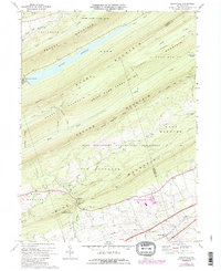
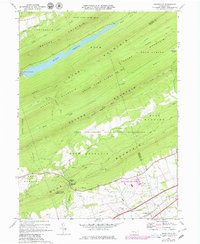
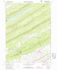
1969 Map of Grantville
USGS Topo · Published 1986About this map
Blue Mountain and a series of parallel ridges dominate this Pennsylvania landscape, where the northern reaches of the Fort Indiantown Gap Military Reservation meet the recreational and conservational lands of the interior. The settlement of Grantville sits at the southern edge, serving as a gateway to the mountains where the Horseshoe Trail and Appalachian Trail wind across the peaks. This 1969 survey, updated in the mid-1970s, illustrates the expansion of infrastructure such as Interchange 28 and the development of the Penn National Race Course near the base of the ridge. The map captures a transition from intensive military training grounds, marked by Ammo Road and several military roads, to the regulated wilderness of State Game Lands No 211. Water management is prominent in the north, where the De Hart Reservoir fills the valley between Peters Mountain and Stony Mountain.
Find a feature on this map
45 named features on this map. Tap any name to fly to it.
Don’t see what you’re looking for? This feature index may not catch every label — zoom into the map to look around manually.
Map Details
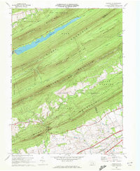
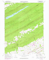
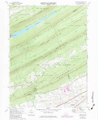
Editions of this 1969 Grantville Map
6 editions found
Other maps of this area

1892 · Lykens
USGS Topo · 1:62,500

1892 · Hummelstown
USGS Topo · 1:62,500

1892 · Harrisburg
USGS Topo · 1:62,500

1893 · Lykens
USGS Topo · 1:62,500

1893 · Millersburg
USGS Topo · 1:62,500

1899 · Harrisburg
USGS Topo · 1:62,500

1924 · Hummelstown
USGS Topo · 1:62,500

1924 · Harrisburg
USGS Topo · 1:62,500

1943 · Millersburg
USGS Topo · 1:62,500

1943 · Lykens
USGS Topo · 1:62,500
Featured Places
- East Hanover Township, PA
- Jefferson Township, PA
- West Hanover Township, PA
- Union Township, PA
- Manada Gap, East Hanover Township