2000s (21st Century) Maps of Moylan-Rose Valley Station, Nether Providence Township
Explore 5 historic maps of Moylan-Rose Valley Station from the 2000s (21st Century). These maps offer a rare glimpse into what life looked like during the 2000s — showing old roads, neighborhoods, homes, and landmarks that have changed or disappeared over time.
Whether you're researching your family's past, planning a metal detecting trip, or studying how Moylan-Rose Valley Station's landscape evolved across the 2000s, these high-resolution maps are a powerful tool for exploring the history of this region.
- Focus on a specific era: All maps on this page are from the 2000s, giving you a focused view of this time period.
- See what’s changed: Compare century-old streets, trails, and buildings to today's modern landscape using overlays and satellite layers.
- Research with precision: Use these maps for genealogy, historical research, land use analysis, or educational projects.
- View, download, or print: Maps are fully viewable online in high resolution, and can be downloaded or printed for your own records.
Start exploring Moylan-Rose Valley Station's history through authentic maps from the 2000s. This is your window into the past.
Moylan-Rose Valley Station, Nether Providence Township maps
(5)- 2010 Map of Media, 2010 Print
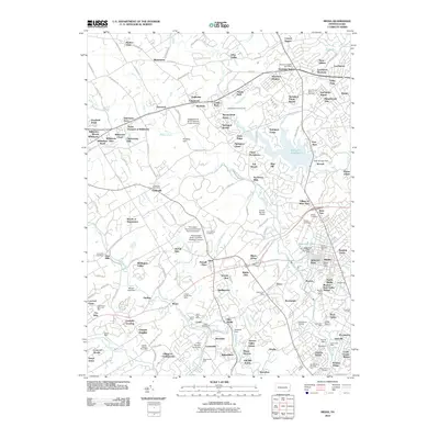 2010 Media2010 Print · USGSCovers Moylan-Rose Valley Station, including Chester, Radnor Township, and other nearby areas
 - 2013 Map of Media, 2013 Print
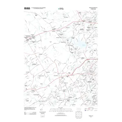 2013 Media2013 Print · USGSCovers Moylan-Rose Valley Station, including Chester, Radnor Township, and other nearby areas
 - 2016 Map of Media, 2016 Print
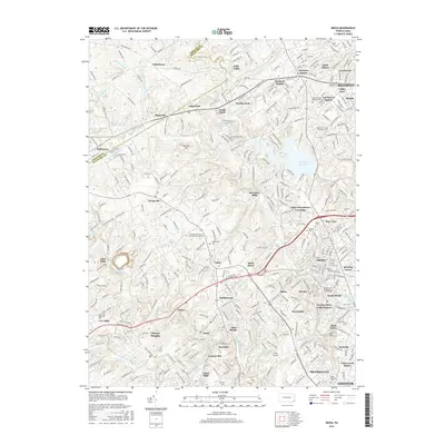 2016 Media2016 Print · USGSCovers Moylan-Rose Valley Station, including Chester, Radnor Township, and other nearby areas
 - 2019 Map of Media, 2019 Print
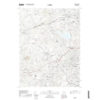 2019 Media2019 Print · USGSCovers Moylan-Rose Valley Station, including Chester, Radnor Township, and other nearby areas
 - 2023 Map of Media, 2023 Print
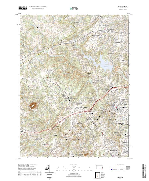 2023 Media2023 Print · USGSThe suburbs of Delaware County are shown in fine detail during the early 2020s, revealing a landscape where modern development meets centuries of Quaker history. Local researchers can trace family roots at Sandy Bank Burial Ground, the Willistown Friends Cem, and the colonial-era site of Sycamore Mills.
End of results
Showing maps 1-5 of 5
Top cities near Moylan-Rose Valley Station
- Philadelphia historical maps
- Upper Darby historical maps
- Wilmington historical maps
- Abington Township historical maps
- Chester historical maps
- Cheltenham Township historical maps
See more
Frequently asked questions
- What are the different types of historical maps available for Moylan-Rose Valley Station?
- What is the oldest map of Moylan-Rose Valley Station?
- Where can I purchase historical maps of Moylan-Rose Valley Station for my home or office?
- Where can I download high-res historical maps of Moylan-Rose Valley Station?
- Are there historical topographic maps available for Moylan-Rose Valley Station?
- Is there historical aerial imagery available for Moylan-Rose Valley Station?
- Where are historical maps of Moylan-Rose Valley Station sourced from?