Old Maps of Dagus, Fox Township for Hiking & Exploration
Hike through history with 13 historic maps of Dagus. Explore old trails, ghost towns, and forgotten backroads — perfect for outdoor adventurers and local explorers.
- Rediscover forgotten places: Map out old mining camps, roads, and footpaths that no longer exist on modern maps.
- Layer with modern tools: Combine with LiDAR or satellite views to plan hikes through historical terrain.
- Made for exploration: Popular among hikers, overlanders, and local history lovers.
Use these maps to find adventure and explore the hidden past of Dagus.
Dagus, Fox Township maps
(13)- 1941 Map of Ridgway, 1956 Print
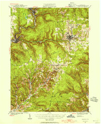 1941 Ridgway1956 Print · USGSElk County at the start of the 1940s reveals a landscape shaped by coal mining and heavy rail industry. Genealogists can locate family homes near Dagus Mines or trace the early foundations of Ridgway and St. Marys.2 unique versions available
 - 1944 Map of Ridgway
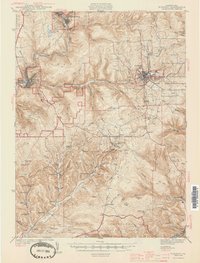 1944 Ridgway1944 Print · USGSElk County at the height of its industrial rail era reveals a landscape of coal mines and mountain settlements. Trace the operations of the Toby Mine and Kyler Mine or find family roots at Decker Chapel and Gardner Hill Sch.3 unique versions available
 - 1957 Map of Warren, 1964 Print
 1957 Warren1964 Print · USGSThe northern Pennsylvania oil and timber country comes into focus in the mid-fifties, showing the region before modern highway expansions. Trace the industrial rail networks of the Pennsylvania RR and the early Allegheny River Reservoir near Warren and Oil City.4 unique versions available
 - 1958 Map of Warren
 1958 Warren1958 Print · USGSNorthern Pennsylvania’s timber and oil country is captured here during the late fifties, showing the interplay of industrial valleys and vast state forests. Genealogists can trace family connections across the Cornplanter Indian Reservation or through rail hubs like Oil City and Saint Marys.
 - 1959 Map of Warren
 1959 Warren1959 Print · USGSNorthern Pennsylvania's oil and timber country comes alive in this late-fifties study of the forest-clad plateaus. Trace the historic Cornplanter (Indian Reservation), the sprawling Oil Field, and the rail lines of the Pennsylvania RR.2 unique versions available
 - 1970 Map of Kersey, 1972 Print
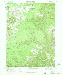 1970 Kersey1972 Print · USGSThe Elk County coal and timber country is captured here in the early seventies, showing a landscape shaped by resource extraction. Local historians can trace the Penn Central rail line and locate specific operations at Dagus Mines, Coal Hollow, and Byrnedale.3 unique versions available
 - 1971 Map of Warren
 1971 Warren1971 Print · USGSNorth Central Pennsylvania is captured here in the early seventies, showing a landscape defined by industrial centers and massive state forests. Genealogists and historians can trace the rail lines of the Penn Central and Erie Lackawanna connecting towns like Warren, Kane, and Du Bois.
 - 1983 Map of Clearfield, 1984 Print
 1983 Clearfield1984 Print · USGSPennsylvania's coal and timber heartland is captured in the early eighties as industrial hubs like Du Bois and Saint Marys thrived among the state forests. Genealogists can locate family landmarks like Morningside Cemetery, the old works at Dagus Mines, and the rural community of Byrnedale.
 - 2010 Map of Kersey, 2010 Print
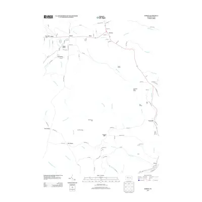
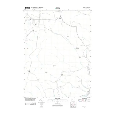 2010 Kersey2010 Print · USGSCovers Dagus, including Jay Township, Force, and other nearby areas
 - 2013 Map of Kersey, 2013 Print
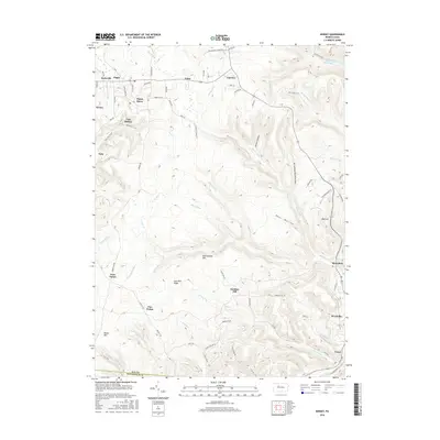
 2013 Kersey2013 Print · USGSCovers Dagus, including Jay Township, Force, and other nearby areas
 - 2016 Map of Kersey, 2016 Print
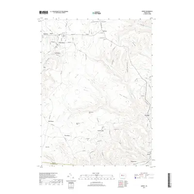
 2016 Kersey2016 Print · USGSCovers Dagus, including Jay Township, Force, and other nearby areas
 - 2019 Map of Kersey, 2019 Print
 2019 Kersey2019 Print · USGSCovers Dagus, including Jay Township, Force, and other nearby areas
 - 2023 Map of Kersey, 2023 Print
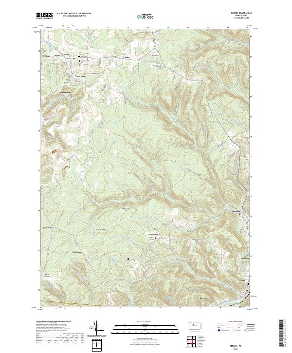 2023 Kersey2023 Print · USGSElk County at the edge of the plateau reveals a landscape shaped by early mining and mountain settlements. Genealogists can trace family names at Elkton Cem or Maria Lutheran Cem and locate industrial landmarks like Dagus Mines and Coal Hollow.
End of results
Showing maps 1-13 of 13
Top cities near Dagus
- Saint Marys historical maps
- Sandy Township historical maps
- Ridgway historical maps
- Johnsonburg historical maps
- Brockway historical maps
- Goshen Township historical maps
See more
Frequently asked questions
- What are the different types of historical maps available for Dagus?
- What is the oldest map of Dagus?
- Where can I purchase historical maps of Dagus for my home or office?
- Where can I download high-res historical maps of Dagus?
- Are there historical topographic maps available for Dagus?
- Is there historical aerial imagery available for Dagus?
- Where are historical maps of Dagus sourced from?