Old Maps of Washington Township, Pennsylvania for Metal Detecting
Plan your next treasure hunt with 31 historic maps of Washington Township. Find old homesites, ghost towns, trails, and gathering spots that may be lost to time — perfect for identifying promising metal detecting locations.
- Locate forgotten sites: Uncover places like long-lost settlements, abandoned rail lines, or gathering spots.
- Plan better hunts: Use map overlays combined with LiDAR or satellite views to narrow in on historically rich areas.
- Made for detectorists: Thousands of hobbyists use these maps to discover relics, coins, and hidden history.
Use these historic maps to boost your research and find new opportunities beneath the surface of Washington Township.
Washington Township, PA maps
(31)- 1923 Map of Cambridge Springs, 1964 Print
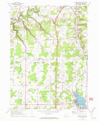
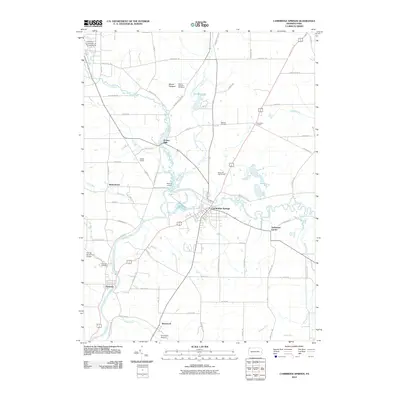
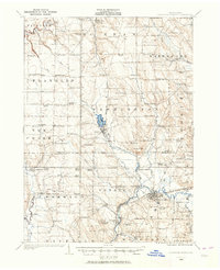 1923 Cambridge Springs1964 Print · USGSNorthwestern Pennsylvania in the 1920s reveals a landscape of rural schoolhouses and electric rail lines. Genealogists can trace family roots through numerous local landmarks like Saints Church, Carmel Cem, and the specialized Northwestern Electric railroad stops.
 - 1925 Map of Cambridge Springs
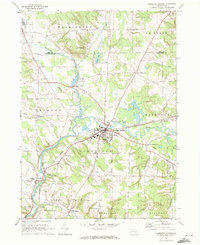
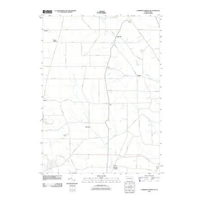
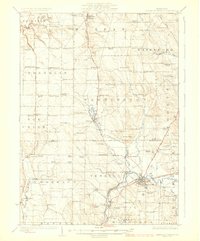 1925 Cambridge Springs1925 Print · USGSNorthwestern Pennsylvania in the mid-1920s shows a landscape of busy crossroads and river towns connected by expanding rail lines. Genealogists can locate family-named sites like Mishler Corners and dozens of country schools such as Strong School and Sedgwick School.4 unique versions available
 - 1943 Map of Cambridge Springs
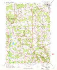
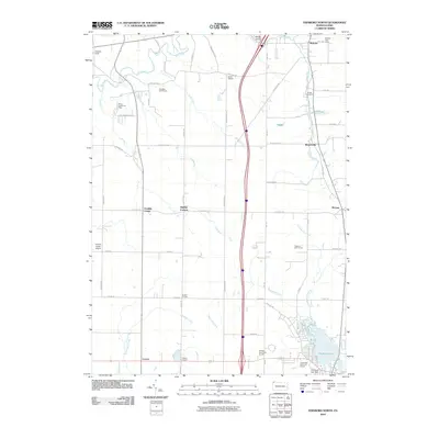
 1943 Cambridge Springs1943 Print · USGSNorthwestern Pennsylvania in the early 1940s is shown as a thriving network of small schoolhouses and rail junctions. Genealogists can locate family landmarks like Mitchell Cem, the village of Edinboro, and rural hubs such as Drakes Mills.
 - 1950 Map of Cleveland
 1950 Cleveland1950 Print · USGSCovers Washington Township, including Cleveland, Akron, and other nearby areas
 - 1956 Map of Cleveland, 1967 Print
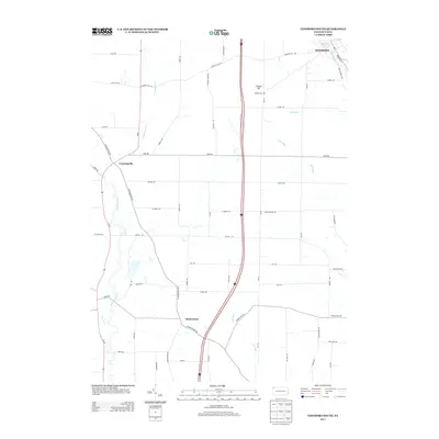
 1956 Cleveland1967 Print · USGSNortheast Ohio and Western Pennsylvania are shown at their industrial height during the mid-fifties, from the steel mills to the lakeshore. Researchers can trace the massive Ravenna Arsenal, the Ohio Turnpike, and vanished rail sidings of the B & O RR.3 unique versions available
 - 1962 Map of Cleveland
 1962 Cleveland1962 Print · USGSNortheast Ohio and the Pennsylvania borderlands appear here during the industrial peak of the early sixties. Genealogists and historians can trace the expansive rail lines of the Nickel Plate Road and the growth of suburbs from Parma to Lyndhurst.
 - 1967 Map of Cambridge Springs NE, 1972 Print
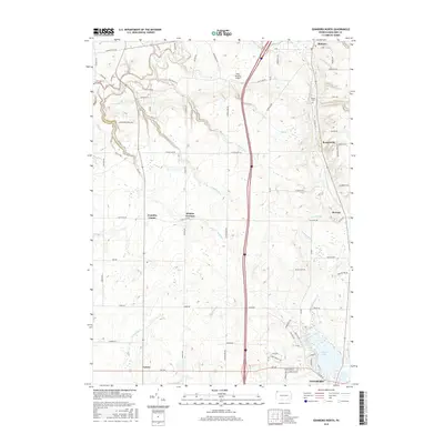
 1967 Cambridge Springs NE1972 Print · USGSSouthern Erie County in the late sixties reveals a landscape of enduring rural crossroads and family homesteads. Genealogists can trace the locales of Sibleyville, Draketown, and Edinboro alongside landmarks like Washington Valley Church.3 unique versions available
 - 1967 Map of Edinboro North, 1972 Print
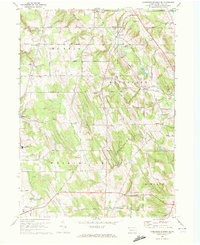
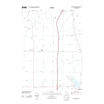
 1967 Edinboro North1972 Print · USGSErie County's southern townships and the shores of Edinboro Lake are shown here as they appeared in the late sixties. Researchers can trace rural lineages through local landmarks like Golden Cem, McKean Sch, and the crossroads at Mishler Corners.3 unique versions available
 - 1968 Map of Cambridge Springs, 1972 Print
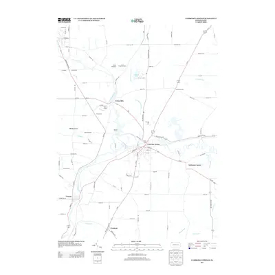
 1968 Cambridge Springs1972 Print · USGSCambridge Springs and the French Creek valley are captured here in the late sixties, showing a landscape defined by collegiate life and rail history. Researchers can trace family roots at Mitchell Cem, locate the Alliance College campus, or follow the Erie-Lackawanna line through Drakes Mills.2 unique versions available
 - 1968 Map of Edinboro South, 1972 Print
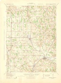
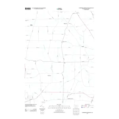
 1968 Edinboro South1972 Print · USGSCrawford County's rural landscape is captured here in the late sixties as agricultural patterns and early interstate-era changes shaped the region. Researchers can locate family landmarks like St James Cem, trace the winding Cussewago Creek, or study the rural hub of Crossingville.3 unique versions available
 - 1986 Map of Ashtabula
 1986 Ashtabula1986 Print · USGSThe Lake Erie shoreline and the rural borderlands of Ohio and Pennsylvania are captured here as they appeared in the 1980s. You can trace industrial rail lines like the BESSEMER AND LAKE ERIE or locate family sites near Kelloggsville Cem and Pymatuning State Park.2 unique versions available
 - 2010 Map of Edinboro South, 2010 Print
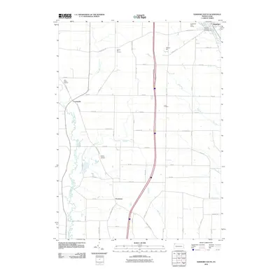 2010 Edinboro South2010 Print · USGSCovers Washington Township, including Edinboro, Mosiertown, and other nearby areas
 - 2010 Map of Cambridge Springs, 2010 Print
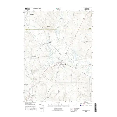
 2010 Cambridge Springs2010 Print · USGSCovers Washington Township, including Cambridge Springs, Venango, and other nearby areas
 - 2010 Map of Cambridge Springs NE, 2010 Print
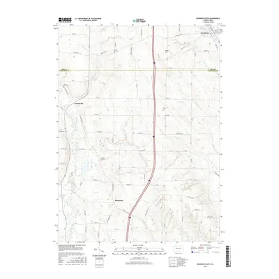
 2010 Cambridge Springs NE2010 Print · USGSCovers Washington Township, including McKean Township, McLallen Corners, and other nearby areas
 - 2010 Map of Edinboro North, 2010 Print
 2010 Edinboro North2010 Print · USGSCovers Washington Township, including Fairview Township, McKean, and other nearby areas
 - 2013 Map of Edinboro South, 2013 Print
 2013 Edinboro South2013 Print · USGSCovers Washington Township, including Edinboro, Mosiertown, and other nearby areas
 - 2013 Map of Edinboro North, 2013 Print
 2013 Edinboro North2013 Print · USGSCovers Washington Township, including Fairview Township, McKean, and other nearby areas
 - 2013 Map of Cambridge Springs, 2013 Print
 2013 Cambridge Springs2013 Print · USGSCovers Washington Township, including Cambridge Springs, Venango, and other nearby areas
 - 2013 Map of Cambridge Springs NE, 2013 Print
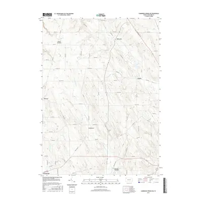
 2013 Cambridge Springs NE2013 Print · USGSCovers Washington Township, including McKean Township, McLallen Corners, and other nearby areas
 - 2016 Map of Edinboro North, 2016 Print
 2016 Edinboro North2016 Print · USGSCovers Washington Township, including Fairview Township, McKean, and other nearby areas
 - 2016 Map of Edinboro South, 2016 Print
 2016 Edinboro South2016 Print · USGSCovers Washington Township, including Edinboro, Mosiertown, and other nearby areas
 - 2016 Map of Cambridge Springs, 2016 Print
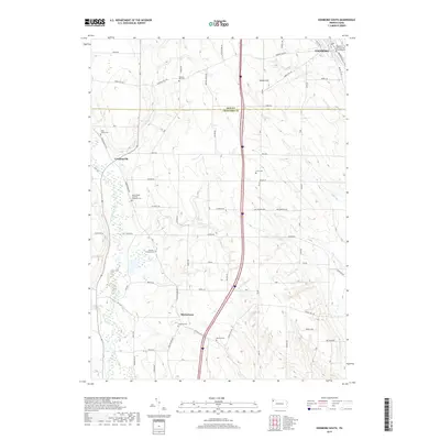
 2016 Cambridge Springs2016 Print · USGSCovers Washington Township, including Cambridge Springs, Venango, and other nearby areas
 - 2016 Map of Cambridge Springs NE, 2016 Print
 2016 Cambridge Springs NE2016 Print · USGSCovers Washington Township, including McKean Township, McLallen Corners, and other nearby areas
 - 2019 Map of Edinboro South, 2019 Print
 2019 Edinboro South2019 Print · USGSCovers Washington Township, including Edinboro, Mosiertown, and other nearby areas
 - 2019 Map of Edinboro North, 2019 Print
 2019 Edinboro North2019 Print · USGSCovers Washington Township, including Fairview Township, McKean, and other nearby areas
Showing maps 1-25 of 31
Top cities near Washington Township
- Erie historical maps
- Harborcreek Township historical maps
- Fairview Township historical maps
- Edinboro historical maps
- Girard historical maps
- Cambridge Springs historical maps
See more
Top neighborhoods of Washington Township
Frequently asked questions
- What are the different types of historical maps available for Washington Township?
- What is the oldest map of Washington Township?
- Where can I purchase historical maps of Washington Township for my home or office?
- Where can I download high-res historical maps of Washington Township?
- Are there historical topographic maps available for Washington Township?
- Is there historical aerial imagery available for Washington Township?
- Where are historical maps of Washington Township sourced from?