2000s (21st Century) Maps of Franklin Township, Pennsylvania
Explore 20 historic maps of Franklin Township from the 2000s (21st Century). These maps offer a rare glimpse into what life looked like during the 2000s — showing old roads, neighborhoods, homes, and landmarks that have changed or disappeared over time.
Whether you're researching your family's past, planning a metal detecting trip, or studying how Franklin Township's landscape evolved across the 2000s, these high-resolution maps are a powerful tool for exploring the history of this region.
- Focus on a specific era: All maps on this page are from the 2000s, giving you a focused view of this time period.
- See what’s changed: Compare century-old streets, trails, and buildings to today's modern landscape using overlays and satellite layers.
- Research with precision: Use these maps for genealogy, historical research, land use analysis, or educational projects.
- View, download, or print: Maps are fully viewable online in high resolution, and can be downloaded or printed for your own records.
Start exploring Franklin Township's history through authentic maps from the 2000s. This is your window into the past.
Franklin Township, PA maps
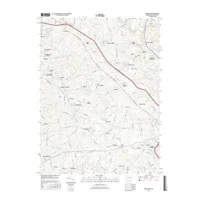
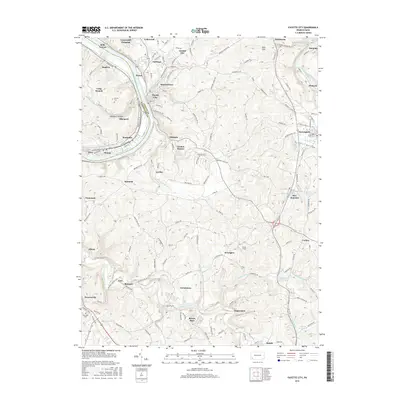
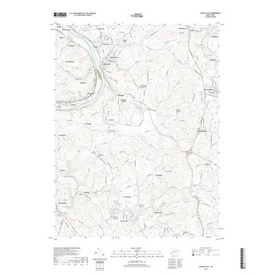
(20)- 2010 Map of Fayette City, 2010 Print
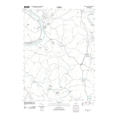 2010 Fayette City2010 Print · USGSCovers Franklin Township, including Redstone, Perryopolis, and other nearby areas
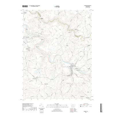
 - 2010 Map of Dawson, 2010 Print
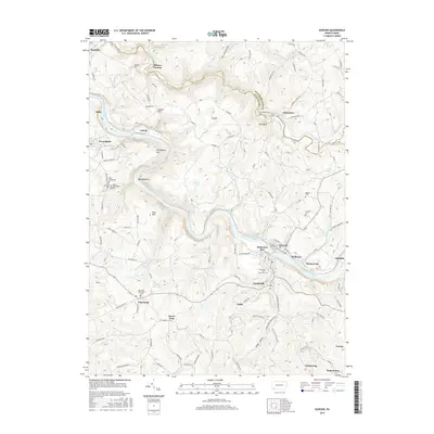
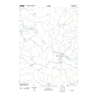 2010 Dawson2010 Print · USGSCovers Franklin Township, including Vanderbilt, Dawson, and other nearby areas
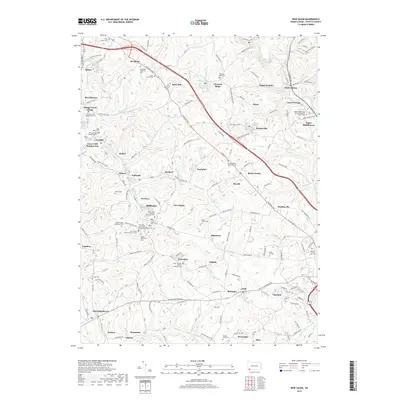
 - 2010 Map of New Salem, 2010 Print
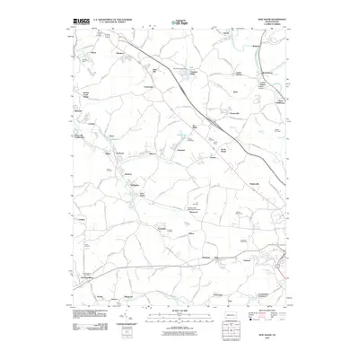 2010 New Salem2010 Print · USGSCovers Franklin Township, including Luzerne Township, North Union Township, and other nearby areas
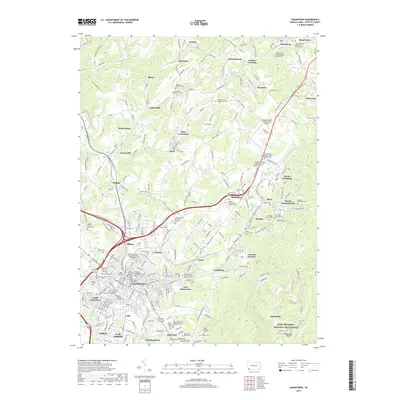
 - 2010 Map of Uniontown, 2010 Print
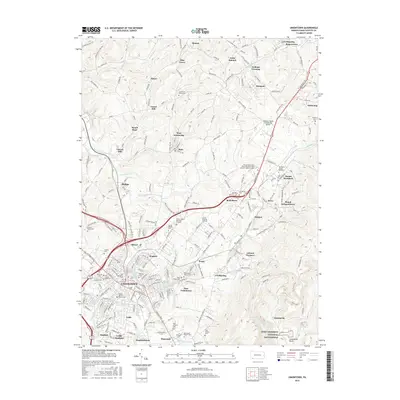
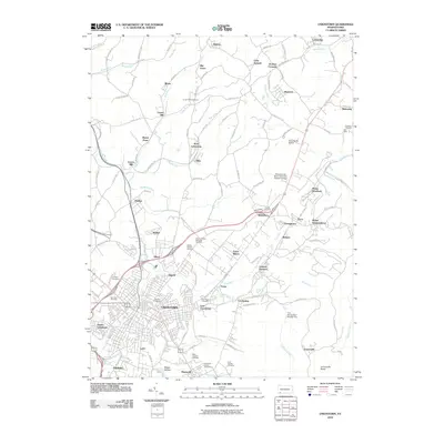 2010 Uniontown2010 Print · USGSCovers Franklin Township, including Uniontown, North Union Township, and other nearby areas
 - 2013 Map of New Salem, 2013 Print
 2013 New Salem2013 Print · USGSCovers Franklin Township, including Luzerne Township, North Union Township, and other nearby areas
 - 2013 Map of Fayette City, 2013 Print
 2013 Fayette City2013 Print · USGSCovers Franklin Township, including Redstone, Perryopolis, and other nearby areas
 - 2013 Map of Dawson, 2013 Print
 2013 Dawson2013 Print · USGSCovers Franklin Township, including Vanderbilt, Dawson, and other nearby areas
 - 2013 Map of Uniontown, 2013 Print
 2013 Uniontown2013 Print · USGSCovers Franklin Township, including Uniontown, North Union Township, and other nearby areas
 - 2016 Map of New Salem, 2016 Print
 2016 New Salem2016 Print · USGSCovers Franklin Township, including Luzerne Township, North Union Township, and other nearby areas
 - 2016 Map of Uniontown, 2016 Print
 2016 Uniontown2016 Print · USGSCovers Franklin Township, including Uniontown, North Union Township, and other nearby areas
 - 2016 Map of Dawson, 2016 Print
 2016 Dawson2016 Print · USGSCovers Franklin Township, including Vanderbilt, Dawson, and other nearby areas
 - 2016 Map of Fayette City, 2016 Print
 2016 Fayette City2016 Print · USGSCovers Franklin Township, including Redstone, Perryopolis, and other nearby areas
 - 2019 Map of Fayette City, 2019 Print
 2019 Fayette City2019 Print · USGSCovers Franklin Township, including Redstone, Perryopolis, and other nearby areas
 - 2019 Map of Dawson, 2019 Print
 2019 Dawson2019 Print · USGSCovers Franklin Township, including Vanderbilt, Dawson, and other nearby areas
 - 2019 Map of New Salem, 2019 Print
 2019 New Salem2019 Print · USGSCovers Franklin Township, including Luzerne Township, North Union Township, and other nearby areas
 - 2019 Map of Uniontown, 2019 Print
 2019 Uniontown2019 Print · USGSCovers Franklin Township, including Uniontown, North Union Township, and other nearby areas
 - 2023 Map of New Salem, 2023 Print
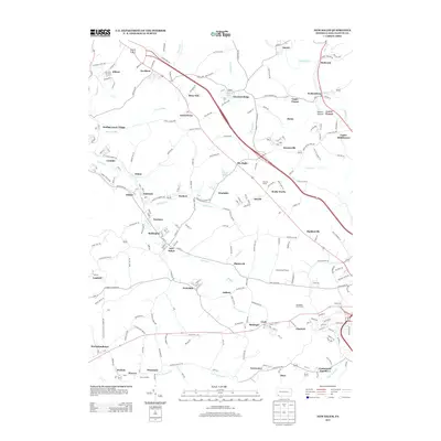
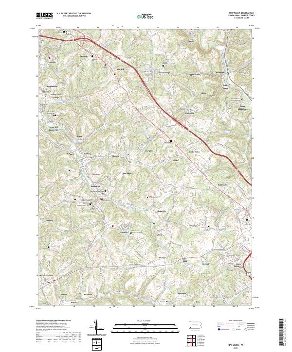 2023 New Salem2023 Print · USGSThe coal-country landscape near New Salem comes into focus in this recent survey. Genealogists can locate family burial sites at Saint Mary's Cem or Salem View Cem and trace the small residential clusters of Upper Peanut and Keisterville.
 - 2023 Map of Uniontown, 2023 Print
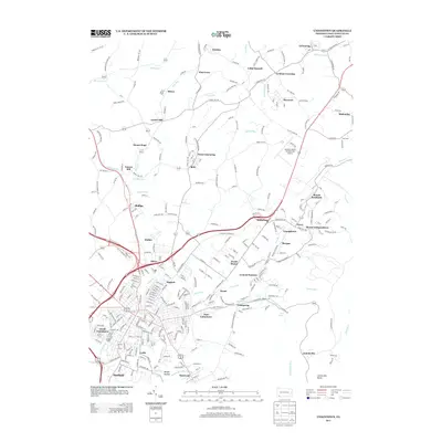
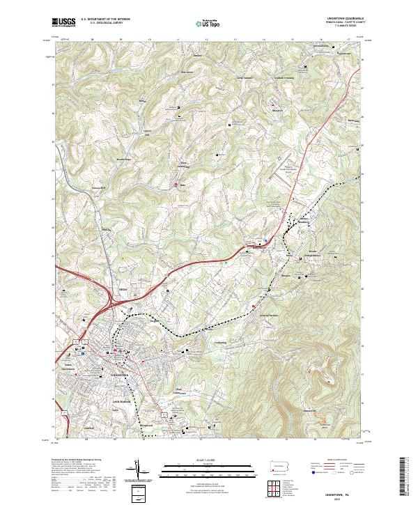 2023 Uniontown2023 Print · USGSThe Fayette County seat and its surrounding coal-patch heritage are captured here in the 2020s. Genealogists can trace family names through dozens of sites like Old Laurel Hill Presbyterian Cem and the Zaring-Matthews Cem.
 - 2023 Map of Dawson, 2023 Print
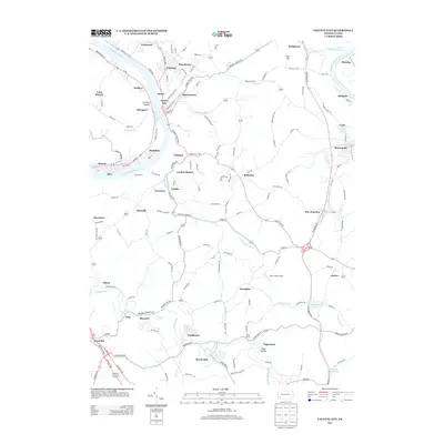
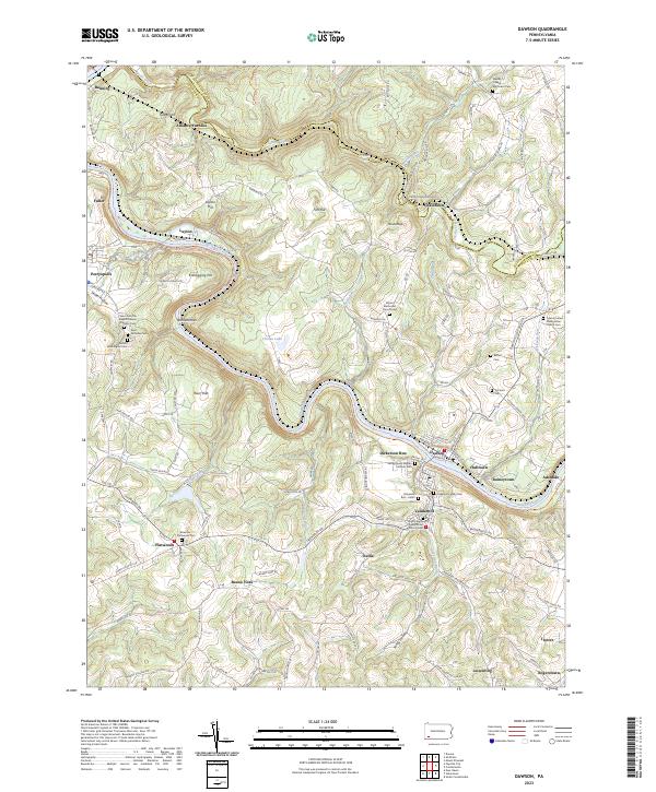 2023 Dawson2023 Print · USGSThe Youghiogheny River corridor in Fayette County comes alive in this contemporary survey of its historic river towns and industrial roots. Researchers can trace genealogical ties at the Dickerson Family Cem or explore early industry at the Alliance Furnace and Kilndigging Hill.
 - 2023 Map of Fayette City, 2023 Print
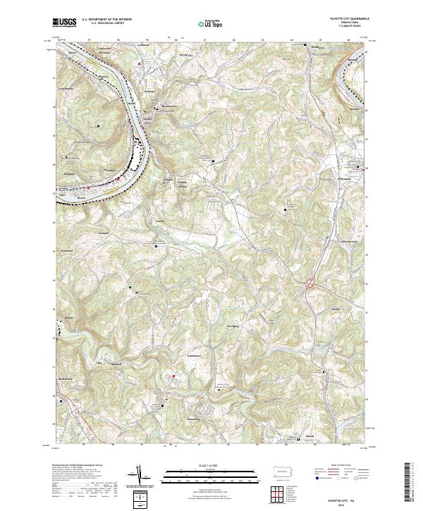 2023 Fayette City2023 Print · USGSFayette and Washington counties meet along the Monongahela River valley during a period of modern transition. Local historians can trace numerous pioneer burial sites and family plots, including the Providence Meeting House Cem, Havely Cem, and the riverside rail corridor of the Wheeling-Pitts RR.
End of results
Showing maps 1-20 of 20
Top cities near Franklin Township
- Uniontown historical maps
- Connellsville historical maps
- Monessen historical maps
- California historical maps
- Luzerne Township historical maps
- Redstone historical maps
See more
Top neighborhoods of Franklin Township
- Curfew historical maps
- Juniata historical maps
- Mount Hope historical maps
- Buena Vista historical maps
- Bitner historical maps
- Elm Grove historical maps
See more
Frequently asked questions
- What are the different types of historical maps available for Franklin Township?
- What is the oldest map of Franklin Township?
- Where can I purchase historical maps of Franklin Township for my home or office?
- Where can I download high-res historical maps of Franklin Township?
- Are there historical topographic maps available for Franklin Township?
- Is there historical aerial imagery available for Franklin Township?
- Where are historical maps of Franklin Township sourced from?