2000s (21st Century) Maps of Henry Clay Township, Pennsylvania
Explore 25 historic maps of Henry Clay Township from the 2000s (21st Century). These maps offer a rare glimpse into what life looked like during the 2000s — showing old roads, neighborhoods, homes, and landmarks that have changed or disappeared over time.
Whether you're researching your family's past, planning a metal detecting trip, or studying how Henry Clay Township's landscape evolved across the 2000s, these high-resolution maps are a powerful tool for exploring the history of this region.
- Focus on a specific era: All maps on this page are from the 2000s, giving you a focused view of this time period.
- See what’s changed: Compare century-old streets, trails, and buildings to today's modern landscape using overlays and satellite layers.
- Research with precision: Use these maps for genealogy, historical research, land use analysis, or educational projects.
- View, download, or print: Maps are fully viewable online in high resolution, and can be downloaded or printed for your own records.
Start exploring Henry Clay Township's history through authentic maps from the 2000s. This is your window into the past.
Henry Clay Township, PA maps
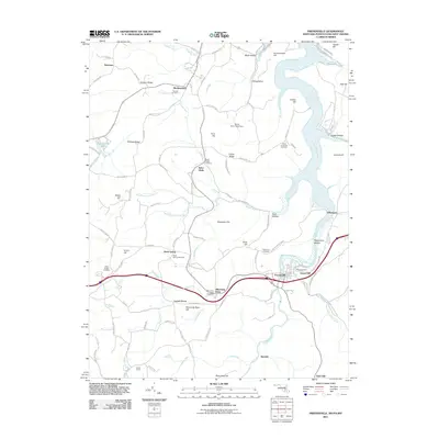
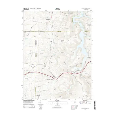
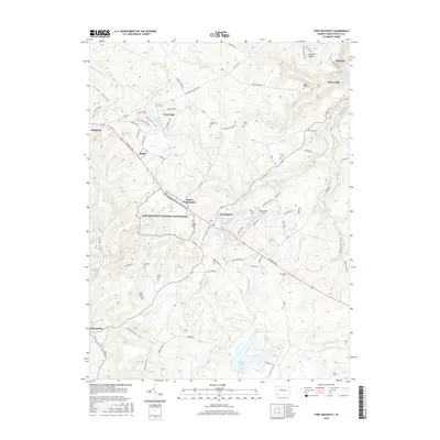
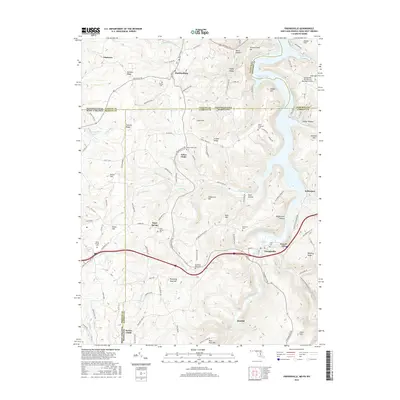
(25)- 2010 Map of Fort Necessity, 2010 Print
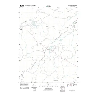 2010 Fort Necessity2010 Print · USGSCovers Henry Clay Township, including Farmington, Chalkhill, and other nearby areas
 - 2010 Map of Ohiopyle, 2010 Print
 2010 Ohiopyle2010 Print · USGSCovers Henry Clay Township, including Ohiopyle, Lower Turkeyfoot Township, and other nearby areas
 - 2010 Map of Confluence, 2010 Print
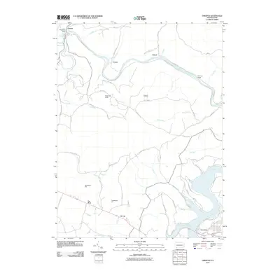
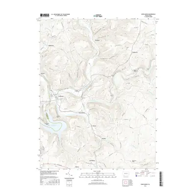
 2010 Confluence2010 Print · USGSCovers Henry Clay Township, including Confluence, Ursina, and other nearby areas
 - 2011 Map of Brandonville, 2011 Print
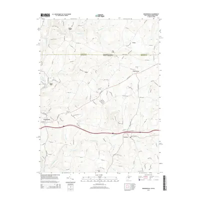
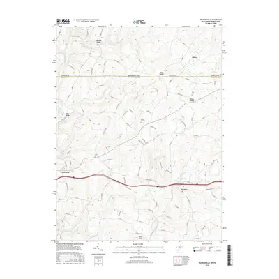
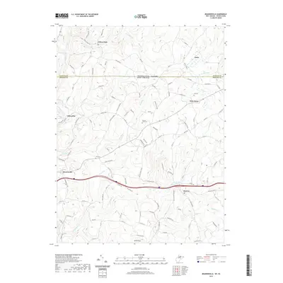
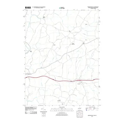 2011 Brandonville2011 Print · USGSCovers Henry Clay Township, including Brandonville, Hazelton, and other nearby areas
 - 2011 Map of Friendsville, 2011 Print
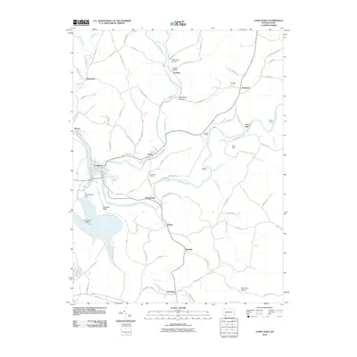
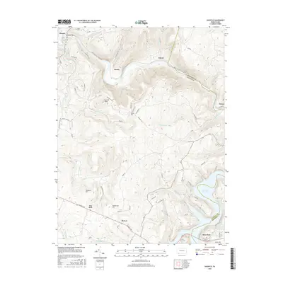
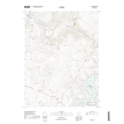
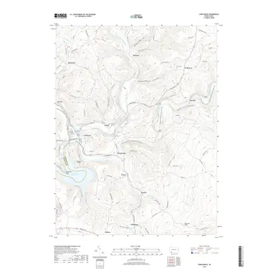
 2011 Friendsville2011 Print · USGSCovers Henry Clay Township, including Friendsville, Markleysburg, and other nearby areas
 - 2013 Map of Ohiopyle, 2013 Print
 2013 Ohiopyle2013 Print · USGSCovers Henry Clay Township, including Ohiopyle, Lower Turkeyfoot Township, and other nearby areas
 - 2013 Map of Confluence, 2013 Print
 2013 Confluence2013 Print · USGSCovers Henry Clay Township, including Confluence, Ursina, and other nearby areas
 - 2013 Map of Fort Necessity, 2013 Print
 2013 Fort Necessity2013 Print · USGSCovers Henry Clay Township, including Farmington, Chalkhill, and other nearby areas
 - 2014 Map of Brandonville, 2014 Print
 2014 Brandonville2014 Print · USGSCovers Henry Clay Township, including Brandonville, Hazelton, and other nearby areas
 - 2014 Map of Friendsville, 2014 Print
 2014 Friendsville2014 Print · USGSCovers Henry Clay Township, including Friendsville, Markleysburg, and other nearby areas
 - 2016 Map of Confluence, 2016 Print
 2016 Confluence2016 Print · USGSCovers Henry Clay Township, including Confluence, Ursina, and other nearby areas
 - 2016 Map of Fort Necessity, 2016 Print
 2016 Fort Necessity2016 Print · USGSCovers Henry Clay Township, including Farmington, Chalkhill, and other nearby areas
 - 2016 Map of Ohiopyle, 2016 Print
 2016 Ohiopyle2016 Print · USGSCovers Henry Clay Township, including Ohiopyle, Lower Turkeyfoot Township, and other nearby areas
 - 2016 Map of Friendsville, 2016 Print
 2016 Friendsville2016 Print · USGSCovers Henry Clay Township, including Friendsville, Markleysburg, and other nearby areas
 - 2016 Map of Brandonville, 2016 Print
 2016 Brandonville2016 Print · USGSCovers Henry Clay Township, including Brandonville, Hazelton, and other nearby areas
 - 2019 Map of Fort Necessity, 2019 Print
 2019 Fort Necessity2019 Print · USGSCovers Henry Clay Township, including Farmington, Chalkhill, and other nearby areas
 - 2019 Map of Ohiopyle, 2019 Print
 2019 Ohiopyle2019 Print · USGSCovers Henry Clay Township, including Ohiopyle, Lower Turkeyfoot Township, and other nearby areas
 - 2019 Map of Confluence, 2019 Print
 2019 Confluence2019 Print · USGSCovers Henry Clay Township, including Confluence, Ursina, and other nearby areas
 - 2019 Map of Friendsville, 2019 Print
 2019 Friendsville2019 Print · USGSCovers Henry Clay Township, including Friendsville, Markleysburg, and other nearby areas
 - 2019 Map of Brandonville, 2019 Print
 2019 Brandonville2019 Print · USGSCovers Henry Clay Township, including Brandonville, Hazelton, and other nearby areas
 - 2023 Map of Confluence, 2023 Print
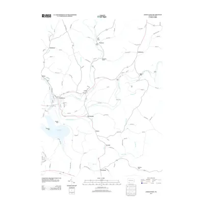
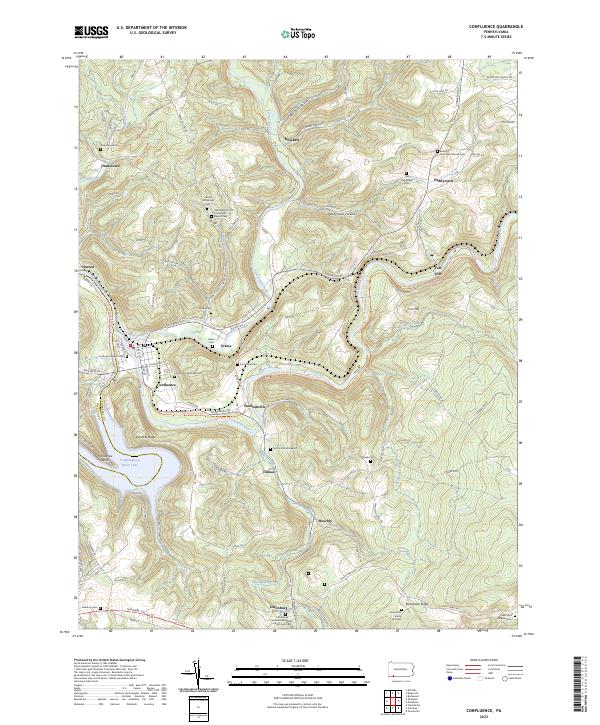 2023 Confluence2023 Print · USGSThe river valleys of Somerset County meet at the turn of the Youghiogheny, where high ridges overlook old river-town settlements. Genealogists can trace family lines at the Old Jersey Church Turkeyfoot Baptist Cemetery, McClintock Graveyard, and Boardman Burial Grounds.
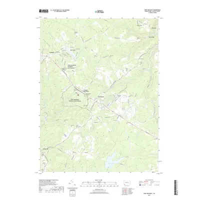
 - 2023 Map of Fort Necessity, 2023 Print
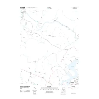
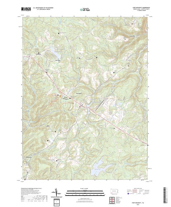 2023 Fort Necessity2023 Print · USGSFayette County’s colonial frontier is preserved here in modern detail, centered on the French and Indian War grounds of the 1750s. Genealogists can trace family lineage through numerous rural burial sites like the Cromwell Family Cem and the General Edward Braddock Gravesite.
 - 2023 Map of Ohiopyle, 2023 Print
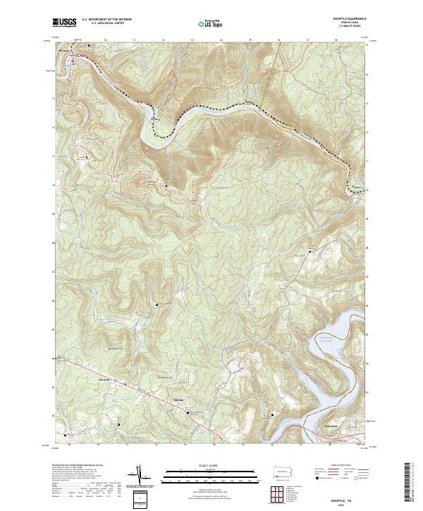 2023 Ohiopyle2023 Print · USGSThe Pennsylvania highlands between Fayette and Somerset counties are shown here in modern detail. Trace family history through numerous small burial sites like Tressler Farm Cemetery and Bird-Burd Cemetery or locate the historic National Pike.
 - 2023 Map of Friendsville, 2023 Print
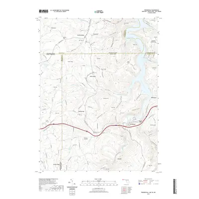
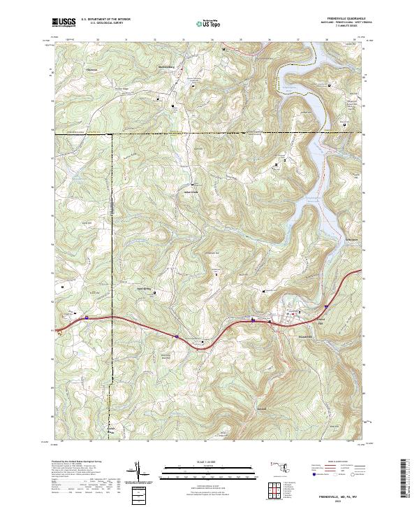 2023 Friendsville2023 Print · USGSThe tri-state border country of Maryland, Pennsylvania, and West Virginia is captured here in the contemporary era. Genealogists can trace deep local roots through numerous family sites like the Friend Family Cem and the Harden - Humberton Burial Ground.
 - 2023 Map of Brandonville, 2023 Print
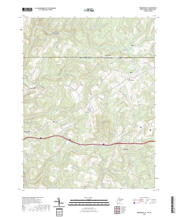 2023 Brandonville2023 Print · USGSThe West Virginia-Pennsylvania borderlands come into focus here, where the Mason-Dixon Rd divides the highland communities in the early twenty-first century. Researchers can trace family sites near Clifton Mills or locate local burials at Teets Cem and Union Cem.
End of results
Showing maps 1-25 of 25
Top cities near Henry Clay Township
- Connellsville historical maps
- South Connellsville historical maps
- Dunbar historical maps
- Confluence historical maps
- Farmington historical maps
- Friendsville historical maps
See more
Top neighborhoods of Henry Clay Township
Frequently asked questions
- What are the different types of historical maps available for Henry Clay Township?
- What is the oldest map of Henry Clay Township?
- Where can I purchase historical maps of Henry Clay Township for my home or office?
- Where can I download high-res historical maps of Henry Clay Township?
- Are there historical topographic maps available for Henry Clay Township?
- Is there historical aerial imagery available for Henry Clay Township?
- Where are historical maps of Henry Clay Township sourced from?