Old Maps of Waynesboro, Pennsylvania for Academic Research
Study the evolution of Waynesboro with 24 high-resolution historic maps. Whether you're teaching, researching, or modeling changes in land use, these maps provide essential visual documentation of urban, environmental, and geographic change.
- Analyze long-term change: Track patterns in development, transportation, and natural features.
- Ideal for environmental or urban studies: Support academic projects with primary historical map data.
- Use in the classroom or lab: Educators and researchers rely on these maps to bring historical context to life.
These maps are a powerful tool for teaching, research, and visualizing how Waynesboro has changed over the decades.
Waynesboro, PA maps
(24)- 1902 Map of Chambersburg
 1902 Chambersburg1902 Print · USGSFranklin County at the dawn of the new century shows a thriving valley dominated by the rail lines connecting Chambersburg, Greencastle, and Waynesboro. Genealogists and historians can trace long-gone stops and industrial sites like Guilford Siding, Browns Mills, and the Pond Bank iron area.7 unique versions available
 - 1909 Map of Hagerstown
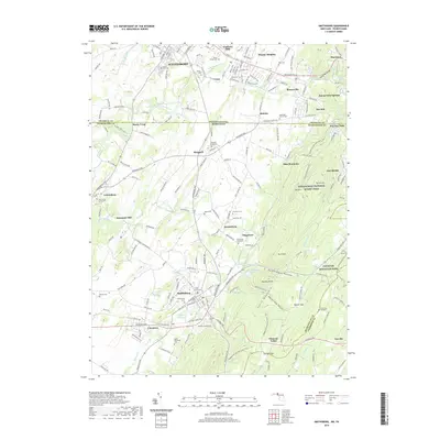
 1909 Hagerstown1909 Print · USGSHagerstown and the Antietam valley appear here during the height of the steam rail era, shortly after the turn of the century. Genealogists and historians can locate family homesteads near landmarks like St James Church, Smoketown School, and the Hagerstown and Boonsboro Ry.
 - 1912 Map of Hagerstown
 1912 Hagerstown1912 Print · USGSMaryland's Cumberland Valley flourished as a rail and milling corridor during the early twentieth century. Genealogists can trace family names across dozens of rural landmarks like Strites Mill, Hallowell Church, and the Paradise School.9 unique versions available
 - 1942 Map of Hagerstown
 1942 Hagerstown1942 Print · USGSThe Cumberland Valley and Potomac corridor are captured here at the height of the Second World War rail-and-river era. Genealogists and historians can trace the industrial landscape of Richmond Furnace, the route of the Chesapeake and Ohio Canal, and the grounds of Camp Ritchie.
 - 1943 Map of Hagerstown
 1943 Hagerstown1943 Print · USGSThe Cumberland Valley was a critical wartime logistics hub in the 1940s, teeming with rail traffic and new military installations. Genealogists and historians can trace the Chesapeake and Ohio Canal or locate local landmarks like Richmond Furnace and Camp Ritchie.
 - 1943 Map of Chambersburg, 1955 Print
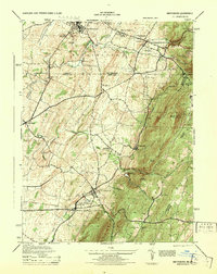
 1943 Chambersburg1955 Print · USGSChambersburg and the Cumberland Valley are seen here during the war years, dominated by the massive Letterkenny Ordnance Depot and active rail lines. Genealogists can trace family names through dozens of rural landmarks like Salem Ch and the Pennsylvania Soldiers Orphan Sch.3 unique versions available
 - 1944 Map of Waynesboro
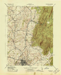 1944 Waynesboro1944 Print · USGSFranklin County at the height of the Second World War shows a landscape of busy rail sidings and mountain institutions. Genealogists can trace family footprints across dozens of local landmarks, from Ryder School and Five Forks to the sprawling Mont Alto Sanatorium Grounds.5 unique versions available
 - 1944 Map of Smithsburg
 1944 Smithsburg1944 Print · USGSThe Mason-Dixon line divides this 1940s landscape where industrial valley towns meet the high ridgelines of the South Mountain range. Researchers can trace historic family landmarks and wartime activity at Camp Ritchie, Greensburg School, and Bowmans Mill.2 unique versions available
 - 1948 Map of Baltimore
 1948 Baltimore1948 Print · USGSMaryland and Pennsylvania crossroads are captured in the late 1940s, showing a landscape defined by historic rail lines and major military installations. Genealogists can trace family connections in Gettysburg, Westminster, and near the U.S. Naval Academy in Annapolis.2 unique versions available
 - 1953 Map of Smithsburg, 1955 Print
 1953 Smithsburg1955 Print · USGSThe Maryland-Pennsylvania borderlands come alive in the early 1950s, showing the intersection of ridge-top recreation and valley agriculture. Researchers can trace the Mason and Dixon Line, locate historic sites like Pen Mar Park, and follow the Western Maryland rail line.5 unique versions available
 - 1954 Map of Baltimore
 1954 Baltimore1954 Print · USGSThe Mid-Atlantic region in the early fifties shows a landscape of growing suburban centers and heavy rail corridors. Trace mid-century transit networks and military landmarks from the Aberdeen Proving Ground to the Gettysburg National Military Park.
 - 1956 Map of Baltimore
 1956 Baltimore1956 Print · USGSMid-century Maryland and Pennsylvania are captured here during a period of massive suburban and military growth across the Chesapeake region. Genealogists and historians can trace the rail corridors of the Baltimore & Ohio RR and locate landmarks like Fort McHenry or the Aberdeen Proving Ground.
 - 1957 Map of Baltimore, 1964 Print
 1957 Baltimore1964 Print · USGSMaryland and Southern Pennsylvania are shown during the mid-century expansion of the Baltimore-Washington corridor. Researchers can trace the extensive rail lines of the Baltimore & Ohio RR and locate sites like Fort Detrick and Gettysburg National Military Park.5 unique versions available
 - 1961 Map of Baltimore
 1961 Baltimore1961 Print · USGSMaryland and Pennsylvania are captured at a mid-century peak of industrial and military expansion. Genealogists and historians can trace rail corridors like the Western Maryland Ry or locate regional landmarks such as Camp Detrick and Kent Island.
 - 1983 Map of Hagerstown, 1984 Print
 1983 Hagerstown1984 Print · USGSThe tri-state borderlands of Maryland, Pennsylvania, and West Virginia are shown in the early eighties as a hub of military installations and valley towns. Genealogists and historians can trace the landscape from Gettysburg National Military Park to the banks of the Potomac River.2 unique versions available
 - 1989 Map of Baltimore
 1989 Baltimore1989 Print · USGSThe Mid-Atlantic corridor in the late eighties is captured here, from the Baltimore harbor to the Blue Ridge foothills. Researchers can trace the sprawling footprints of Aberdeen Proving Ground, the historic grounds of Gettysburg National Military Park, and the winding Susquehanna River.
 - 1990 Map of Waynesboro, 1995 Print
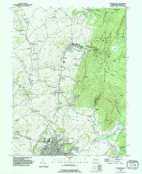 1990 Waynesboro1995 Print · USGSIn the 1990s, the area around Waynesboro maintained its balance of valley agriculture and forested mountain slopes. Genealogists can trace family names at Nunnery Cem, Quinsonia, and the Penn State University Mont Alto Campus.
 - 1994 Map of Smithsburg, 1999 Print
 1994 Smithsburg1999 Print · USGSThe Maryland-Pennsylvania borderlands come into focus in the 1990s, where the Mason and Dixon Line cuts through the ridges of South Mountain. Genealogists and local historians can trace legacy sites like Weltys Cem, Bowmans Mill, and the mountain resort heritage of Pen Mar.
 - 2011 Map of Smithsburg, 2011 Print
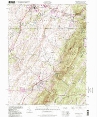
 2011 Smithsburg2011 Print · USGSCovers Waynesboro, including Smithsburg, Wayne Heights, and other nearby areas
 - 2014 Map of Smithsburg, 2014 Print
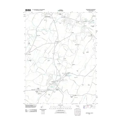
 2014 Smithsburg2014 Print · USGSCovers Waynesboro, including Smithsburg, Wayne Heights, and other nearby areas
 - 2016 Map of Smithsburg, 2016 Print
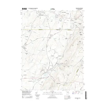
 2016 Smithsburg2016 Print · USGSCovers Waynesboro, including Smithsburg, Wayne Heights, and other nearby areas
 - 2019 Map of Smithsburg, 2019 Print
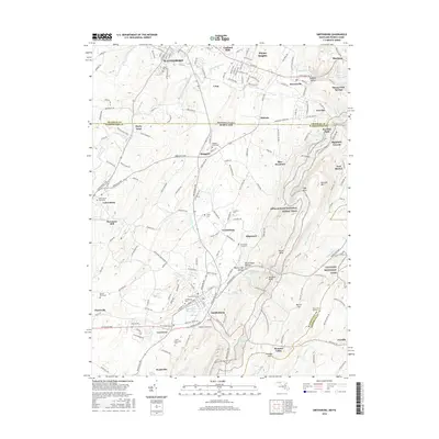
 2019 Smithsburg2019 Print · USGSCovers Waynesboro, including Smithsburg, Wayne Heights, and other nearby areas
 - 2023 Map of Waynesboro, 2023 Print
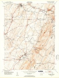
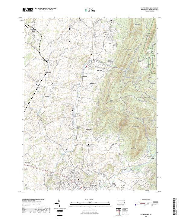 2023 Waynesboro2023 Print · USGSWaynesboro and the surrounding Franklin County valley are captured here in the early twenty-first century, showing the meeting of historic crossroads and mountain trails. Researchers can trace family sites like the Jacob Harshman Family Cem or find the Snow Hill Nunnery Cem near Quincy.
 - 2023 Map of Smithsburg, 2023 Print
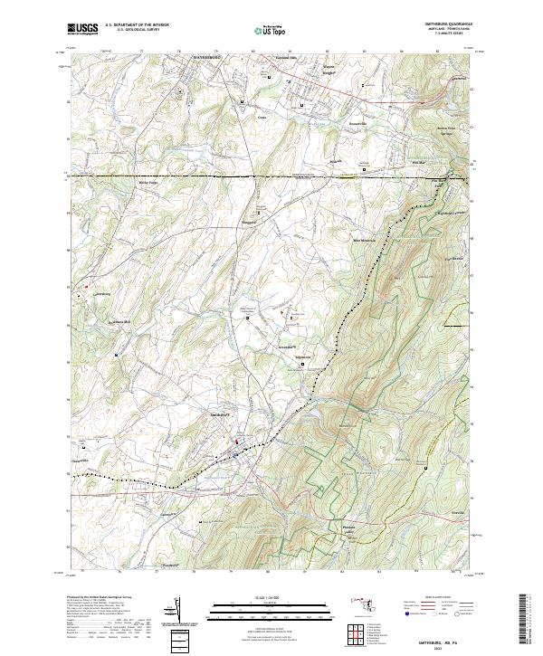 2023 Smithsburg2023 Print · USGSThe Pennsylvania and Maryland state line comes alive in this study of the Blue Ridge foothills during the early twenty-first century. Researchers can trace family history through numerous rural burial sites like Ringgold Graveyard and Stouffers Cem or locate the historic Bowmans Mill along the Antietam headwaters.
End of results
Showing maps 1-24 of 24
Top cities near Waynesboro
- Hagerstown historical maps
- Chambersburg historical maps
- Halfway historical maps
- Robinwood historical maps
- Thurmont historical maps
- Fountainhad-Orchard Hills historical maps
See more
Frequently asked questions
- What are the different types of historical maps available for Waynesboro?
- What is the oldest map of Waynesboro?
- Where can I purchase historical maps of Waynesboro for my home or office?
- Where can I download high-res historical maps of Waynesboro?
- Are there historical topographic maps available for Waynesboro?
- Is there historical aerial imagery available for Waynesboro?
- Where are historical maps of Waynesboro sourced from?