2010s Maps of Fulton County, Pennsylvania
Explore 68 historic maps of Fulton County from the 2010s. These maps offer a rare glimpse into what life looked like during the 2010s — showing old roads, neighborhoods, homes, and landmarks that have changed or disappeared over time.
Whether you're researching your family's past, planning a metal detecting trip, or studying how Fulton County's landscape evolved across the 2010s, these high-resolution maps are a powerful tool for exploring the history of this region.
- Focus on a specific era: All maps on this page are from the 2010s, giving you a focused view of this time period.
- See what’s changed: Compare century-old streets, trails, and buildings to today's modern landscape using overlays and satellite layers.
- Research with precision: Use these maps for genealogy, historical research, land use analysis, or educational projects.
- View, download, or print: Maps are fully viewable online in high resolution, and can be downloaded or printed for your own records.
Start exploring Fulton County's history through authentic maps from the 2010s. This is your window into the past.
Fulton County, PA maps
(68)- 2010 Map of Saxton, 2010 Print
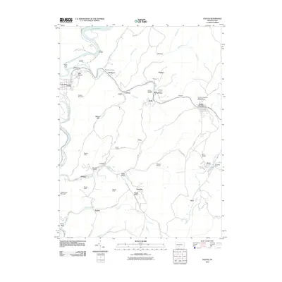 2010 Saxton2010 Print · USGSBroad Top Mountain and the Juniata River valley appear in this 2010 survey of south-central Pennsylvania. Genealogists can trace family heritage at the Broad Top Independent Order of Odd Fellows Cemetery or the Rhoat Family Cemetery near Saxton.
 - 2010 Map of Wells Tannery, 2010 Print
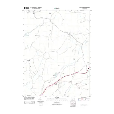 2010 Wells Tannery2010 Print · USGSFulton County and the surrounding highlands are depicted here in the early 21st century as a landscape shaped by transportation and geography. Researchers can find old landmarks like the Old Mountain House and trace regional transit through the Rays Hill Tunnel and Sideling Hill Tunnel.
 - 2010 Map of Breezewood, 2010 Print
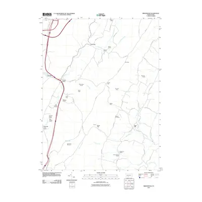 2010 Breezewood2010 Print · USGSBreezewood and the surrounding Bedford County townships appear at a crossroads of commerce and mountain geography in the early twenty-first century. Researchers can trace the layout of small settlements like Crystal Spring and Sipes Mill or locate family-named terrain like Marshall Hollow and Jackson Ridge.
 - 2010 Map of Meadow Grounds, 2010 Print
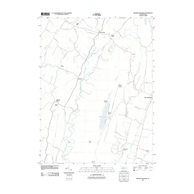 2010 Meadow Grounds2010 Print · USGSFulton County's rural character is preserved in this early twenty-first-century view of the ridges and valleys near the county seat. Researchers can locate family landmarks like Wink Cemetery and Big Spring Cemetery or trace the waters of Licking Creek and Meadow Grounds Lake.
 - 2010 Map of Mercersburg, 2010 Print
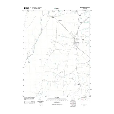 2010 Mercersburg2010 Print · USGSMercersburg and the surrounding Franklin County foothills are captured in this modern survey of the Appalachian fringe. Genealogists and local historians can trace family lands and rural crossroads near Cove Gap, Mercersburg Junction, and Claylick.
 - 2010 Map of Big Cove Tannery, 2010 Print
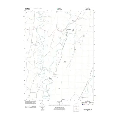 2010 Big Cove Tannery2010 Print · USGSFulton County’s valley landscapes remain defined by their historic creeks and ridge-top roads at the start of the twenty-first century. Researchers can trace family-named sites and rural centers like Big Cove Tannery, Websters Mill, and Anthony Ford.
 - 2010 Map of Mench, 2010 Print
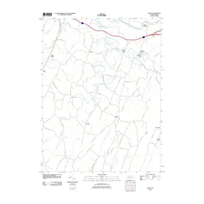 2010 Mench2010 Print · USGSBedford County's rural townships are documented here in the early twenty-first century, showing a landscape of quiet valleys and family-named roads. You can trace local landmarks like Felten's Covered Bridge, the settlement at Mattie, and the old crossing at Jackson Mills.
 - 2010 Map of Fannettsburg, 2010 Print
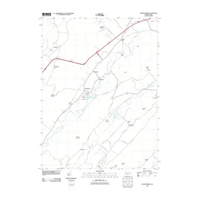 2010 Fannettsburg2010 Print · USGSPath Valley and the surrounding ridges of Franklin County are shown here at the start of the 2010s. Researchers can locate long-standing landmarks like Hoovers Mill, the Tuscarora Tunnel, and several historic burying grounds such as Cree Cemetery.
 - 2010 Map of Burnt Cabins, 2010 Print
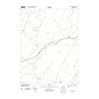 2010 Burnt Cabins2010 Print · USGSThe Pennsylvania ridge-and-valley country comes into sharp focus at the start of the twenty-first century, showing a landscape defined by gaps and historic trails. Trace the routes of Forbes Trail Rd and Stage Coach Rd near the old sites of Fort Littleton and Burnt Cabins.
 - 2010 Map of Hustontown, 2010 Print
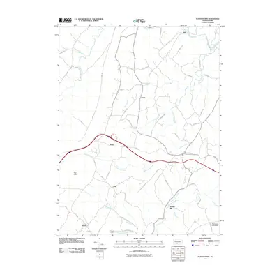 2010 Hustontown2010 Print · USGSHustontown and the surrounding Fulton County valleys are captured here in the early twenty-first century. Genealogists and historians can trace family-named landmarks and rural hubs such as Mellotts Mill, Dublin Mills, and the small settlement at Laidig.
 - 2010 Map of Saltillo, 2010 Print
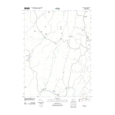 2010 Saltillo2010 Print · USGSModern Huntingdon County terrain reveals a network of old coal-country hamlets and family burial grounds during the early twenty-first century. Genealogists can trace family roots through sites like the Edwards Family Cemetery, Robertsdale, and New Grenada.
 - 2010 Map of Needmore, 2010 Print
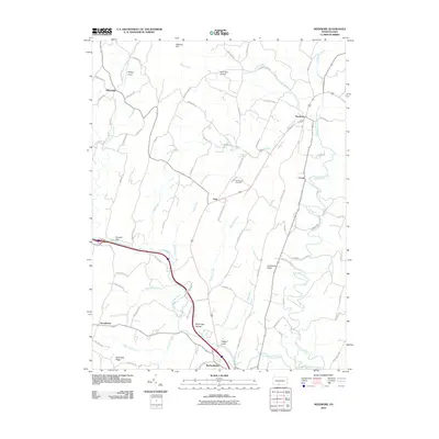 2010 Needmore2010 Print · USGSFulton County’s ridges and valleys come into focus in the early 2000s, centered on the settlements of Warfordsburg and Needmore. Trace local family history and rural geography through landmarks like Hill Chapel Cemetery, Flickerville, and the waters of Little Tonoloway Creek.
 - 2010 Map of McConnellsburg, 2010 Print
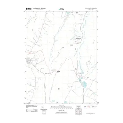 2010 McConnellsburg2010 Print · USGSFranklin County's mountain gaps and valley settlements are shown here in the early twenty-first century. Genealogists and local historians can trace the roads and waterways connecting McConnellsburg, Fort Loudon, and the historic Richmond Furnace.
 - 2011 Map of Bellegrove, 2011 Print
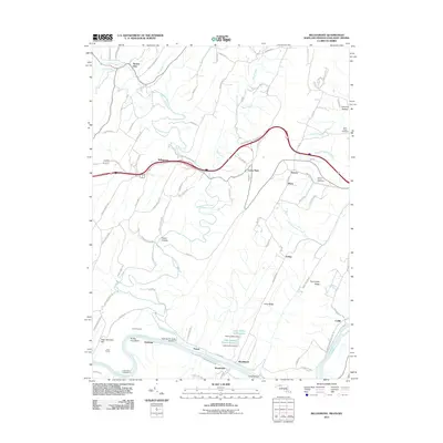 2011 Bellegrove2011 Print · USGSMaryland's river-and-rail corridor along the Potomac is captured here in the early twenty-first century. Researchers can trace historic family connections through Saint Pauls Cemetery and examine the engineering legacy of the Indigo Tunnel and Sideling Hill Creek Aqueduct.
 - 2011 Map of Cherry Run, 2011 Print
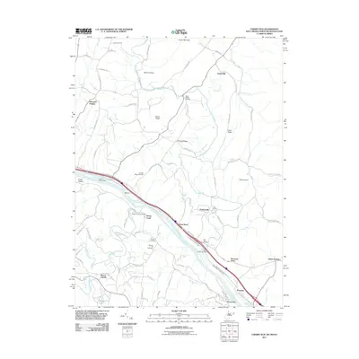 2011 Cherry Run2011 Print · USGSThe Potomac River corridor in the early twenty-first century reveals a landscape shaped by historical transport and small-town roots. Researchers can trace ancestral locations at Stone Bridge Cemetery and explore old riverfront hubs like Millstone and Sleepy Creek.
 - 2011 Map of Hancock, 2011 Print
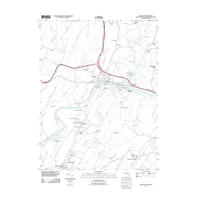 2011 Hancock2011 Print · USGSThe tri-state border comes alive in this survey of the Potomac valley, showing the area as it transitioned into the new millennium. Researchers can trace the Chesapeake and Ohio Canal or locate local landmarks like Sir Johns Run and Johnsons Mill.
 - 2011 Map of Artemas, 2011 Print
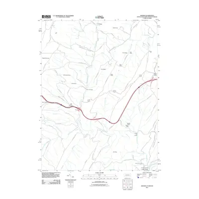 2011 Artemas2011 Print · USGSThe Potomac River border and the mountains of Allegany County are captured here just after the turn of the twenty-first century. Genealogists and hikers can trace landmarks like Saint Patricks Cemetery, the Little Orleans Post Office, and Artemas.
 - 2013 Map of Saltillo, 2013 Print
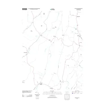 2013 Saltillo2013 Print · USGSThe Ridge-and-Valley region of Huntingdon County comes into focus in this modern era survey. Local historians can trace the road networks connecting hamlets like Saltillo, New Grenada, and Robertsdale, or locate the Rock Hill Lookout Tower atop the high ground.
 - 2013 Map of Hustontown, 2013 Print
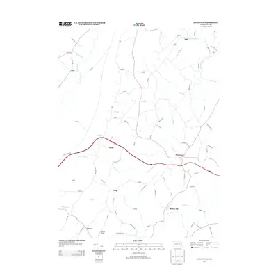 2013 Hustontown2013 Print · USGSFulton County’s rural landscape is captured here in the early twenty-first century, showing a network of small settlements and stream valleys. Researchers can trace the heritage of Dublin Mills, locate the Flying R Airport, or follow the course of Wooden Bridge Cr and Lick Run.
 - 2013 Map of Wells Tannery, 2013 Print
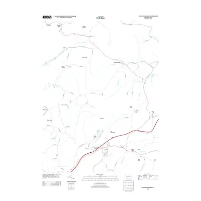 2013 Wells Tannery2013 Print · USGSFulton County settlements and mountain passes are captured here in the early twenty-first century. Researchers can locate family landmarks like Old Mountain House and Budds Place or trace the geography around Wells Tannery.
 - 2013 Map of Saxton, 2013 Print
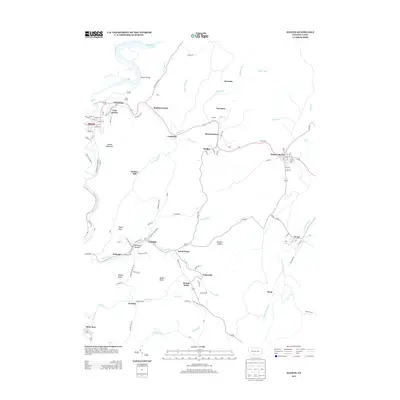 2013 Saxton2013 Print · USGSBroad Top City and the surrounding mining boroughs of Huntingdon County are documented here in the early twenty-first century. Genealogists and historians can trace family roots through the street grids of Saxton, Barnettstown, and Puttstown, or follow the industrial heritage along Sixmile Run.
 - 2013 Map of Breezewood, 2013 Print
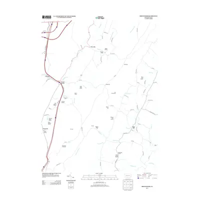 2013 Breezewood2013 Print · USGSEast Providence Township in the early twenty-first century remains defined by its deep hollows and high ridges. Researchers can trace ancestral locations near Crystal Spring, Akersville, and Sipes Mill, or locate landmarks like Crystal Spring Camp and Bear Pond.
 - 2013 Map of Big Cove Tannery, 2013 Print
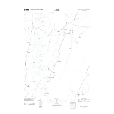 2013 Big Cove Tannery2013 Print · USGSAyr Township and the surrounding Fulton County countryside are captured here in the early twenty-first century, showing a landscape defined by ridges and valley settlements. Genealogists and local historians can trace family locations near Big Cove Tannery, Websters Mill, and Sylvan.
 - 2013 Map of Mench, 2013 Print
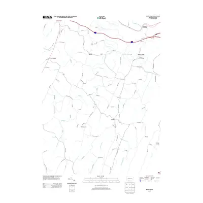 2013 Mench2013 Print · USGSBedford County's rural heartland is captured here in the early twenty-first century, showcasing a landscape of river crossings and mountain ridges. Genealogists and local historians can trace the roads connecting Mattie, Mench, and Emerson, while bridge enthusiasts can locate Felten's Covered Bridge and Jackson's Mill Covered Bridge.
 - 2013 Map of Needmore, 2013 Print
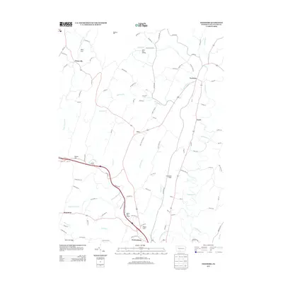 2013 Needmore2013 Print · USGSFulton County rural life is mapped here in the early twenty-first century, showing the enduring paths through the Appalachians. Genealogists can trace family lands near Needmore, Warfordsburg, and the geographic landmarks of Whips Cove or Pigeon Cove.
Showing maps 1-25 of 68
Top cities of Fulton County
Frequently asked questions
- What are the different types of historical maps available for Fulton County?
- What is the oldest map of Fulton County?
- Where can I purchase historical maps of Fulton County for my home or office?
- Where can I download high-res historical maps of Fulton County?
- Are there historical topographic maps available for Fulton County?
- Is there historical aerial imagery available for Fulton County?
- Where are historical maps of Fulton County sourced from?