2000s (21st Century) Maps of Taylor Township, Pennsylvania
Explore 15 historic maps of Taylor Township from the 2000s (21st Century). These maps offer a rare glimpse into what life looked like during the 2000s — showing old roads, neighborhoods, homes, and landmarks that have changed or disappeared over time.
Whether you're researching your family's past, planning a metal detecting trip, or studying how Taylor Township's landscape evolved across the 2000s, these high-resolution maps are a powerful tool for exploring the history of this region.
- Focus on a specific era: All maps on this page are from the 2000s, giving you a focused view of this time period.
- See what’s changed: Compare century-old streets, trails, and buildings to today's modern landscape using overlays and satellite layers.
- Research with precision: Use these maps for genealogy, historical research, land use analysis, or educational projects.
- View, download, or print: Maps are fully viewable online in high resolution, and can be downloaded or printed for your own records.
Start exploring Taylor Township's history through authentic maps from the 2000s. This is your window into the past.
Taylor Township, PA maps
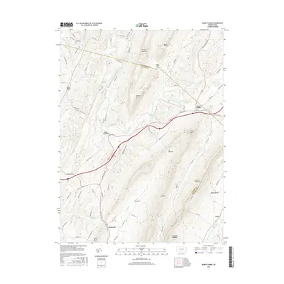
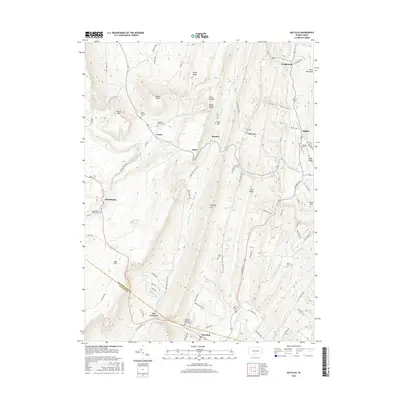
(15)- 2010 Map of Burnt Cabins, 2010 Print
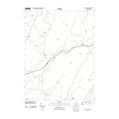 2010 Burnt Cabins2010 Print · USGSCovers Taylor Township, including Metal Township, Burnt Cabins, and other nearby areas
 - 2010 Map of Hustontown, 2010 Print
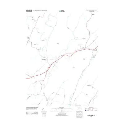
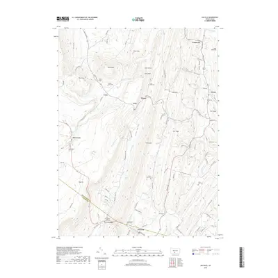
 2010 Hustontown2010 Print · USGSCovers Taylor Township, including Laidig, Hustontown, and other nearby areas
 - 2010 Map of Saltillo, 2010 Print
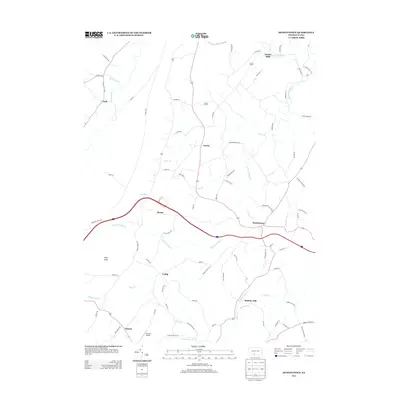
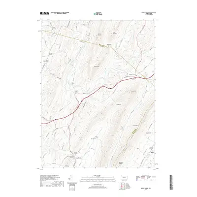
 2010 Saltillo2010 Print · USGSCovers Taylor Township, including Todd Township, Saltillo, and other nearby areas
 - 2013 Map of Saltillo, 2013 Print
 2013 Saltillo2013 Print · USGSCovers Taylor Township, including Todd Township, Saltillo, and other nearby areas
 - 2013 Map of Hustontown, 2013 Print
 2013 Hustontown2013 Print · USGSCovers Taylor Township, including Laidig, Hustontown, and other nearby areas
 - 2013 Map of Burnt Cabins, 2013 Print
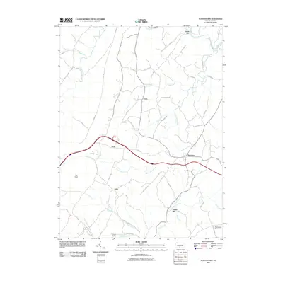
 2013 Burnt Cabins2013 Print · USGSCovers Taylor Township, including Metal Township, Burnt Cabins, and other nearby areas
 - 2016 Map of Burnt Cabins, 2016 Print
 2016 Burnt Cabins2016 Print · USGSCovers Taylor Township, including Metal Township, Burnt Cabins, and other nearby areas
 - 2016 Map of Hustontown, 2016 Print
 2016 Hustontown2016 Print · USGSCovers Taylor Township, including Laidig, Hustontown, and other nearby areas
 - 2016 Map of Saltillo, 2016 Print
 2016 Saltillo2016 Print · USGSCovers Taylor Township, including Todd Township, Saltillo, and other nearby areas
 - 2019 Map of Burnt Cabins, 2019 Print
 2019 Burnt Cabins2019 Print · USGSCovers Taylor Township, including Metal Township, Burnt Cabins, and other nearby areas
 - 2019 Map of Saltillo, 2019 Print
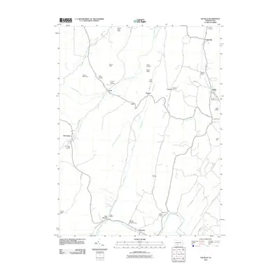
 2019 Saltillo2019 Print · USGSCovers Taylor Township, including Todd Township, Saltillo, and other nearby areas
 - 2019 Map of Hustontown, 2019 Print
 2019 Hustontown2019 Print · USGSCovers Taylor Township, including Laidig, Hustontown, and other nearby areas
 - 2023 Map of Saltillo, 2023 Print
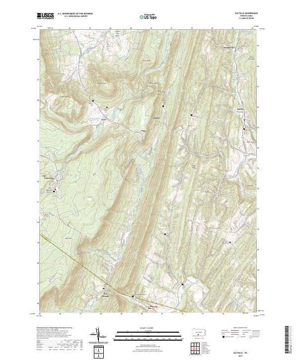 2023 Saltillo2023 Print · USGSThe Huntingdon and Fulton county line comes alive in this survey of the coal and mountain settlements during the early 2020s. Genealogists can trace family legacies at the Robertsdale Italian Cem, Mount Pleasant Cem, and Zion Methodist Church.
 - 2023 Map of Hustontown, 2023 Print
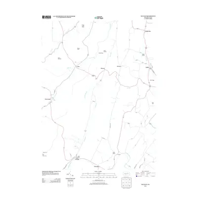
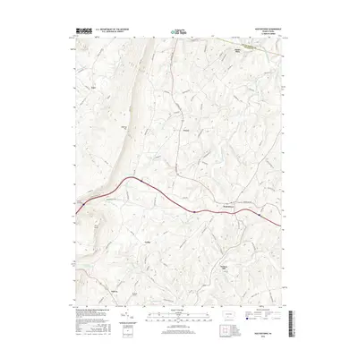
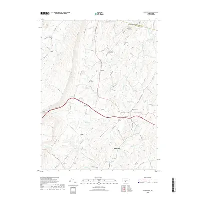
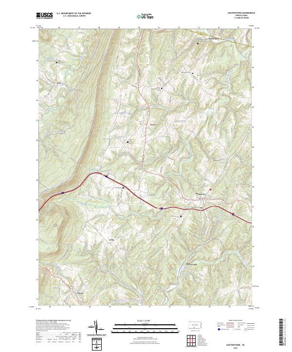 2023 Hustontown2023 Print · USGSFulton County and the eastern slopes of Sideling Hill are documented here in recent detail. Researchers can trace rural legacy through many family-named landmarks like Mellotts Mill and local burial sites such as Winegardner Cem and Fairview Cem.
 - 2023 Map of Burnt Cabins, 2023 Print
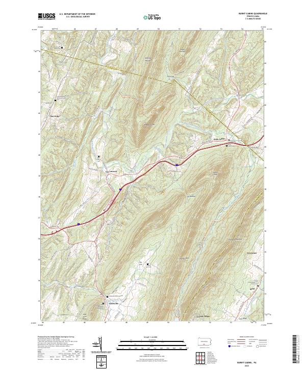 2023 Burnt Cabins2023 Print · USGSThe ridge-and-valley landscape of Fulton County is captured here in detail, showcasing a region defined by its narrow gaps and historic mountain passes. Genealogists can trace family sites at Englert Farm Cem, Knobsville, and the historic Fort Littleton Cem.
End of results
Showing maps 1-15 of 15
Top cities near Taylor Township
- Metal Township historical maps
- McConnellsburg historical maps
- Todd Township historical maps
- Saxton historical maps
- Three Springs historical maps
- Orbisonia historical maps
See more
Top neighborhoods of Taylor Township
- Waterfall historical maps
- Hiram historical maps
- Dublin Mills historical maps
- Gracey historical maps
- Laidig historical maps
Frequently asked questions
- What are the different types of historical maps available for Taylor Township?
- What is the oldest map of Taylor Township?
- Where can I purchase historical maps of Taylor Township for my home or office?
- Where can I download high-res historical maps of Taylor Township?
- Are there historical topographic maps available for Taylor Township?
- Is there historical aerial imagery available for Taylor Township?
- Where are historical maps of Taylor Township sourced from?