Old Maps of Thompson Township, Pennsylvania for Metal Detecting
Plan your next treasure hunt with 39 historic maps of Thompson Township. Find old homesites, ghost towns, trails, and gathering spots that may be lost to time — perfect for identifying promising metal detecting locations.
- Locate forgotten sites: Uncover places like long-lost settlements, abandoned rail lines, or gathering spots.
- Plan better hunts: Use map overlays combined with LiDAR or satellite views to narrow in on historically rich areas.
- Made for detectorists: Thousands of hobbyists use these maps to discover relics, coins, and hidden history.
Use these historic maps to boost your research and find new opportunities beneath the surface of Thompson Township.
Thompson Township, PA maps
(39)- 1899 Map of Hancock, 1960 Print
 1899 Hancock1960 Print · USGSThe Potomac River valley at the turn of the century shows a bustling corridor of trade where Maryland, West Virginia, and Pennsylvania meet. Genealogy researchers can trace family landmarks like Stotlers Crossroads, Yeakle Mill, and the historic Fort Frederick.
 - 1901 Map of Hancock
 1901 Hancock1901 Print · USGSMaryland and West Virginia met at the turn of the century along a busy corridor of river transport and rail expansion. Genealogists can trace family roots through old landmarks like Yeakle Mill, Fairview Church, and early hamlets such as Stotlers Crossroads.8 unique versions available
 - 1925 Map of Needmore
 1925 Needmore1925 Print · USGSFulton County’s ridges and valleys are meticulously detailed in the mid-1920s, showing the early path of the Lincoln Highway. Researchers can locate dozens of country institutions, from the Old Mountain House to the Sideling Hill Baptist Church and Sipes Mill.
 - 1935 Map of Needmore
 1935 Needmore1935 Print · USGSFulton County settlements and ridge-and-valley farmsteads are documented here in the years before the Second World War. Genealogists can trace family names at Wink Cem or locate rural landmarks like Hammans Store, Sipes Mill, and Big Cove Tannery.
 - 1939 Map of Needmore
 1939 Needmore1939 Print · USGSFulton County and the Bedford-Franklin borderlands appear here in the late thirties, showing a rural landscape defined by steep ridges and narrow valleys. Researchers can locate family landmarks like Sipes Mill, Wink Cem, and the Big Cove Tannery.3 unique versions available
 - 1948 Map of Cumberland
 1948 Cumberland1948 Print · USGSMid-century Appalachia and the Shenandoah Valley are shown in detail, documenting the industrial and transportation hubs of the tri-state area. Genealogists can trace family roots through settlements like Double Tollgate and Bunker Hill or along the Baltimore & Ohio RR.3 unique versions available
 - 1951 Map of Cherry Run, 1953 Print
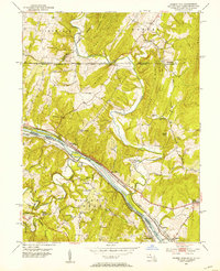 1951 Cherry Run1953 Print · USGSThe Potomac River valley and its rugged ridges are captured here during the early fifties as the region's transport network evolved. Genealogists and rail historians can trace the paths of the National Pike, the Baltimore and Ohio Railroad, and the Chesapeake and Ohio Canal (Abandoned).8 unique versions available
 - 1951 Map of Hancock, 1953 Print
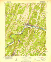 1951 Hancock1953 Print · USGSThe tri-state Potomac borderlands are captured here in the early fifties, showing the convergence of rail and river industry. Genealogists can trace family roots through Dogtown, Ridersville, and Johnsons Mill, or locate rural landmarks like the Westview Sch.4 unique versions available
 - 1952 Map of Cumberland
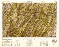 1952 Cumberland1952 Print · USGSThe Potomac Highlands and the Shenandoah Valley are revealed in this early 1950s survey of the Appalachian interior. Researchers can trace the river-and-rail corridors connecting Cumberland, Winchester, and the recreational waters of Deep Creek Lake.
 - 1956 Map of Cumberland, 1966 Print
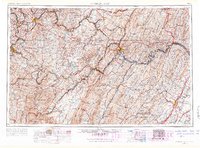 1956 Cumberland1966 Print · USGSThe tri-state Highlands in the mid-1950s show a landscape shaped by coal, timber, and the massive presence of the Baltimore & Ohio RR. Researchers can trace the industrial corridor from Cumberland through the Allegheny Mountains to mountain retreats like Deep Creek Lake.6 unique versions available
 - 1957 Map of Cumberland
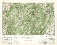 1957 Cumberland1957 Print · USGSThe Potomac River valley and the ridges of the Allegheny Front define this mid-century landscape at the intersection of Maryland, West Virginia, and Pennsylvania. Trace the steam-era rail lines of the Baltimore and Ohio RR or locate rural landmarks like St Stephens Church and Stony River Dam.
 - 1961 Map of Cumberland
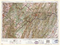 1961 Cumberland1961 Print · USGSThe tri-state highlands of Maryland, West Virginia, and Pennsylvania are shown in the mid-twentieth century as a complex landscape of ridges and river valleys. Researchers can trace the winding Potomac River and find old rail-and-river towns like Cumberland, Keyser, and Morgantown.
 - 1962 Map of Cumberland
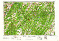 1962 Cumberland1962 Print · USGSThe central Appalachians meet at the height of the mid-century industrial era, showing the rugged topography between Morgantown and Winchester. Genealogists can trace family lands near Fort Necessity or along the vital Baltimore & Ohio RR corridors.
 - 1967 Map of Needmore, 1970 Print
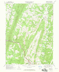 1967 Needmore1970 Print · USGSFulton County settlements and ridge-top terrain are captured here in the late sixties. Genealogists and local historians can trace family-named landmarks like Mays Chapel and Oakley Ch, or locate smaller communities such as Covalt and Flickerville.5 unique versions available
 - 1967 Map of Big Cove Tannery, 1970 Print
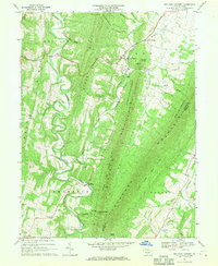 1967 Big Cove Tannery1970 Print · USGSFulton County settlements and ridge-and-valley terrain are captured here in the late sixties as the region maintained its rural character. Genealogists and historians can trace family locations near Websters Mill, Big Cove Tannery, and numerous country churches like Damascus Ch.3 unique versions available
 - 1981 Map of Cumberland, 1982 Print
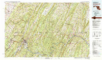 1981 Cumberland1982 Print · USGSThe tri-state region of Maryland, Pennsylvania, and West Virginia is captured here in the early eighties as a landscape of industrial history and ridgeline geography. Researchers can trace the heritage of the C & O Canal and the B & O RR through mountain gaps and coal towns like Eckhart Mines and Frostburg.2 unique versions available
 - 1994 Map of Big Cove Tannery, 1997 Print
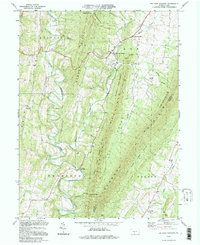 1994 Big Cove Tannery1997 Print · USGSFulton County's ridge-and-valley landscape is documented here in the mid-1990s, capturing a rural network of small timber and milling settlements. Researchers can locate family landmarks like Websters Mill, St Pauls Ch, and the remote homes at The Lockings.
 - 1996 Map of Hancock, 2000 Print
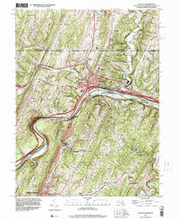 1996 Hancock2000 Print · USGSThe tri-state border region comes alive in the late nineties as transportation corridors follow the winding river gaps through the Appalachian ridges. Trace local landmarks from the Mason and Dixon Line down to Berkeley Springs, including Stotlers Crossroads and the Potomac Airport.
 - 1998 Map of Cherry Run, 2002 Print
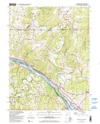 1998 Cherry Run2002 Print · USGSThe tri-state border near the Potomac River was a hub of transit and mountain farming at the close of the twentieth century. Researchers can trace the path of the Mason and Dixon Line and find historic sites like Yeakle Mill and Millstone (Miller Sta).
 - 2010 Map of Big Cove Tannery, 2010 Print
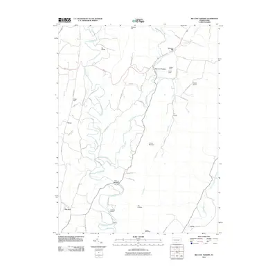 2010 Big Cove Tannery2010 Print · USGSFulton County’s valley landscapes remain defined by their historic creeks and ridge-top roads at the start of the twenty-first century. Researchers can trace family-named sites and rural centers like Big Cove Tannery, Websters Mill, and Anthony Ford.
 - 2010 Map of Needmore, 2010 Print
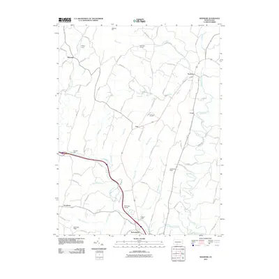 2010 Needmore2010 Print · USGSFulton County’s ridges and valleys come into focus in the early 2000s, centered on the settlements of Warfordsburg and Needmore. Trace local family history and rural geography through landmarks like Hill Chapel Cemetery, Flickerville, and the waters of Little Tonoloway Creek.
 - 2011 Map of Cherry Run, 2011 Print
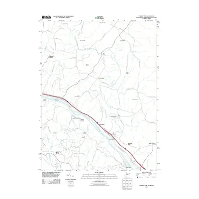 2011 Cherry Run2011 Print · USGSThe Potomac River corridor in the early twenty-first century reveals a landscape shaped by historical transport and small-town roots. Researchers can trace ancestral locations at Stone Bridge Cemetery and explore old riverfront hubs like Millstone and Sleepy Creek.
 - 2011 Map of Hancock, 2011 Print
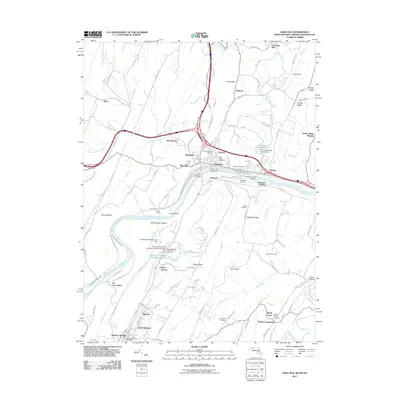 2011 Hancock2011 Print · USGSThe tri-state border comes alive in this survey of the Potomac valley, showing the area as it transitioned into the new millennium. Researchers can trace the Chesapeake and Ohio Canal or locate local landmarks like Sir Johns Run and Johnsons Mill.
 - 2013 Map of Big Cove Tannery, 2013 Print
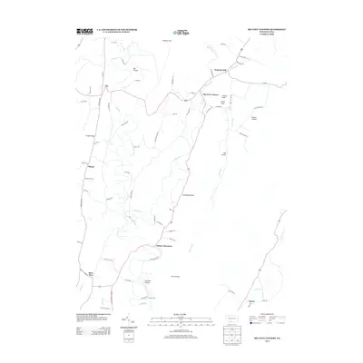 2013 Big Cove Tannery2013 Print · USGSAyr Township and the surrounding Fulton County countryside are captured here in the early twenty-first century, showing a landscape defined by ridges and valley settlements. Genealogists and local historians can trace family locations near Big Cove Tannery, Websters Mill, and Sylvan.
 - 2013 Map of Needmore, 2013 Print
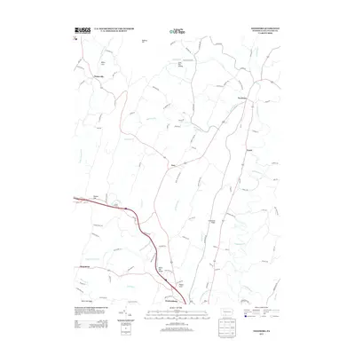 2013 Needmore2013 Print · USGSFulton County rural life is mapped here in the early twenty-first century, showing the enduring paths through the Appalachians. Genealogists can trace family lands near Needmore, Warfordsburg, and the geographic landmarks of Whips Cove or Pigeon Cove.
Showing maps 1-25 of 39
Top cities near Thompson Township
- Metal Township historical maps
- Hancock historical maps
- Mercersburg historical maps
- McConnellsburg historical maps
- Berkeley Springs historical maps
- Clear Spring historical maps
See more
Top neighborhoods of Thompson Township
- Dogtown historical maps
- Johnsons Mill historical maps
- Plum Run historical maps
- Covalt historical maps
- Sharpe historical maps
- Dickeys Mountain historical maps
Frequently asked questions
- What are the different types of historical maps available for Thompson Township?
- What is the oldest map of Thompson Township?
- Where can I purchase historical maps of Thompson Township for my home or office?
- Where can I download high-res historical maps of Thompson Township?
- Are there historical topographic maps available for Thompson Township?
- Is there historical aerial imagery available for Thompson Township?
- Where are historical maps of Thompson Township sourced from?